1813 Mcdade Rd Augusta, GA 30906
McDade NeighborhoodEstimated Value: $212,000 - $338,136
4
Beds
3
Baths
2,032
Sq Ft
$131/Sq Ft
Est. Value
About This Home
This home is located at 1813 Mcdade Rd, Augusta, GA 30906 and is currently estimated at $266,034, approximately $130 per square foot. 1813 Mcdade Rd is a home located in Richmond County with nearby schools including Goshen Elementary School, Pine Hill Middle School, and Johnson Magnet.
Ownership History
Date
Name
Owned For
Owner Type
Purchase Details
Closed on
Aug 1, 2006
Sold by
Jeffcoat Walton Richter
Bought by
Williams Jeffcoat Caroline C
Current Estimated Value
Home Financials for this Owner
Home Financials are based on the most recent Mortgage that was taken out on this home.
Original Mortgage
$205,000
Outstanding Balance
$125,743
Interest Rate
6.68%
Mortgage Type
Purchase Money Mortgage
Estimated Equity
$140,291
Purchase Details
Closed on
Sep 14, 2005
Sold by
Brassell Gene and Brassell Debra
Bought by
Jeffcoat Walton Richter
Home Financials for this Owner
Home Financials are based on the most recent Mortgage that was taken out on this home.
Original Mortgage
$22,250
Interest Rate
5.86%
Mortgage Type
Purchase Money Mortgage
Purchase Details
Closed on
Jul 12, 1999
Sold by
Rascal Enterprises Inc
Bought by
Rascal Enterprises Inc
Purchase Details
Closed on
Jun 21, 1999
Sold by
Askin Otis F
Bought by
Rascal Enterprises Inc
Purchase Details
Closed on
Mar 24, 1999
Sold by
Rascal Enterprises
Bought by
Brassell Gene
Purchase Details
Closed on
Feb 19, 1999
Sold by
Rascal Enterprises Inc
Bought by
Rascal Enterprises Inc
Purchase Details
Closed on
Oct 15, 1997
Sold by
Madebach Rudolph H By Exr Madebach Rudol
Bought by
Rascal Enterprises Inc
Create a Home Valuation Report for This Property
The Home Valuation Report is an in-depth analysis detailing your home's value as well as a comparison with similar homes in the area
Home Values in the Area
Average Home Value in this Area
Purchase History
| Date | Buyer | Sale Price | Title Company |
|---|---|---|---|
| Williams Jeffcoat Caroline C | -- | None Available | |
| Jeffcoat Walton Richter | -- | -- | |
| Jeffcoat Walton Richter | $32,000 | -- | |
| Rascal Enterprises Inc | -- | -- | |
| Rascal Enterprises Inc | -- | -- | |
| Brassell Gene | $21,900 | -- | |
| Rascal Enterprises Inc | -- | -- | |
| Rascal Enterprises Inc | -- | -- |
Source: Public Records
Mortgage History
| Date | Status | Borrower | Loan Amount |
|---|---|---|---|
| Open | Jeffcoat Walton Richter | $205,000 | |
| Previous Owner | Jeffcoat Walton Richter | $22,250 |
Source: Public Records
Tax History
| Year | Tax Paid | Tax Assessment Tax Assessment Total Assessment is a certain percentage of the fair market value that is determined by local assessors to be the total taxable value of land and additions on the property. | Land | Improvement |
|---|---|---|---|---|
| 2025 | $3,632 | $126,724 | $11,016 | $115,708 |
| 2024 | $3,632 | $104,596 | $11,016 | $93,580 |
| 2023 | $3,066 | $101,848 | $11,016 | $90,832 |
| 2022 | $2,205 | $69,607 | $11,016 | $58,591 |
| 2021 | $2,365 | $69,068 | $11,016 | $58,052 |
| 2020 | $2,327 | $69,068 | $11,016 | $58,052 |
| 2019 | $2,468 | $69,068 | $11,016 | $58,052 |
| 2018 | $2,436 | $67,550 | $11,016 | $56,534 |
| 2017 | $2,355 | $67,550 | $11,016 | $56,534 |
| 2016 | $2,356 | $67,550 | $11,016 | $56,534 |
| 2015 | $2,339 | $66,502 | $11,016 | $55,486 |
| 2014 | $2,342 | $66,502 | $11,016 | $55,486 |
Source: Public Records
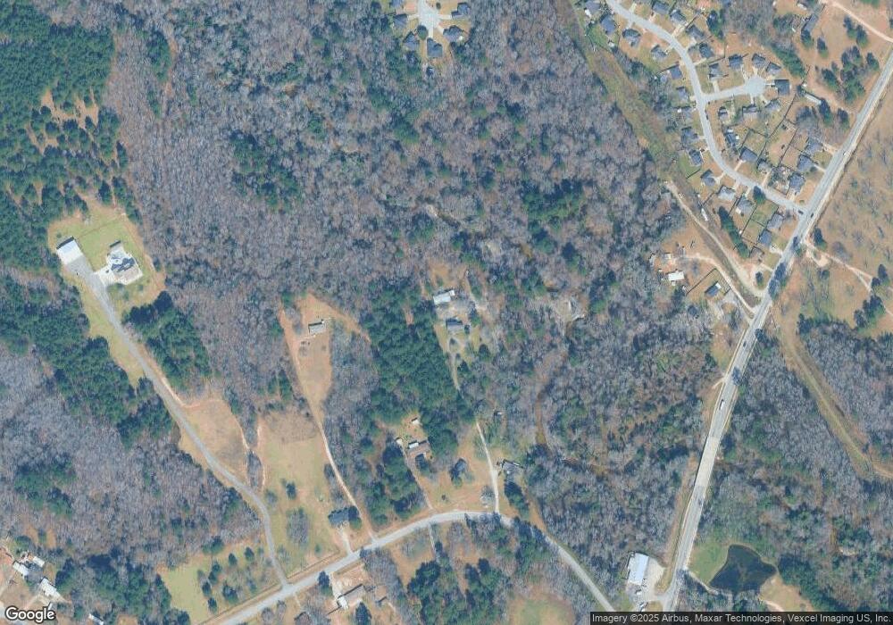
Map
Nearby Homes
- 4014 Royal Oaks Ct
- 4077 Burning Tree Ln
- 4034 Burning Tree Ln
- 3405 Southern Ridge Ct
- 4038 Goshen Lake Dr S
- 4064 Fairlane Ct
- 3971 Old Waynesboro Rd
- 1708 Goshen Rd
- 3973 Old Waynesboro Rd
- 4047 Union Grove Cir
- 3920 Union Grove Cir
- 4130 Old Waynesboro Rd
- 3926 Union Grove Cir
- 1898 McDade Farm Rd
- 2114 Southlake Pkwy
- 1737 Tamarind Way
- 2121 Southlake Pkwy
- 1596 Goshen Rd Unit D
- 1073 Woodberry Dr
- 1894 Mcdade Rd
- 1819 Mcdade Rd
- 4043 Old Waynesboro Rd
- 4045 Old Waynesboro Rd
- 4054 Old Waynesboro Rd
- 4039 Old Waynesboro Rd
- 4035 Old Waynesboro Rd
- 4056 Old Waynesboro Rd
- 4059 Burning Tree Ln
- 4057 Burning Tree Ln
- 4061 Burning Tree Ln
- 4058 Old Waynesboro Rd
- 4055 Burning Tree Ln
- 4037 Old Waynesboro Rd
- 4063 Burning Tree Ln
- 4005 Indian Hills Dr
- 4060 Old Waynesboro Rd
- 4065 Burning Tree Ln
- 4003 Indian Hills Dr
- 4052 Burning Tree Ln
- 4051 Burning Tree Ln
Your Personal Tour Guide
Ask me questions while you tour the home.