1813 Patterson Ave Deland, FL 32724
North DeLand NeighborhoodEstimated Value: $376,634
--
Bed
8
Baths
12,000
Sq Ft
$31/Sq Ft
Est. Value
About This Home
This home is located at 1813 Patterson Ave, Deland, FL 32724 and is currently estimated at $376,634, approximately $31 per square foot. 1813 Patterson Ave is a home located in Volusia County with nearby schools including George W. Marks Elementary School, Deland High School, and Deland Middle School.
Ownership History
Date
Name
Owned For
Owner Type
Purchase Details
Closed on
Jun 17, 2019
Sold by
Phillips Crystal
Bought by
Samuel Properties Llc
Current Estimated Value
Purchase Details
Closed on
Nov 29, 1995
Sold by
Barnett Bk Volusia Cty
Bought by
Tascher Edward R and Tascher Evelyn F
Home Financials for this Owner
Home Financials are based on the most recent Mortgage that was taken out on this home.
Original Mortgage
$100,000
Interest Rate
7.4%
Mortgage Type
Commercial
Create a Home Valuation Report for This Property
The Home Valuation Report is an in-depth analysis detailing your home's value as well as a comparison with similar homes in the area
Home Values in the Area
Average Home Value in this Area
Purchase History
| Date | Buyer | Sale Price | Title Company |
|---|---|---|---|
| Samuel Properties Llc | $237,500 | Attorney | |
| Samuel Properties Llc | $237,500 | Attorney | |
| Tascher Edward R | -- | -- | |
| Tascher Edward F | $175,000 | -- |
Source: Public Records
Mortgage History
| Date | Status | Borrower | Loan Amount |
|---|---|---|---|
| Previous Owner | Tascher Edward F | $100,000 |
Source: Public Records
Tax History Compared to Growth
Tax History
| Year | Tax Paid | Tax Assessment Tax Assessment Total Assessment is a certain percentage of the fair market value that is determined by local assessors to be the total taxable value of land and additions on the property. | Land | Improvement |
|---|---|---|---|---|
| 2025 | $7,054 | $428,505 | $64,468 | $364,037 |
| 2024 | $7,054 | $419,852 | $64,468 | $355,384 |
| 2023 | $7,054 | $376,147 | $56,410 | $319,737 |
| 2022 | $6,710 | $351,477 | $56,410 | $295,067 |
| 2021 | $6,605 | $321,529 | $48,351 | $273,178 |
| 2020 | $7,055 | $342,349 | $48,351 | $293,998 |
| 2019 | $6,794 | $314,703 | $48,351 | $266,352 |
| 2018 | $6,670 | $296,290 | $48,351 | $247,939 |
| 2017 | $6,687 | $286,766 | $40,293 | $246,473 |
| 2016 | $6,182 | $269,143 | $0 | $0 |
| 2015 | $6,092 | $256,778 | $0 | $0 |
| 2014 | $6,148 | $253,199 | $0 | $0 |
Source: Public Records
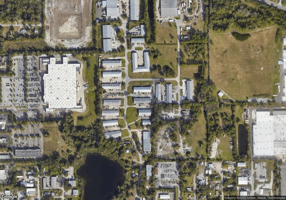
Map
Nearby Homes
- 0 Newport Ave
- 1601 N Woodland Blvd
- 2401 N Woodland Blvd
- 260 Mercers Fernery Rd
- 1 Smith Ct
- 516 Grace Ave
- 124 Lake Molly Ave
- 305 Violetwood Rd
- 104 E Rosehill Ave
- 1412 N Garfield Ave
- 0 North St Unit 1211817
- 0 North St Unit 1216611
- 0 No St Unit MFRV4933386
- 0 No St Unit MFRO6357154
- 0 No St Unit MFRV4941771
- 0 No St Unit 1121839
- 1408 N Garfield Ave
- 2200 N Clara Ave
- 1301 N Amelia Ave
- 195 Lake Molly Ave
- 1815 Patterson Ave
- 1733 Patterson Ave
- 0 Hamilton Rd Unit V4703920
- 0 Patterson Ave
- 1830 Patterson Ave
- 1731 Patterson Ave Unit B
- 1730 Patterson Ave
- 1835 Bennett Ave
- 0 Bennett Dr Unit V4717579
- 1853 Patterson Ave
- 0 Bennett Dr Unit V4717620
- 1635 Patterson Ave
- 1855 Patterson Ave
- 236 Tupelo Honey Cir
- 240 Tupelo Honey Cir
- 0 Violetwood Rd Unit O5511427
- 0 Violetwood Rd Unit MFRNS1001966
- 128 Tupelo Honey Cir
- 232 Tupelo Honey Cir
- 244 Tupelo Honey Cir