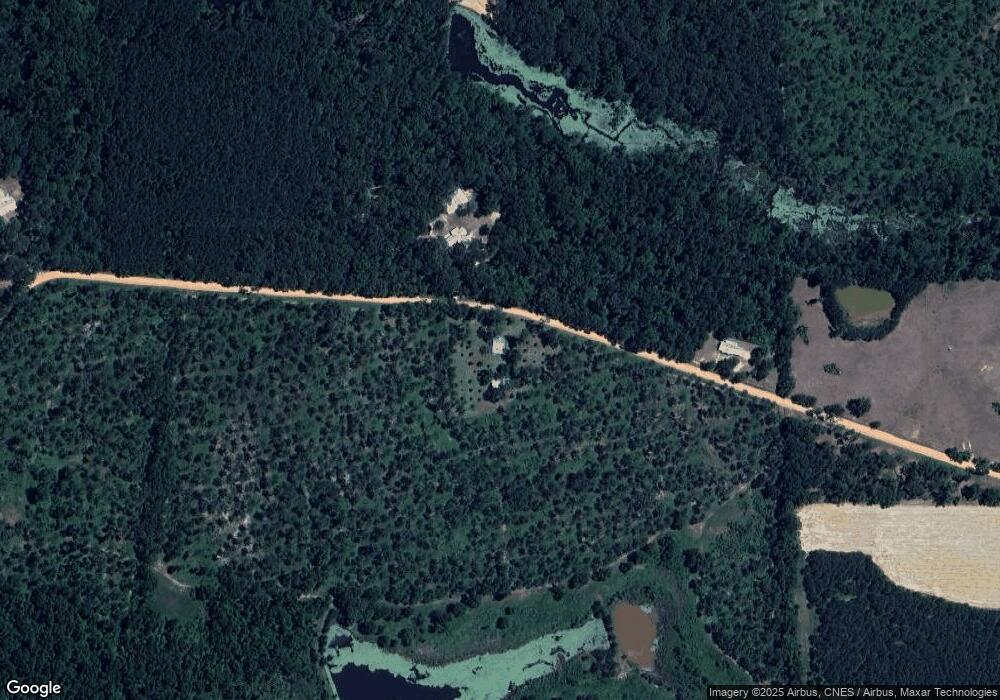
1813 Spring Hill Rd Whigham, GA 39897
Estimated Value: $114,000 - $567,694
Studio
1
Bath
975
Sq Ft
$426/Sq Ft
Est. Value
About This Home
This home is located at 1813 Spring Hill Rd, Whigham, GA 39897 and is currently estimated at $415,674, approximately $426 per square foot. 1813 Spring Hill Rd is a home located in Grady County.
Ownership History
Date
Name
Owned For
Owner Type
Purchase Details
Closed on
Apr 9, 2007
Sold by
Stevens Judy M
Bought by
Springhill Pines Farm Llc
Current Estimated Value
Purchase Details
Closed on
Sep 9, 2005
Sold by
Harrison Debra J
Bought by
Harrison Danny
Purchase Details
Closed on
Aug 23, 1995
Sold by
Wheeler Robert Neely
Bought by
Murphree Patricia
Purchase Details
Closed on
Jan 27, 1993
Bought by
Wheeler Robert Neely
Create a Home Valuation Report for This Property
The Home Valuation Report is an in-depth analysis detailing your home's value as well as a comparison with similar homes in the area
Purchase History
| Date | Buyer | Sale Price | Title Company |
|---|---|---|---|
| Springhill Pines Farm Llc | $337,500 | -- | |
| Springhill Pines Farm Llc | $112,500 | -- | |
| Harrison Danny | -- | -- | |
| Harrison Danny | $45,000 | -- | |
| Murphree Patricia | -- | -- | |
| Wheeler Robert Neely | -- | -- |
Source: Public Records
Tax History
| Year | Tax Paid | Tax Assessment Tax Assessment Total Assessment is a certain percentage of the fair market value that is determined by local assessors to be the total taxable value of land and additions on the property. | Land | Improvement |
|---|---|---|---|---|
| 2024 | $3,705 | $130,614 | $106,521 | $24,093 |
| 2023 | $2,995 | $97,309 | $80,182 | $17,127 |
| 2022 | $2,995 | $97,309 | $80,182 | $17,127 |
| 2021 | $3,005 | $97,309 | $80,182 | $17,127 |
| 2020 | $3,016 | $97,309 | $80,182 | $17,127 |
| 2019 | $3,016 | $97,309 | $80,182 | $17,127 |
| 2018 | $2,831 | $95,790 | $80,182 | $15,608 |
| 2017 | $2,652 | $95,790 | $80,182 | $15,608 |
| 2016 | $2,406 | $86,390 | $80,182 | $6,208 |
| 2015 | $2,377 | $86,390 | $80,182 | $6,208 |
| 2014 | $2,380 | $86,390 | $80,182 | $6,208 |
| 2013 | -- | $85,989 | $80,182 | $5,807 |
Source: Public Records
Map
Nearby Homes
- 1741 Georgia 112
- 0 Cal Thomas Rd
- 53 +/- A Bond Rd
- 565 Bond Rd
- 189 Sabino Dr
- Jowers Rd
- 0 Jowers Rd
- 206 Lodge Ln
- 313 Coker Dr
- Tbd Cumbie Rd
- 0 Cumbie Rd
- 1808 Upper Hawthorne Trail
- 1520 Upper Hawthorne Trail
- 425 Woodridge Ln
- 415 Woodridge Ln
- 397 Woodridge Ln
- 462 Woodridge Ln
- 0 Upper Hawthorne Trail
- 0 Eddie Avery Rd Unit 14399
- 270 Woodridge Ln
Your Personal Tour Guide
Ask me questions while you tour the home.
