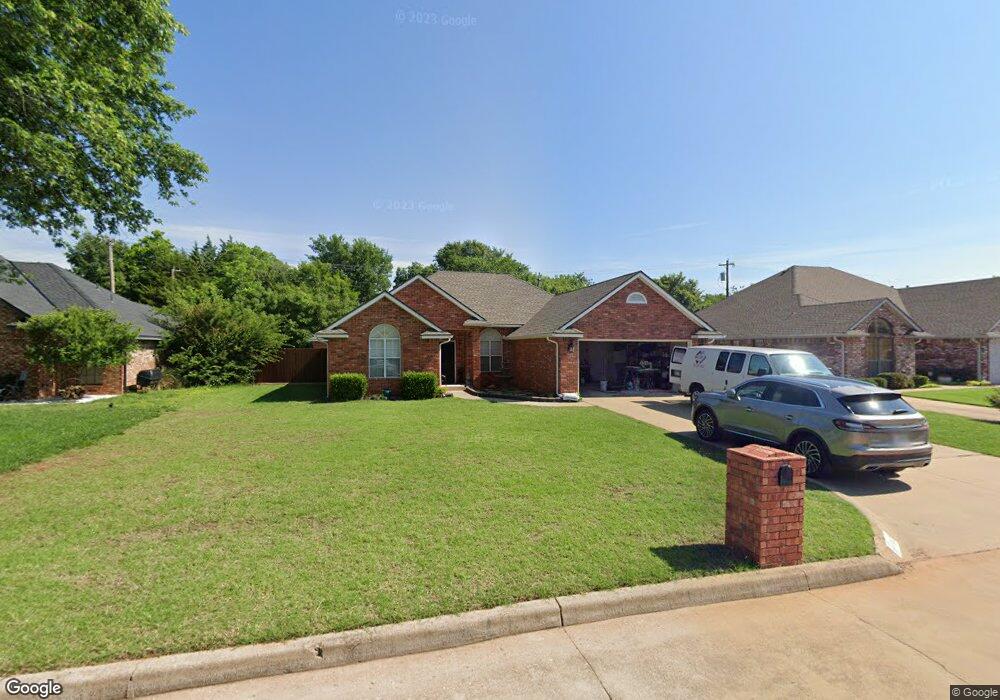
1813 Windsor Dr Duncan, OK 73533
Estimated Value: $198,000 - $227,000
3
Beds
2
Baths
1,698
Sq Ft
$126/Sq Ft
Est. Value
About This Home
This home is located at 1813 Windsor Dr, Duncan, OK 73533 and is currently estimated at $214,608, approximately $126 per square foot. 1813 Windsor Dr is a home located in Stephens County with nearby schools including Horace Mann Elementary School, Duncan Middle School, and Duncan High School.
Ownership History
Date
Name
Owned For
Owner Type
Purchase Details
Closed on
Mar 5, 2015
Sold by
Wilson Eddie Mac James and Wilson Hailey
Bought by
Orso David D and Orso Barbara D
Current Estimated Value
Home Financials for this Owner
Home Financials are based on the most recent Mortgage that was taken out on this home.
Original Mortgage
$60,000
Outstanding Balance
$45,785
Interest Rate
3.66%
Mortgage Type
New Conventional
Estimated Equity
$168,823
Purchase Details
Closed on
Dec 15, 2006
Sold by
Burke Timothy R and Burke Kelli D
Bought by
Wilson Eddie Mac James
Home Financials for this Owner
Home Financials are based on the most recent Mortgage that was taken out on this home.
Original Mortgage
$104,000
Interest Rate
6.27%
Mortgage Type
New Conventional
Purchase Details
Closed on
Oct 15, 1993
Sold by
Burke John R
Create a Home Valuation Report for This Property
The Home Valuation Report is an in-depth analysis detailing your home's value as well as a comparison with similar homes in the area
Purchase History
| Date | Buyer | Sale Price | Title Company |
|---|---|---|---|
| Orso David D | $215,000 | None Available | |
| Wilson Eddie Mac James | $130,000 | None Available | |
| -- | -- | -- |
Source: Public Records
Mortgage History
| Date | Status | Borrower | Loan Amount |
|---|---|---|---|
| Open | Orso David D | $60,000 | |
| Previous Owner | Wilson Eddie Mac James | $104,000 |
Source: Public Records
Tax History
| Year | Tax Paid | Tax Assessment Tax Assessment Total Assessment is a certain percentage of the fair market value that is determined by local assessors to be the total taxable value of land and additions on the property. | Land | Improvement |
|---|---|---|---|---|
| 2025 | -- | $19,135 | $1,142 | $17,993 |
| 2024 | -- | $18,036 | $1,142 | $16,894 |
| 2023 | $0 | $18,036 | $1,142 | $16,894 |
| 2022 | $0 | $17,511 | $1,142 | $16,369 |
| 2021 | $0 | $16,506 | $1,142 | $15,364 |
| 2020 | $0 | $17,330 | $1,142 | $16,188 |
| 2019 | $1,526 | $16,826 | $1,142 | $15,684 |
| 2018 | $0 | $17,998 | $1,142 | $16,856 |
| 2017 | -- | $17,744 | $1,142 | $16,602 |
| 2016 | $1,526 | $17,067 | $1,142 | $15,925 |
| 2015 | $1,526 | $15,732 | $1,141 | $14,591 |
| 2014 | $1,526 | $15,732 | $1,141 | $14,591 |
Source: Public Records
Map
Nearby Homes
- 2024 N Woodrock Dr
- 1923 Windsor Dr
- 2021 Overland Dr
- 1713 Wilshire Dr
- 1829 Terrace Dr
- 1708 Wilshire Dr
- 2318 Rockwell Dr
- 2330 Rockwell Dr
- 2345 Rockwell Dr
- 2363 Rockwell Dr
- 2346 Rockwell Dr
- 2375 Rockwell Dr
- 2387 Rockwell Dr
- 2201 W Club Rd
- 2110 W Club Rd
- 2333 Rockwell Dr
- 2360 Rockwell Dr
- 2321 Rockwell Dr
- 2310 Rockwell Dr
- NO ADDRESS W Plato Rd
- 1817 Windsor Dr
- 1809 Windsor Dr
- 1805 Windsor Dr
- 1814 Windsor Dr
- 2002 Woodrock Dr
- 2006 Woodrock Dr
- 2006 Woodrock Dr
- 1810 Windsor Dr
- 1818 Windsor Dr
- 2002 2002 Woodrock
- 1801 Windsor Dr
- 1806 Windsor Dr
- 2010 Woodrock Dr
- 1902 Windsor Dr
- 1902 1902 W Windsor Dr
- 1802 Windsor Dr
- 1709 Windsor Dr
- 2014 Woodrock Dr
- 1906 Windsor Dr
- 2014 2014 Woodrock Dr
Your Personal Tour Guide
Ask me questions while you tour the home.