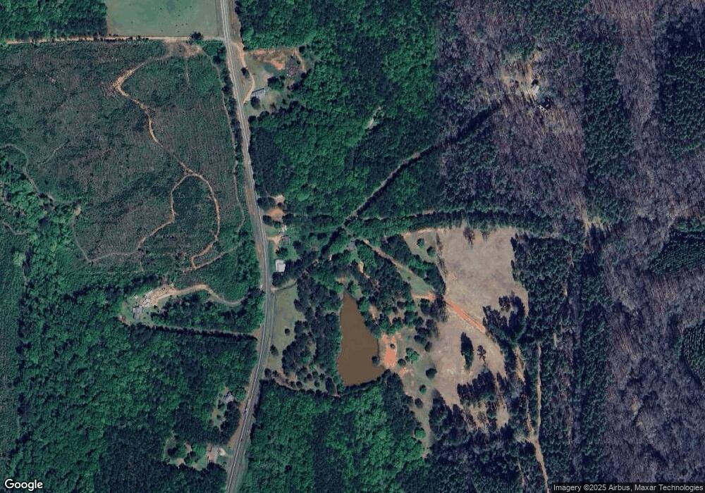
18138 Ga Highway 219 West Point, GA 31833
Estimated Value: $267,000 - $545,000
2
Beds
1
Bath
1,176
Sq Ft
$331/Sq Ft
Est. Value
About This Home
This home is located at 18138 Ga Highway 219, West Point, GA 31833 and is currently estimated at $388,890, approximately $330 per square foot. 18138 Ga Highway 219 is a home located in Harris County with nearby schools including New Mountain Hill Elementary School, Harris County Carver Middle School, and Harris County High School.
Ownership History
Date
Name
Owned For
Owner Type
Purchase Details
Closed on
Apr 13, 2025
Sold by
Lyle Newton
Bought by
Johnson Dawn S
Current Estimated Value
Purchase Details
Closed on
May 2, 2018
Sold by
Lyle Sharon
Bought by
Lyle Sharon and Lyle Bruce D
Purchase Details
Closed on
Jul 25, 2003
Sold by
Marsh Pamla
Bought by
Lyle Sharon and Lyle Newton
Purchase Details
Closed on
Jul 20, 2000
Bought by
Marsh Pamla
Create a Home Valuation Report for This Property
The Home Valuation Report is an in-depth analysis detailing your home's value as well as a comparison with similar homes in the area
Home Values in the Area
Average Home Value in this Area
Purchase History
| Date | Buyer | Sale Price | Title Company |
|---|---|---|---|
| Johnson Dawn S | -- | -- | |
| Lyle Sharon | -- | -- | |
| Lyle Sharon | $220,000 | -- | |
| Marsh Pamla | $155,000 | -- |
Source: Public Records
Tax History Compared to Growth
Tax History
| Year | Tax Paid | Tax Assessment Tax Assessment Total Assessment is a certain percentage of the fair market value that is determined by local assessors to be the total taxable value of land and additions on the property. | Land | Improvement |
|---|---|---|---|---|
| 2024 | $830 | $88,033 | $74,467 | $13,566 |
| 2023 | $824 | $88,079 | $74,467 | $13,612 |
| 2022 | $818 | $88,079 | $74,467 | $13,612 |
| 2021 | $813 | $87,210 | $74,467 | $12,743 |
| 2020 | $807 | $87,210 | $74,467 | $12,743 |
| 2019 | $777 | $87,210 | $74,467 | $12,743 |
| 2018 | $784 | $87,210 | $74,467 | $12,743 |
| 2017 | $700 | $88,095 | $75,352 | $12,743 |
| 2016 | $645 | $88,107 | $75,352 | $12,755 |
| 2015 | $640 | $88,107 | $75,352 | $12,755 |
| 2014 | $642 | $88,329 | $75,352 | $12,977 |
| 2013 | -- | $88,329 | $75,352 | $12,976 |
Source: Public Records
Map
Nearby Homes
- 0 Hopewell Church Rd Unit 10543900
- 0 Hopewell Church Rd Unit 221620
- 0 Hopewell Church Rd Unit 10543905
- 0 Hopewell Church Rd Unit 10543897
- 0 Hopewell Church Rd Unit 221622
- 1671 W Pine Lake Dr
- 8705 Georgia 18
- 8705 Ga Highway 18
- Lots 80-81 Pine Lake Dr
- 1553 Hopewell Church Rd
- 0 Shake Rag Rd Unit 23310609
- 0 Shake Rag Rd Unit TRACT 1 10492530
- 0 Shake Rag Rd Unit TRACT 2 10492533
- 0 Shake Rag Rd Unit TRACT 3 10492532
- 0 Shake Rag Rd Unit 23670261
- 0 Flat Shoals Church Rd Unit 219263
- 0 Flat Shoals Church Rd Unit 10453683
- 31 Eight Point Ct
- LOT 159 PH1 SEC Piedmont Lake Rd
- 1550 Baughs Cross Rd
- 18150 Ga Highway 219
- 18174 Ga Highway 219
- 18025 Ga Highway 219
- 18000 Ga Highway 219
- 18300 Ga Highway 219
- 0 Georgia 219
- 18808 Georgia 219
- 18660 Ga Highway 219
- 18660 Ga Highway 219
- 19147 Ga Highway 219
- 1886 Oneal Rd
- 2334 Oneal Rd
- 19120 Ga Highway 219
- 18808 Ga Highway 219
- 2164 Oneal Rd
- 2118 Oneal Rd
- 18936 Ga Highway 219
- 17510 Ga Highway 219
- 18505 Ga Highway 219
- 18505 Ga Highway 219
