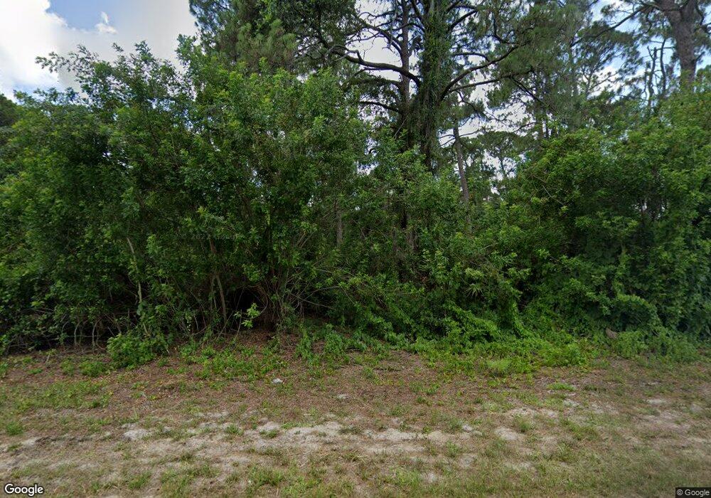
18139 Alexander (Lot 17) Ave Port Charlotte, FL 33954
Estimated Value: $18,000 - $341,000
--
Bed
--
Bath
--
Sq Ft
10,019
Sq Ft Lot
About This Home
This home is located at 18139 Alexander (Lot 17) Ave, Port Charlotte, FL 33954 and is currently estimated at $143,667. 18139 Alexander (Lot 17) Ave is a home located in Charlotte County with nearby schools including Liberty Elementary School, Murdock Middle School, and Port Charlotte High School.
Ownership History
Date
Name
Owned For
Owner Type
Purchase Details
Closed on
Jul 8, 2025
Sold by
Griffin Linda
Bought by
Mckinney Chad
Current Estimated Value
Purchase Details
Closed on
Mar 1, 2022
Sold by
Linda Griffin
Bought by
Mckinney Chad
Purchase Details
Closed on
Jan 19, 2022
Sold by
Tony Hill
Bought by
Griffin Linda
Purchase Details
Closed on
May 17, 2016
Sold by
Lee Thomas
Bought by
Hill Tony
Create a Home Valuation Report for This Property
The Home Valuation Report is an in-depth analysis detailing your home's value as well as a comparison with similar homes in the area
Home Values in the Area
Average Home Value in this Area
Purchase History
| Date | Buyer | Sale Price | Title Company |
|---|---|---|---|
| Mckinney Chad | $100 | None Listed On Document | |
| Mckinney Chad | -- | None Listed On Document | |
| Griffin Linda | $55,000 | Wideikis Benedict & Berntsson | |
| Hill Tony | $16,000 | First International Title In |
Source: Public Records
Tax History Compared to Growth
Tax History
| Year | Tax Paid | Tax Assessment Tax Assessment Total Assessment is a certain percentage of the fair market value that is determined by local assessors to be the total taxable value of land and additions on the property. | Land | Improvement |
|---|---|---|---|---|
| 2024 | $517 | $13,600 | $13,600 | -- |
| 2023 | $513 | $13,600 | $13,600 | $0 |
| 2022 | $400 | $11,050 | $11,050 | $0 |
| 2021 | $353 | $4,080 | $4,080 | $0 |
| 2020 | $341 | $3,910 | $3,910 | $0 |
| 2019 | $338 | $3,910 | $3,910 | $0 |
| 2018 | $325 | $3,400 | $3,400 | $0 |
| 2017 | $323 | $3,400 | $3,400 | $0 |
| 2016 | $312 | $2,788 | $0 | $0 |
| 2015 | $312 | $2,788 | $0 | $0 |
| 2014 | $304 | $2,768 | $0 | $0 |
Source: Public Records
Map
Nearby Homes
- 19932 Kenilworth Blvd
- 283 Gilbert St
- 19908 Kenilworth Blvd
- 325 Moody St
- 20052 Kenilworth Blvd
- 341 Moody St
- 456 Rutland Cir
- 244 Denver Dr
- 346 Rutland Cir
- 19474 Strathcona Ave
- 493 Ricold Terrace
- 467 Insull Ct
- 477 Ricold Terrace
- 598 Rutland Cir
- 19916 Kenilworth Blvd
- 20214 Kenilworth Blvd
- 20262 Kenilworth Blvd
- 20169,20177,20185,20 Kenilworth Blvd
- 20516 Kenilworth Blvd Unit 3
- 20286 Kenilworth Blvd Unit 15
- 0 Coastal St Unit A10070481
- 0 Coastal St Unit A2180242
- 17425 - 17 Brighton Ave
- 202 & 210 Evaro Dr
- 327, 335 Bamboo Dr
- 23491 & 23 Dunstan Ave
- 56 & 64 Overbrook St
- 23127 & 23 Nugent Ave
- 19092&1910 Birdcall Ave
- 18155 Alexander (Lot 15) Ave
- 18147 Alexander (Lot 16) Ave
- 18131 Alexander (Lot 18) Ave
- 22305 & 22 Tennyson Ave
- 22367 & 22 Esplanade Ave
- 18140 & 18 Vincent Ave
- 377 Zorita St
- 19972 Kenilworth Blvd
- 466 & 476 Rutland Cir
- 466 Rutland Cir
- 493 Rutland Cir
