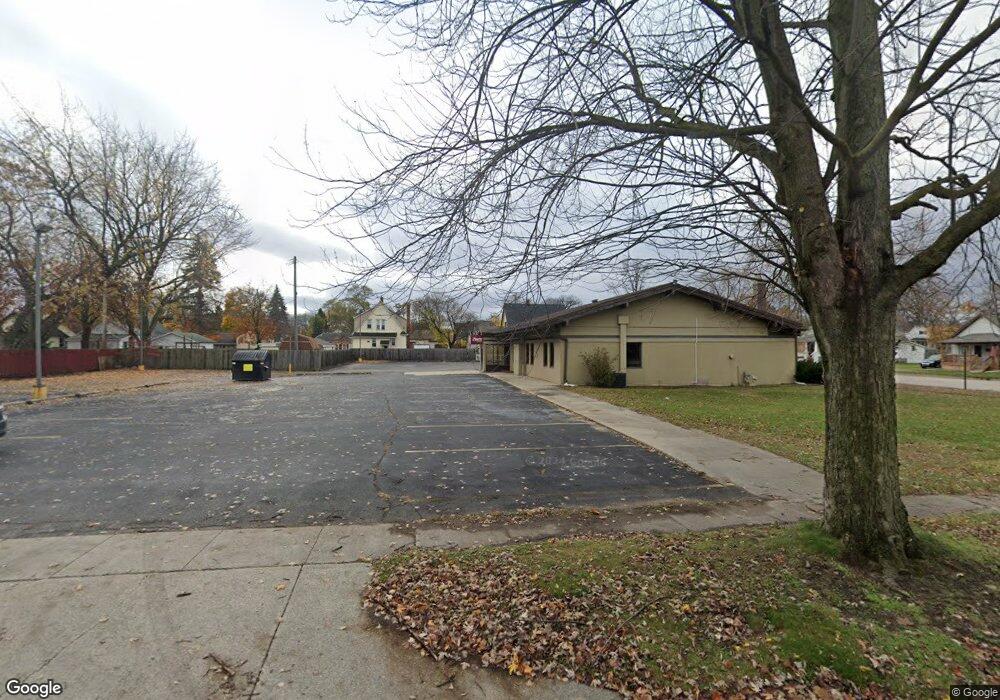
1814 10th St Port Huron, MI 48060
Estimated Value: $59,000
--
Bed
--
Bath
2,300
Sq Ft
$26/Sq Ft
Est. Value
About This Home
This home is located at 1814 10th St, Port Huron, MI 48060 and is currently priced at $59,000, approximately $25 per square foot. 1814 10th St is a home located in St. Clair County with nearby schools including Woodrow Wilson Elementary School, Central Middle School, and Port Huron High School.
Ownership History
Date
Name
Owned For
Owner Type
Purchase Details
Closed on
May 1, 2025
Sold by
Gurnsey Keith
Bought by
1814 Michigan Wellness Partners Llc
Current Estimated Value
Purchase Details
Closed on
Jul 16, 2018
Sold by
Flagship Community Federal Credit Union
Bought by
Gurnsey Keith
Create a Home Valuation Report for This Property
The Home Valuation Report is an in-depth analysis detailing your home's value as well as a comparison with similar homes in the area
Home Values in the Area
Average Home Value in this Area
Purchase History
| Date | Buyer | Sale Price | Title Company |
|---|---|---|---|
| 1814 Michigan Wellness Partners Llc | -- | Etitle Agency | |
| 1814 Michigan Wellness Partners Llc | -- | Etitle Agency | |
| Gurnsey Keith | $139,900 | None Listed On Document |
Source: Public Records
Tax History Compared to Growth
Tax History
| Year | Tax Paid | Tax Assessment Tax Assessment Total Assessment is a certain percentage of the fair market value that is determined by local assessors to be the total taxable value of land and additions on the property. | Land | Improvement |
|---|---|---|---|---|
| 2025 | $5,313 | $102,600 | $0 | $0 |
| 2024 | $5,313 | $102,600 | $0 | $0 |
| 2023 | $6,395 | $114,400 | $0 | $0 |
| 2022 | $7,185 | $114,400 | $0 | $0 |
| 2021 | $9,269 | $152,700 | $0 | $0 |
| 2020 | $9,306 | $150,300 | $46,100 | $104,200 |
| 2019 | $9,136 | $136,800 | $0 | $0 |
| 2018 | $8,300 | $136,800 | $0 | $0 |
| 2017 | $7,608 | $134,700 | $0 | $0 |
| 2016 | $6,876 | $134,700 | $0 | $0 |
| 2015 | $6,748 | $127,700 | $18,500 | $109,200 |
| 2014 | $6,748 | $125,300 | $18,500 | $106,800 |
| 2013 | -- | $125,300 | $0 | $0 |
Source: Public Records
Map
Nearby Homes
- 831 Bancroft St
- 1831 11th St
- 926 Griswold St
- 1127 Minnie St
- 1623 8th St
- 731 Bancroft St
- 738 Bancroft St
- 1132 Griswold St
- 1103 White St
- 1712 7th St
- 1309 Division St
- 730 Jenkinson St
- 1325 Division St
- 1624 15th St
- 1413 14th St
- 1100 10th St Unit 1124
- 828 Wall St
- 822 Wall St
- 1610 16th St
- 2444 Military St
- 1800 10th St
- 1800 10th St
- 1824 10th St
- 920 Division St
- 1801 10th St
- 1811 10th St
- 1807 10th St Unit 1809
- 931 Minnie St
- 1819 10th St
- 1012 Division St
- 914 Division St
- 923 Division St
- 1725 10th St Unit STEET
- 919 Division St
- 1904 10th St
- 1714 10th St
- 1011 Minnie St
- 1000 Minnie St
- 1721 10th St
- 1901 10th St