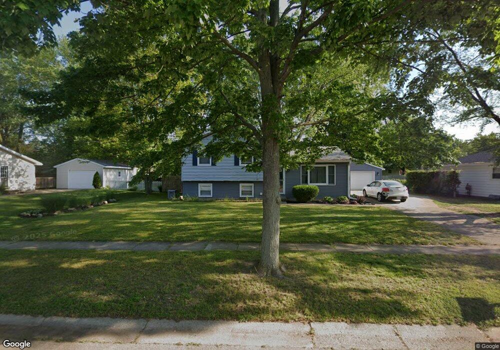
1814 Birchton Ave Portage, MI 49024
Estimated Value: $239,790 - $270,000
3
Beds
2
Baths
1,485
Sq Ft
$172/Sq Ft
Est. Value
About This Home
This home is located at 1814 Birchton Ave, Portage, MI 49024 and is currently estimated at $254,948, approximately $171 per square foot. 1814 Birchton Ave is a home located in Kalamazoo County with nearby schools including Woodland Elementary School, Portage Central Middle School, and Portage Central High School.
Ownership History
Date
Name
Owned For
Owner Type
Purchase Details
Closed on
Jul 5, 2013
Sold by
Mccartney Patti L and Myers Patti L
Bought by
Mccartney Patti L and Ludvig Gy
Current Estimated Value
Home Financials for this Owner
Home Financials are based on the most recent Mortgage that was taken out on this home.
Original Mortgage
$84,000
Interest Rate
3.83%
Mortgage Type
New Conventional
Create a Home Valuation Report for This Property
The Home Valuation Report is an in-depth analysis detailing your home's value as well as a comparison with similar homes in the area
Home Values in the Area
Average Home Value in this Area
Purchase History
| Date | Buyer | Sale Price | Title Company |
|---|---|---|---|
| Mccartney Patti L | -- | Chicago Title Company |
Source: Public Records
Mortgage History
| Date | Status | Borrower | Loan Amount |
|---|---|---|---|
| Closed | Mccartney Patti L | $84,000 |
Source: Public Records
Tax History Compared to Growth
Tax History
| Year | Tax Paid | Tax Assessment Tax Assessment Total Assessment is a certain percentage of the fair market value that is determined by local assessors to be the total taxable value of land and additions on the property. | Land | Improvement |
|---|---|---|---|---|
| 2025 | $3,921 | $92,200 | $0 | $0 |
| 2024 | $3,584 | $91,200 | $0 | $0 |
| 2023 | $3,415 | $81,300 | $0 | $0 |
| 2022 | $3,556 | $73,500 | $0 | $0 |
| 2021 | $3,438 | $69,300 | $0 | $0 |
| 2020 | $2,417 | $64,400 | $0 | $0 |
| 2019 | $218 | $59,600 | $0 | $0 |
| 2018 | $0 | $57,700 | $0 | $0 |
| 2017 | $0 | $57,900 | $0 | $0 |
| 2016 | -- | $55,200 | $0 | $0 |
| 2015 | -- | $51,300 | $0 | $0 |
| 2014 | -- | $49,100 | $0 | $0 |
Source: Public Records
Map
Nearby Homes
- 7337 Starbrook St
- 7403 Rockford St
- 1828 Woodland Dr
- 1531 Redstock Ave
- 7784 Primrose Ln
- 7160 Crown Pointe Cir
- 1318 Ashton Woods Ct
- 1710 Greenview Ave
- 6827 Marlow St
- 6803 Fescue St
- 6803 Bluegrass St
- 6745 Oakland Dr
- 1010 Romence Rd
- 2604 Radcliffe Ave
- 7639 Dunross Dr
- 6748 Trotwood St
- 2076 Lion Gate Dr
- 1902 W Centre Ave
- 2600 W Centre Ave Unit +/- 1 Acre
- 2351 W Centre Ave
- 1822 Birchton Ave
- 1804 Birchton Ave
- 1801 Colchester Ave
- 1823 Colchester Ave
- 1728 Birchton Ave
- 1817 Birchton Ave
- 1809 Birchton Ave
- 7323 Starbrook St
- 1727 Colchester Ave
- 1823 Birchton Ave
- 1801 Birchton Ave
- 7401 Starbrook St
- 1725 Birchton Ave
- 1720 Birchton Ave
- 1719 Colchester Ave
- 1818 Colchester Ave
- 1810 Colchester Ave
- 1719 Birchton Ave
- 1307 Starbrook St
- 1806 Redstock Ave