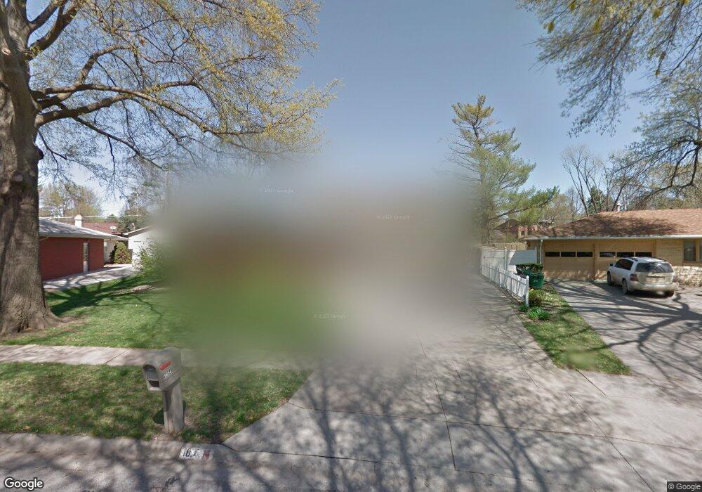
1814 Morningside Dr Lincoln, NE 68506
Central Lincoln NeighborhoodEstimated Value: $276,509 - $289,000
3
Beds
4
Baths
1,267
Sq Ft
$222/Sq Ft
Est. Value
About This Home
This home is located at 1814 Morningside Dr, Lincoln, NE 68506 and is currently estimated at $281,877, approximately $222 per square foot. 1814 Morningside Dr is a home located in Lancaster County with nearby schools including Morley Elementary School, Lux Middle School, and Lincoln East High School.
Ownership History
Date
Name
Owned For
Owner Type
Purchase Details
Closed on
Feb 9, 2023
Sold by
Bahm Jan J and Bahm Kirk D
Bought by
Bahm Kirk D
Current Estimated Value
Purchase Details
Closed on
Apr 17, 2008
Sold by
Bahm Kirk D and Bahm Jan J
Bought by
Bahm Kirk D
Home Financials for this Owner
Home Financials are based on the most recent Mortgage that was taken out on this home.
Original Mortgage
$156,310
Interest Rate
6.08%
Mortgage Type
New Conventional
Create a Home Valuation Report for This Property
The Home Valuation Report is an in-depth analysis detailing your home's value as well as a comparison with similar homes in the area
Home Values in the Area
Average Home Value in this Area
Purchase History
| Date | Buyer | Sale Price | Title Company |
|---|---|---|---|
| Bahm Kirk D | -- | -- | |
| Bahm Kirk D | -- | None Available |
Source: Public Records
Mortgage History
| Date | Status | Borrower | Loan Amount |
|---|---|---|---|
| Previous Owner | Bahm Kirk D | $156,310 |
Source: Public Records
Tax History Compared to Growth
Tax History
| Year | Tax Paid | Tax Assessment Tax Assessment Total Assessment is a certain percentage of the fair market value that is determined by local assessors to be the total taxable value of land and additions on the property. | Land | Improvement |
|---|---|---|---|---|
| 2025 | $3,545 | $253,100 | $60,000 | $193,100 |
| 2024 | $3,545 | $253,500 | $50,000 | $203,500 |
| 2023 | $3,986 | $237,800 | $50,000 | $187,800 |
| 2022 | $3,327 | $176,800 | $40,000 | $136,800 |
| 2021 | $3,334 | $176,800 | $40,000 | $136,800 |
| 2020 | $3,277 | $171,500 | $40,000 | $131,500 |
| 2019 | $3,277 | $171,500 | $40,000 | $131,500 |
| 2018 | $2,808 | $146,300 | $40,000 | $106,300 |
| 2017 | $2,834 | $146,300 | $40,000 | $106,300 |
| 2016 | $2,520 | $129,400 | $35,000 | $94,400 |
| 2015 | $2,502 | $129,400 | $35,000 | $94,400 |
| 2014 | $2,453 | $126,100 | $35,000 | $91,100 |
| 2013 | -- | $126,100 | $35,000 | $91,100 |
Source: Public Records
Map
Nearby Homes
- 1731 E Manor Dr
- 6220 Sumner St
- 1920 Riviera Dr
- 2001 Morningside Dr
- 6123 A St
- 1830 E Bermuda Dr
- 6341 Rainier Dr
- 1850 E Bermuda Dr
- 6301 Newton St
- 1521 Kingston Rd
- 6545 Flint Ridge Place
- 1401 S 58th St
- 1900 Lori Ln
- 7101 South St Unit 1
- 2036 Greenbriar Ln
- 5505 Sumner St
- 7100 Lincolnshire Rd
- 1210 Eastridge Dr
- 6607 Shenandoah Ct
- 6211 Sunrise Rd
- 1818 Morningside Dr
- 1808 Morningside Dr
- 6321 Sumner St
- 6401 Sumner St
- 6315 Sumner St
- 1822 Morningside Dr
- 1730 E Manor Dr
- 1828 Morningside Dr
- 1817 Morningside Dr
- 1809 Morningside Dr
- 6301 Sumner St
- 1825 Twin Ridge Rd
- 6421 Sumner St
- 1740 E Manor Dr
- 6310 Sumner St
- 1832 Morningside Dr
- 6400 Sumner St
- 6300 Sumner St
- 1841 Twin Ridge Rd
- 6420 Sumner St