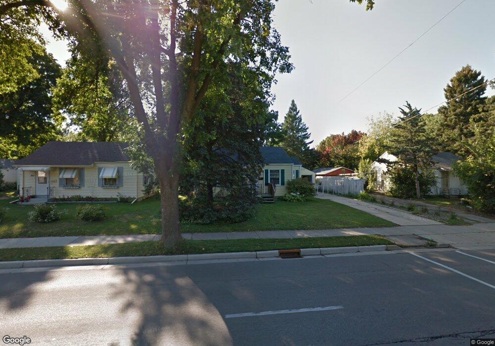
1814 N Sherman Ave Madison, WI 53704
Brentwood Village NeighborhoodEstimated Value: $269,461 - $336,000
2
Beds
1
Bath
760
Sq Ft
$392/Sq Ft
Est. Value
About This Home
This home is located at 1814 N Sherman Ave, Madison, WI 53704 and is currently estimated at $297,615, approximately $391 per square foot. 1814 N Sherman Ave is a home located in Dane County with nearby schools including Emerson Elementary School, Sherman Middle School, and East High School.
Ownership History
Date
Name
Owned For
Owner Type
Purchase Details
Closed on
Sep 7, 2007
Sold by
Sprague John R
Bought by
Mason David J
Current Estimated Value
Home Financials for this Owner
Home Financials are based on the most recent Mortgage that was taken out on this home.
Original Mortgage
$132,717
Outstanding Balance
$84,628
Interest Rate
6.71%
Mortgage Type
FHA
Estimated Equity
$212,987
Create a Home Valuation Report for This Property
The Home Valuation Report is an in-depth analysis detailing your home's value as well as a comparison with similar homes in the area
Home Values in the Area
Average Home Value in this Area
Purchase History
| Date | Buyer | Sale Price | Title Company |
|---|---|---|---|
| Mason David J | $134,800 | None Available |
Source: Public Records
Mortgage History
| Date | Status | Borrower | Loan Amount |
|---|---|---|---|
| Open | Mason David J | $132,717 |
Source: Public Records
Tax History Compared to Growth
Tax History
| Year | Tax Paid | Tax Assessment Tax Assessment Total Assessment is a certain percentage of the fair market value that is determined by local assessors to be the total taxable value of land and additions on the property. | Land | Improvement |
|---|---|---|---|---|
| 2024 | $7,290 | $225,800 | $69,600 | $156,200 |
| 2023 | $3,514 | $215,000 | $66,300 | $148,700 |
| 2021 | $3,300 | $171,600 | $52,900 | $118,700 |
| 2020 | $3,506 | $168,200 | $51,900 | $116,300 |
| 2019 | $3,215 | $155,700 | $49,900 | $105,800 |
| 2018 | $3,047 | $144,200 | $49,900 | $94,300 |
| 2017 | $3,539 | $131,100 | $45,400 | $85,700 |
| 2016 | $3,341 | $123,700 | $45,400 | $78,300 |
| 2015 | $2,567 | $114,500 | $42,000 | $72,500 |
| 2014 | $2,565 | $114,500 | $42,000 | $72,500 |
| 2013 | $3,193 | $114,500 | $42,000 | $72,500 |
Source: Public Records
Map
Nearby Homes
- 1437 Fremont Ave
- 1838 Spohn Ave
- 1842 Spohn Ave
- 1942 Northwestern Ave
- 1937 Northwestern Ave
- 1941 Northwestern Ave
- 1802 Loftsgordon Ave
- 805 Kings Way
- 2902 Dryden Dr
- 238 Kensington Dr
- 623 Summit Rd
- 401 East Bluff
- 514 East Bluff
- 151 Lakewood Blvd
- 1338 Forster Dr
- 525 Waxwing Ln Unit 525
- 547 Waxwing Ln Unit 547
- 495 Blackbird Ln Unit 495
- 242 Bunting Ln Unit 242
- 237 Bunting Ln Unit 237
- 1902 N Sherman Ave
- 1810 N Sherman Ave
- 1906 N Sherman Ave
- 1806 N Sherman Ave
- 1813 Fremont Ave
- 1809 Fremont Ave
- 1905 Fremont Ave
- 1805 Fremont Ave
- 1910 N Sherman Ave
- 1802 N Sherman Ave
- 1909 Fremont Ave
- 1901 N Sherman Ave
- 1701 Heath Ave
- 0 Fremont Cir
- 1905 N Sherman Ave
- 1602 Macpherson St
- 1817 N Sherman Ave
- 1911 N Sherman Ave Unit 1
- 1911 N Sherman Ave Unit 24
- 1911 N Sherman Ave