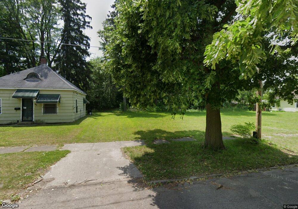
1814 New York Ave Flint, MI 48506
Eastside NeighborhoodEstimated Value: $106,000 - $215,000
2
Beds
1
Bath
1,000
Sq Ft
$160/Sq Ft
Est. Value
About This Home
This home is located at 1814 New York Ave, Flint, MI 48506 and is currently estimated at $160,500, approximately $160 per square foot. 1814 New York Ave is a home located in Genesee County with nearby schools including Potter School, Flint Cultural Center Academy, and Richfield Public School Academy.
Ownership History
Date
Name
Owned For
Owner Type
Purchase Details
Closed on
Dec 20, 2012
Sold by
Cherry Deborah L and Genesee County Treasurer
Bought by
Genesee County Land Bank
Current Estimated Value
Purchase Details
Closed on
Apr 7, 2006
Sold by
Grades Robert A and Grades Pauline
Bought by
Mitchell Michael
Purchase Details
Closed on
Jun 7, 2001
Sold by
Liberty Svgs Bank Fsb
Bought by
Grades Robert A and Grades Pauline
Purchase Details
Closed on
Nov 10, 2000
Sold by
Layman W
Bought by
Liberty Svgs Bank Fsb
Create a Home Valuation Report for This Property
The Home Valuation Report is an in-depth analysis detailing your home's value as well as a comparison with similar homes in the area
Home Values in the Area
Average Home Value in this Area
Purchase History
| Date | Buyer | Sale Price | Title Company |
|---|---|---|---|
| Genesee County Land Bank | -- | None Available | |
| Mitchell Michael | $5,000 | Colonial | |
| Grades Robert A | $5,900 | First American Title Ins Co | |
| Liberty Svgs Bank Fsb | -- | Sargents Title Company |
Source: Public Records
Tax History Compared to Growth
Tax History
| Year | Tax Paid | Tax Assessment Tax Assessment Total Assessment is a certain percentage of the fair market value that is determined by local assessors to be the total taxable value of land and additions on the property. | Land | Improvement |
|---|---|---|---|---|
| 2025 | -- | $0 | $0 | $0 |
| 2024 | -- | $0 | $0 | $0 |
| 2023 | -- | $0 | $0 | $0 |
| 2022 | $0 | $0 | $0 | $0 |
| 2021 | $0 | $0 | $0 | $0 |
| 2020 | $0 | $0 | $0 | $0 |
| 2019 | $0 | $0 | $0 | $0 |
| 2018 | $0 | $0 | $0 | $0 |
| 2017 | $0 | $0 | $0 | $0 |
| 2016 | $0 | $0 | $0 | $0 |
| 2015 | -- | $0 | $0 | $0 |
| 2014 | -- | $0 | $0 | $0 |
| 2012 | -- | $3,500 | $0 | $0 |
Source: Public Records
Map
Nearby Homes
- 1721 New York Ave
- 2506 Arlington Ave
- 1629 New York Ave
- 1622 New York Ave
- 1814 Mabel Ave
- 2225 Arlington Ave
- 1805 Bennett Ave
- 1733 Oklahoma Ave
- 1805 Montana Ave
- 1513 Jane Ave
- 1454 Delaware Ave
- 1449 New York Ave
- 1623 Montana Ave
- 1518 Leith St
- 1445 Maryland Ave
- 1526 Montana Ave
- 2426 Hoff St
- 1529 Broadway Blvd
- 2211 Torrance St
- 1622 Arlington Ave
- 1810 New York Ave
- 1818 New York Ave
- 1822 New York Ave
- 1802 New York Ave
- 1819 Belle Ave
- 1736 New York Ave
- 1821 Belle Ave
- 1813 New York Ave
- 1809 New York Ave
- 1817 New York Ave
- 1821 New York Ave
- 1805 New York Ave
- 2601 N Franklin Ave
- 1801 New York Ave
- 1729 Belle Ave
- 1733 New York Ave
- 1730 New York Ave
- 1726 New York Ave
- 1729 New York Ave
- 1814 Delaware Ave