1814 Platt Blvd Myrtle Beach, SC 29575
Estimated Value: $366,000 - $440,000
4
Beds
4
Baths
2,409
Sq Ft
$162/Sq Ft
Est. Value
About This Home
This home is located at 1814 Platt Blvd, Myrtle Beach, SC 29575 and is currently estimated at $390,072, approximately $161 per square foot. 1814 Platt Blvd is a home located in Horry County with nearby schools including Lakewood Elementary, Socastee Middle, and Socastee High School.
Ownership History
Date
Name
Owned For
Owner Type
Purchase Details
Closed on
Apr 30, 2003
Sold by
Carolina Home Opportunities Inc
Bought by
Brown Pamela T
Current Estimated Value
Purchase Details
Closed on
Feb 24, 1999
Sold by
Moyal Yair and Moyal Darleen M
Bought by
Brown Douglas W and Brown Pamela T
Home Financials for this Owner
Home Financials are based on the most recent Mortgage that was taken out on this home.
Original Mortgage
$108,000
Interest Rate
6.73%
Mortgage Type
Purchase Money Mortgage
Create a Home Valuation Report for This Property
The Home Valuation Report is an in-depth analysis detailing your home's value as well as a comparison with similar homes in the area
Home Values in the Area
Average Home Value in this Area
Purchase History
| Date | Buyer | Sale Price | Title Company |
|---|---|---|---|
| Brown Pamela T | $55,400 | -- | |
| Brown Douglas W | $135,000 | -- |
Source: Public Records
Mortgage History
| Date | Status | Borrower | Loan Amount |
|---|---|---|---|
| Previous Owner | Brown Douglas W | $108,000 |
Source: Public Records
Tax History Compared to Growth
Tax History
| Year | Tax Paid | Tax Assessment Tax Assessment Total Assessment is a certain percentage of the fair market value that is determined by local assessors to be the total taxable value of land and additions on the property. | Land | Improvement |
|---|---|---|---|---|
| 2024 | $862 | $12,290 | $5,750 | $6,540 |
| 2023 | $862 | $7,312 | $1,800 | $5,512 |
| 2021 | $781 | $8,880 | $1,800 | $7,080 |
| 2020 | $680 | $8,880 | $1,800 | $7,080 |
| 2019 | $680 | $8,880 | $1,800 | $7,080 |
| 2018 | $614 | $6,358 | $1,710 | $4,648 |
| 2017 | $599 | $6,358 | $1,710 | $4,648 |
| 2016 | -- | $6,358 | $1,710 | $4,648 |
| 2015 | $599 | $6,358 | $1,710 | $4,648 |
| 2014 | $553 | $6,358 | $1,710 | $4,648 |
Source: Public Records
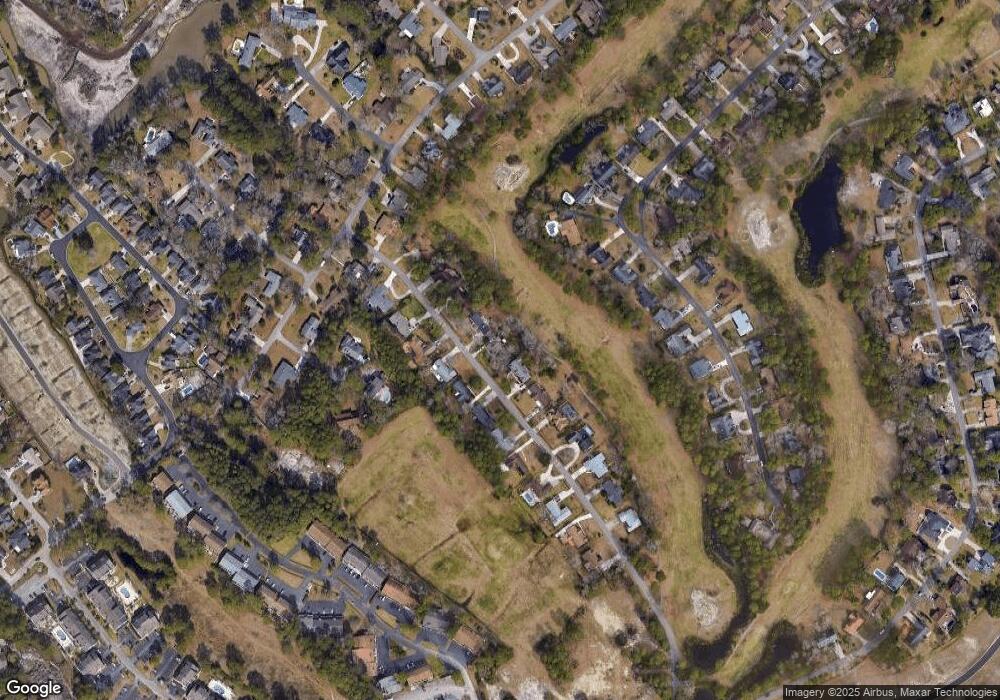
Map
Nearby Homes
- 2180 Pettus Way Unit BOC 21
- 1430 Bay Tree Ln
- 2172 Pettus Way Unit BOC 19
- 1840 Fairway Ridge Dr Unit 8F
- 2220 Pettus Way Unit BOC 29
- 2176 Pettus Way Unit BOC 20
- 2184 Pettus Way Unit BOC 22
- 1851 Fairway Ridge Dr Unit 7E
- 1890 Colony Dr Unit 17L
- 1890 Colony Dr Unit 18-C
- 1880 Colony Dr Unit 11-R
- 1890 Colony Dr Unit 16-D
- 1850 Colony Dr Unit 3-D
- 1850 Colony Dr Unit 2S
- 1881 Colony Dr Unit 7G
- 1881 Colony Dr Unit 8-S
- 1881 Colony Dr Unit 7D
- 200 Double Eagle Dr Unit D-2
- 1891 Colony Dr Unit 15E
- 1891 Colony Dr Unit 13D
- 1824 Platt Blvd
- 1806 Platt Blvd
- 1813 Platt Blvd
- 1800 Platt Blvd
- 1832 Platt Blvd
- 1823 Platt Blvd
- 1805 Platt Blvd
- 1831 Platt Blvd Unit Deerfield
- 1831 Platt Blvd
- 1790 Platt Blvd
- 1840 Platt Blvd
- 1799 Platt Blvd
- 1839 Platt Blvd
- 1791 Platt Blvd Unit Deerfield Lot 138
- 1782 Platt Blvd
- 1851 Platt Blvd
- 1850 Platt Blvd
- 1874 Loon Ct Unit SB
- 1462 Bay Tree Ln Unit MB
- 1466 Bay Tree Ln