1814 Wildcat Trace Cir Lawrenceville, GA 30043
Estimated Value: $357,000 - $399,000
4
Beds
3
Baths
2,218
Sq Ft
$174/Sq Ft
Est. Value
About This Home
This home is located at 1814 Wildcat Trace Cir, Lawrenceville, GA 30043 and is currently estimated at $386,408, approximately $174 per square foot. 1814 Wildcat Trace Cir is a home located in Gwinnett County with nearby schools including Taylor Elementary School, Creekland Middle School, and Collins Hill High School.
Ownership History
Date
Name
Owned For
Owner Type
Purchase Details
Closed on
Oct 9, 2022
Sold by
Patel Jitendra Bhikhalal
Bought by
Patel Jitendra Bhikhalal and Patel Binisha
Current Estimated Value
Purchase Details
Closed on
Sep 8, 2009
Sold by
Krisha 2005 Llc
Bought by
Patel Jitendra B
Purchase Details
Closed on
Sep 2, 2009
Sold by
4P International Inc
Bought by
Krisha 2005 Llc
Purchase Details
Closed on
Sep 1, 2009
Sold by
Fablan Maximiliano H
Bought by
4P International Inc
Purchase Details
Closed on
Aug 17, 2004
Sold by
Whitehall Builders Llc
Bought by
Fablan Maximiliano H
Home Financials for this Owner
Home Financials are based on the most recent Mortgage that was taken out on this home.
Original Mortgage
$178,400
Interest Rate
6.01%
Mortgage Type
New Conventional
Create a Home Valuation Report for This Property
The Home Valuation Report is an in-depth analysis detailing your home's value as well as a comparison with similar homes in the area
Home Values in the Area
Average Home Value in this Area
Purchase History
| Date | Buyer | Sale Price | Title Company |
|---|---|---|---|
| Patel Jitendra Bhikhalal | -- | -- | |
| Patel Jitendra B | $155,000 | -- | |
| Krisha 2005 Llc | -- | -- | |
| 4P International Inc | $110,200 | -- | |
| Fablan Maximiliano H | $178,400 | -- |
Source: Public Records
Mortgage History
| Date | Status | Borrower | Loan Amount |
|---|---|---|---|
| Previous Owner | Fablan Maximiliano H | $178,400 |
Source: Public Records
Tax History Compared to Growth
Tax History
| Year | Tax Paid | Tax Assessment Tax Assessment Total Assessment is a certain percentage of the fair market value that is determined by local assessors to be the total taxable value of land and additions on the property. | Land | Improvement |
|---|---|---|---|---|
| 2025 | -- | $170,760 | $26,320 | $144,440 |
| 2024 | -- | $155,080 | $28,000 | $127,080 |
| 2023 | $2,107 | $155,080 | $28,000 | $127,080 |
| 2022 | $4,211 | $143,080 | $28,000 | $115,080 |
| 2021 | $3,204 | $92,240 | $17,720 | $74,520 |
| 2020 | $3,224 | $92,240 | $17,720 | $74,520 |
| 2019 | $2,824 | $92,240 | $17,720 | $74,520 |
| 2018 | $3,126 | $92,240 | $17,720 | $74,520 |
| 2016 | $2,541 | $69,720 | $10,800 | $58,920 |
| 2015 | $2,567 | $69,720 | $10,800 | $58,920 |
| 2014 | -- | $48,000 | $11,200 | $36,800 |
Source: Public Records
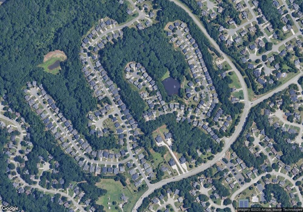
Map
Nearby Homes
- 2061 Wildcat Cliffs Ln
- 2140 Wildcat Cliffs Way
- 275 Rose Ivy Ct
- 1909 McLennon Ct
- 665 Rosedown Way
- 205 Camden Creek Ct
- 2205 Parliament Dr
- 1838 Prince Dr
- 1885 Spring Rose Glen
- 1839 Stonebrook Way
- 2155 Parliament Dr
- 525 Provence Gate Ln
- 2050 Fortuna St
- 2276 & 2286 Lake Ridge Terrace
- 2276 & Lake Ridge Terrace
- 1707 Tidewell Trace
- 48 Russell Rd
- 1795 Laurel Creek Dr
- 307 Creek Front Way Unit 2
- 2402 Malster Ln
- 1824 Wildcat Trace Cir
- 220 Wildcat Lake Dr
- 210 Wildcat Lake Dr
- 200 Wildcat Lake Dr
- 1815 Wildcat Trace Cir
- 1825 Wildcat Trace Cir
- 1840 Wildcat Trace Cir
- 240 Wildcat Lake Dr
- 1835 Wildcat Trace Cir
- 1845 Wildcat Trace Cir
- 250 Wildcat Lake Dr
- 2015 Wildcat Cliffs Way
- 1860 Wildcat Trace Cir
- 2005 Wildcat Cliffs Way
- 1855 Wildcat Trace Cir
- 2025 Wildcat Cliffs Way
- 1995 Wildcat Cliffs Way
- 1995 Wildcat Cliffs Way Unit 10
- 260 Wildcat Lake Dr
- 2035 Wildcat Cliffs Way Unit 1