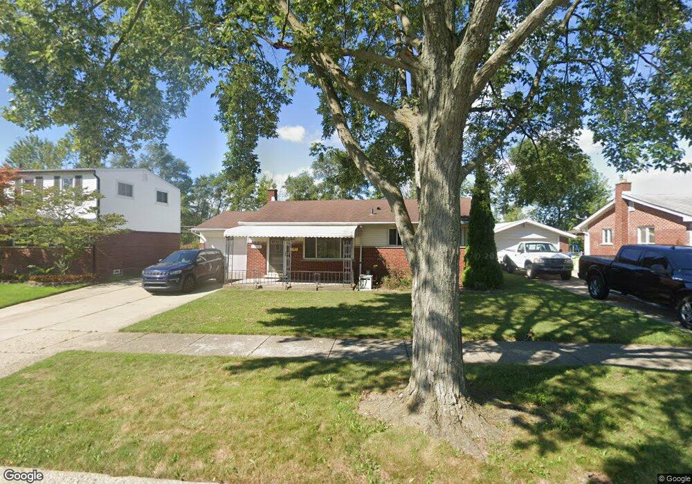
18142 Davidson Fraser, MI 48026
Estimated Value: $205,128 - $232,000
3
Beds
2
Baths
874
Sq Ft
$251/Sq Ft
Est. Value
About This Home
This home is located at 18142 Davidson, Fraser, MI 48026 and is currently estimated at $219,032, approximately $250 per square foot. 18142 Davidson is a home located in Macomb County with nearby schools including Eisenhower Elementary School, Richards Middle School, and Fraser High School.
Ownership History
Date
Name
Owned For
Owner Type
Purchase Details
Closed on
Mar 31, 2006
Sold by
Soli David and Rogalski Shelley
Bought by
Lintz Pamela M
Current Estimated Value
Purchase Details
Closed on
Nov 14, 2003
Sold by
Cain Richard L and Cain Michele A
Bought by
Soli David J
Home Financials for this Owner
Home Financials are based on the most recent Mortgage that was taken out on this home.
Original Mortgage
$29,400
Interest Rate
6.07%
Mortgage Type
Credit Line Revolving
Create a Home Valuation Report for This Property
The Home Valuation Report is an in-depth analysis detailing your home's value as well as a comparison with similar homes in the area
Home Values in the Area
Average Home Value in this Area
Purchase History
| Date | Buyer | Sale Price | Title Company |
|---|---|---|---|
| Lintz Pamela M | $157,000 | Metropolitan Title Company | |
| Soli David J | $147,000 | Lawyers Title Insurance Co |
Source: Public Records
Mortgage History
| Date | Status | Borrower | Loan Amount |
|---|---|---|---|
| Previous Owner | Soli David J | $29,400 | |
| Previous Owner | Soli David J | $117,600 |
Source: Public Records
Tax History
| Year | Tax Paid | Tax Assessment Tax Assessment Total Assessment is a certain percentage of the fair market value that is determined by local assessors to be the total taxable value of land and additions on the property. | Land | Improvement |
|---|---|---|---|---|
| 2025 | $2,281 | $91,900 | $0 | $0 |
| 2024 | $22 | $85,000 | $0 | $0 |
| 2023 | $2,132 | $79,200 | $0 | $0 |
| 2022 | $2,097 | $68,600 | $0 | $0 |
| 2021 | $2,074 | $65,500 | $0 | $0 |
| 2020 | $2,000 | $63,200 | $0 | $0 |
| 2019 | $1,896 | $60,100 | $0 | $0 |
| 2018 | $2,313 | $60,200 | $0 | $0 |
| 2017 | $1,986 | $51,496 | $13,779 | $37,717 |
| 2016 | $1,896 | $51,496 | $0 | $0 |
| 2015 | -- | $43,463 | $0 | $0 |
| 2013 | $1,611 | $37,203 | $0 | $0 |
| 2011 | -- | $41,462 | $16,136 | $25,326 |
Source: Public Records
Map
Nearby Homes
- 18053 Airport
- 17689 Masonic
- 32653 Beacon Ln
- 31805 Kelly Rd Unit 25
- 31844 Kelly Rd Unit 4
- 31842 Kelly Rd
- 31461 Merrily St
- 18260 Spring Ct N
- 17949 S Wind Dr
- 31896 Cristina Dr
- 18754 E 14 Mile Rd Unit 22
- 18754 E 14 Mile Rd Unit 2
- 18259 Spring Ct S
- 32600 Haggerty Dr
- 17970 S Wind Dr
- 19295 Brandt St
- 18327 E 13 Mile Rd
- 19375 Mcgill St
- 30905 Normal St
- 32806 Harmon Ct
Your Personal Tour Guide
Ask me questions while you tour the home.