18142 Ga Highway 129 Macon, GA 31217
Estimated Value: $139,000 - $246,051
3
Beds
1
Bath
1,296
Sq Ft
$140/Sq Ft
Est. Value
About This Home
This home is located at 18142 Ga Highway 129, Macon, GA 31217 and is currently estimated at $181,013, approximately $139 per square foot. 18142 Ga Highway 129 is a home located in Twiggs County with nearby schools including Jeffersonville Elementary School, Twiggs Middle School, and Twiggs County High School.
Ownership History
Date
Name
Owned For
Owner Type
Purchase Details
Closed on
Sep 17, 2012
Sold by
Donaldson Loette C
Bought by
Depoy Loette C Donaldson
Current Estimated Value
Purchase Details
Closed on
Sep 16, 2010
Sold by
Donaldson James S
Bought by
Donaldson Loette C
Purchase Details
Closed on
Aug 31, 1981
Bought by
Donaldson James S
Create a Home Valuation Report for This Property
The Home Valuation Report is an in-depth analysis detailing your home's value as well as a comparison with similar homes in the area
Home Values in the Area
Average Home Value in this Area
Purchase History
| Date | Buyer | Sale Price | Title Company |
|---|---|---|---|
| Depoy Loette C Donaldson | -- | -- | |
| Donaldson Loette C | -- | -- | |
| Donaldson James S | $8,200 | -- |
Source: Public Records
Tax History Compared to Growth
Tax History
| Year | Tax Paid | Tax Assessment Tax Assessment Total Assessment is a certain percentage of the fair market value that is determined by local assessors to be the total taxable value of land and additions on the property. | Land | Improvement |
|---|---|---|---|---|
| 2024 | $582 | $59,429 | $25,987 | $33,442 |
| 2023 | $575 | $59,429 | $25,987 | $33,442 |
| 2022 | $2,150 | $59,429 | $25,987 | $33,442 |
| 2021 | $2,151 | $59,429 | $25,987 | $33,442 |
| 2020 | $2,151 | $59,430 | $25,988 | $33,442 |
| 2019 | $2,681 | $74,056 | $40,614 | $33,442 |
| 2018 | $2,459 | $74,056 | $40,614 | $33,442 |
| 2017 | $2,463 | $74,176 | $40,614 | $33,562 |
| 2016 | $0 | $78,050 | $40,614 | $37,436 |
| 2015 | -- | $78,050 | $40,614 | $37,436 |
| 2014 | -- | $78,050 | $40,614 | $37,436 |
| 2013 | -- | $80,803 | $40,614 | $40,189 |
Source: Public Records
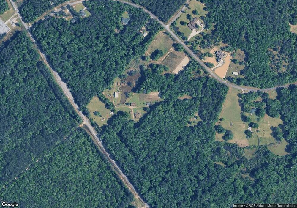
Map
Nearby Homes
- 1108 Horseshoe Cir
- 988 Horseshoe Cir
- 456 Horseshoe Cir
- 83 Troon Dr
- 6051 Marion Rd
- 5860 Ocmulgee Blvd E
- 5570 Marion Rd
- 5590 Marion Rd
- 5600 Marion Rd
- 5580 Marion Rd
- 200 Oneal Dr
- 120 Oneal Dr
- 312 Buckskin Dr
- 326 Stockton Cir
- 120 Abberley Ln
- 117 Abberley Ln
- 301 Stockton Cir
- Plan 2700 at The Abberley
- Plan 2604 at The Abberley
- 1850 Barnes Ferry Rd
- 148 Hollyoak Cir
- 148 Hollyoak Cir
- 180 Hollyoak Cir
- 180 Holly Oak Cir
- 0 Holly Oak Cir
- 451 Alfred Bond Dr
- 230 Alfred Bond Dr
- 371 Alfred Bond Dr
- 491 Alfred Bond Dr Unit 13B
- 491 Alfred Bond Dr Unit 13A
- 532 Alfred Bond Dr
- 94 Alfred Bond Dr
- 14 Hollyoak Cir
- 17898 Ga Highway 129
- 17916 Ga Highway 129
- 0 Alfred Bond Dr Unit 12B
- 0 Alfred Bond Dr Unit 12B 3091440
- 0 Alfred Bond Dr Unit 13A 3091822
- 0 Alfred Bond Dr Unit 13B 3091647
- 0 Alfred Bond Dr Unit 13C 3093196