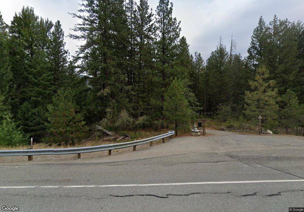
18147 State Route 20 Winthrop, WA 98862
Estimated Value: $547,000 - $1,139,000
1
Bed
3
Baths
512
Sq Ft
$1,506/Sq Ft
Est. Value
About This Home
This home is located at 18147 State Route 20, Winthrop, WA 98862 and is currently estimated at $771,102, approximately $1,506 per square foot. 18147 State Route 20 is a home located in Okanogan County with nearby schools including Methow Valley Elementary School, Liberty Bell Junior/Senior High School, and Methow Valley Independent Learning Center.
Ownership History
Date
Name
Owned For
Owner Type
Purchase Details
Closed on
Aug 24, 2012
Sold by
Suspension Bridge Llc
Bought by
Rampton Scott N
Current Estimated Value
Purchase Details
Closed on
Aug 21, 2012
Sold by
Loehr Lincoln and Loehr Janet
Bought by
Suspension Bridge Llc
Purchase Details
Closed on
Jun 4, 2012
Sold by
Tawlks Thomas
Bought by
Loehr Lincoln
Home Financials for this Owner
Home Financials are based on the most recent Mortgage that was taken out on this home.
Original Mortgage
$450,000
Interest Rate
3.65%
Mortgage Type
Seller Take Back
Purchase Details
Closed on
Mar 30, 2012
Sold by
Tawlks Family Company Llc
Bought by
Loehr Janet and Tawlks Thomas
Create a Home Valuation Report for This Property
The Home Valuation Report is an in-depth analysis detailing your home's value as well as a comparison with similar homes in the area
Home Values in the Area
Average Home Value in this Area
Purchase History
| Date | Buyer | Sale Price | Title Company |
|---|---|---|---|
| Rampton Scott N | $180,000 | Inland Professional Title | |
| Suspension Bridge Llc | -- | Inland Professional Title | |
| Loehr Lincoln | $500,000 | Inland Professional Title | |
| Loehr Janet | -- | None Available |
Source: Public Records
Mortgage History
| Date | Status | Borrower | Loan Amount |
|---|---|---|---|
| Previous Owner | Loehr Lincoln | $450,000 |
Source: Public Records
Tax History Compared to Growth
Tax History
| Year | Tax Paid | Tax Assessment Tax Assessment Total Assessment is a certain percentage of the fair market value that is determined by local assessors to be the total taxable value of land and additions on the property. | Land | Improvement |
|---|---|---|---|---|
| 2025 | $3,838 | $511,400 | $309,000 | $202,400 |
| 2024 | $3,838 | $484,400 | $309,000 | $175,400 |
| 2022 | $2,293 | $211,500 | $171,200 | $40,300 |
| 2021 | $2,414 | $211,500 | $171,200 | $40,300 |
| 2020 | $2,153 | $211,500 | $171,200 | $40,300 |
| 2019 | $1,991 | $185,300 | $171,200 | $14,100 |
| 2018 | $2,100 | $185,300 | $171,200 | $14,100 |
| 2017 | $1,857 | $180,300 | $171,200 | $9,100 |
| 2016 | $1,717 | $168,700 | $164,600 | $4,100 |
| 2015 | $1,589 | $168,700 | $164,600 | $4,100 |
| 2013 | -- | $168,700 | $164,600 | $4,100 |
Source: Public Records
Map
Nearby Homes
- 18 Liberty Ln
- 39 Ulrich Ln
- 15 Deer Run Loop Rd
- 4 Mazama Meadows Ln
- 41 TBD Davelaar Dr
- 7 Mazama Meadows Ln
- 56 Fawn Meadow Ln
- 58 Homestead Rd
- 78 Homestead Rd
- 94 Homestead Rd
- 38 Mazama Pines Ln
- 11 Highland Meadow Rd
- 45 W Fawn Creek Rd
- 10 Wilson Ranch Rd
- 33 Freestone Lake Dr
- 21 Early Winters Dr
- 17798 State Route 20 Unit C-5
- 17798 State Route 20 Unit C-7
- 17798 State Route 20 Unit C-3
- 225C Lost River Rd
- 18131 State Route 20
- 18140 Highway 20
- 18129 Highway 20
- 18121 State Route 20
- 18121 Sr 20
- 18142 Highway 20
- 18147 Highway 20
- 18148 State Route 20
- 18152 State Route 20
- 11 Dart Rd
- 17 Mustang Run Rd
- 18113 State Route 20
- 18113 Highway 20
- 26 Creekside Ln
- 18176 State Route 20
- 0 181xx Highway 20 Unit 547585
- 0 181xx Highway 20 Unit 1602506
- 10 Mustang Run
- 34 Foster Loop Rd