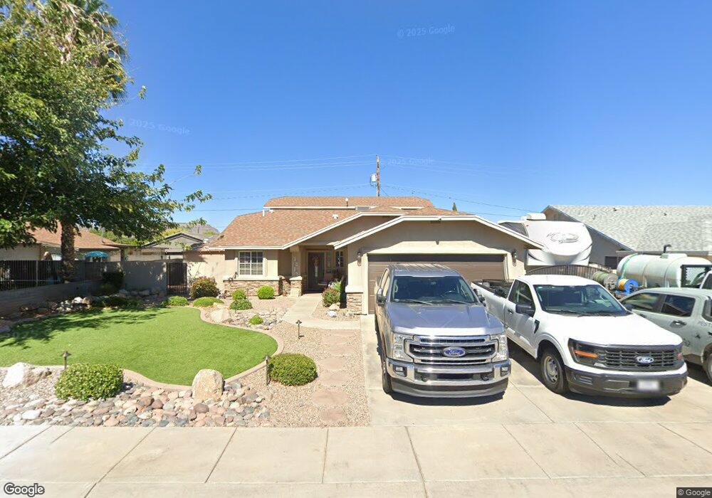
1815 Atlantic Ave Kingman, AZ 86401
Estimated Value: $246,000 - $405,000
3
Beds
2
Baths
2,340
Sq Ft
$139/Sq Ft
Est. Value
About This Home
This home is located at 1815 Atlantic Ave, Kingman, AZ 86401 and is currently estimated at $325,410, approximately $139 per square foot. 1815 Atlantic Ave is a home located in Mohave County with nearby schools including Manzanita Elementary School, Kingman Middle School, and Kingman High School.
Ownership History
Date
Name
Owned For
Owner Type
Purchase Details
Closed on
Dec 20, 2023
Sold by
Asplin William Daniel and Asplin Heidi Kay
Bought by
Asplin Family Trust and Asplin
Current Estimated Value
Purchase Details
Closed on
Oct 21, 2004
Sold by
Asplin William Daniel
Bought by
Asplin William Daniel and Asplin Heidi Kay
Purchase Details
Closed on
Jan 27, 2004
Sold by
Asplin Charles L
Bought by
Asplin William D
Home Financials for this Owner
Home Financials are based on the most recent Mortgage that was taken out on this home.
Original Mortgage
$88,000
Interest Rate
5.61%
Mortgage Type
Stand Alone Refi Refinance Of Original Loan
Create a Home Valuation Report for This Property
The Home Valuation Report is an in-depth analysis detailing your home's value as well as a comparison with similar homes in the area
Home Values in the Area
Average Home Value in this Area
Purchase History
| Date | Buyer | Sale Price | Title Company |
|---|---|---|---|
| Asplin Family Trust | -- | None Listed On Document | |
| Asplin William Daniel | -- | -- | |
| Asplin William D | $88,000 | Transnation Title Ins Co |
Source: Public Records
Mortgage History
| Date | Status | Borrower | Loan Amount |
|---|---|---|---|
| Previous Owner | Asplin William D | $88,000 |
Source: Public Records
Tax History Compared to Growth
Tax History
| Year | Tax Paid | Tax Assessment Tax Assessment Total Assessment is a certain percentage of the fair market value that is determined by local assessors to be the total taxable value of land and additions on the property. | Land | Improvement |
|---|---|---|---|---|
| 2026 | -- | -- | -- | -- |
| 2025 | $1,165 | $30,758 | $0 | $0 |
| 2024 | $1,165 | $33,365 | $0 | $0 |
| 2023 | $1,165 | $27,107 | $0 | $0 |
| 2022 | $1,088 | $22,143 | $0 | $0 |
| 2021 | $1,131 | $20,203 | $0 | $0 |
| 2019 | $1,020 | $18,576 | $0 | $0 |
| 2018 | $1,064 | $17,620 | $0 | $0 |
| 2017 | $965 | $16,073 | $0 | $0 |
| 2016 | $928 | $15,368 | $0 | $0 |
| 2015 | $970 | $13,125 | $0 | $0 |
Source: Public Records
Map
Nearby Homes
- 1737 Atlantic Ave
- 1816 Motor Ave
- 1916 Pacific Ave
- 1820 Motor Ave
- 1744 Motor Ave
- 1827 Davis Ave
- 2504 Airfield Ct
- 1945 Miami Ave
- 1939 Chicago Ave
- 2504 Golf Dr
- 1816 Club Ave
- 1834 Club Ave
- 1951 Motor Ave
- 1962 Hope Ave Unit 7
- 1707 Golden Gate Ave
- 1818 Golden Gate Ave
- 1736 Golden Gate Ave
- 2112 Golf Dr Unit 16
- 1953 Club Ave
- 905 Country Club Dr
- 1809 Atlantic Ave
- 1812 Pacific Ave
- 1818 Pacific Ave
- 1825 Atlantic Ave
- 1808 Pacific Ave
- 1803 Atlantic Ave
- 1822 Pacific Ave
- 1816 Atlantic Ave
- 1812 Atlantic Ave
- 1827 Atlantic Ave
- 1820 Atlantic Ave
- 1828 Pacific Ave
- 1826 Atlantic Ave
- 1806 Atlantic Ave
- 1829 Atlantic Ave
- 1805 Pacific Ave
- 1832 Pacific Ave
- 00 Pacific & Lasalle
- 1832 Atlantic Ave
- 1813 Pacific Ave