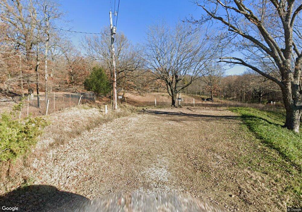
1815 Bitter Ln Springdale, AR 72764
Estimated Value: $649,000
5
Beds
1
Bath
2,000
Sq Ft
$324/Sq Ft
Est. Value
About This Home
This home is located at 1815 Bitter Ln, Springdale, AR 72764 and is currently estimated at $649,000, approximately $324 per square foot. 1815 Bitter Ln is a home located in Washington County with nearby schools including Bayyari Elementary School, Southwest Junior High School, and Helen Tyson Middle School.
Ownership History
Date
Name
Owned For
Owner Type
Purchase Details
Closed on
May 21, 2021
Sold by
Springdale School District No 50
Bought by
One Springdale Inc
Current Estimated Value
Home Financials for this Owner
Home Financials are based on the most recent Mortgage that was taken out on this home.
Original Mortgage
$401,408
Interest Rate
2.9%
Mortgage Type
Future Advance Clause Open End Mortgage
Purchase Details
Closed on
Jun 1, 1972
Bought by
Lawhorn James F
Create a Home Valuation Report for This Property
The Home Valuation Report is an in-depth analysis detailing your home's value as well as a comparison with similar homes in the area
Home Values in the Area
Average Home Value in this Area
Purchase History
| Date | Buyer | Sale Price | Title Company |
|---|---|---|---|
| One Springdale Inc | $501,760 | Advantage Title | |
| Lawhorn James F | -- | -- |
Source: Public Records
Mortgage History
| Date | Status | Borrower | Loan Amount |
|---|---|---|---|
| Closed | One Springdale Inc | $401,408 |
Source: Public Records
Tax History Compared to Growth
Tax History
| Year | Tax Paid | Tax Assessment Tax Assessment Total Assessment is a certain percentage of the fair market value that is determined by local assessors to be the total taxable value of land and additions on the property. | Land | Improvement |
|---|---|---|---|---|
| 2025 | $7 | $130 | $130 | $0 |
| 2024 | $7 | $130 | $130 | $0 |
| 2023 | $7 | $130 | $130 | $0 |
| 2022 | $1,065 | $20,210 | $20,210 | $0 |
| 2021 | $875 | $20,210 | $20,210 | $0 |
| 2020 | $802 | $20,610 | $20,610 | $0 |
| 2019 | $729 | $13,840 | $13,840 | $0 |
| 2018 | $729 | $13,840 | $13,840 | $0 |
| 2017 | $722 | $13,840 | $13,840 | $0 |
| 2016 | $722 | $13,840 | $13,840 | $0 |
| 2015 | $722 | $13,840 | $13,840 | $0 |
| 2014 | $656 | $12,570 | $12,570 | $0 |
Source: Public Records
Map
Nearby Homes
- 5.06 AC Old Wire Rd
- 2215 Sweetwater Ranch Ave
- 2232 Presley Ln
- 1337 Kendrick Ave
- 2977 Kings Dr
- Tract 2 Mountain Rd
- 2497 Woodcliff Rd
- 137 Woodcliff Rd
- 3316 N Mountain Rd
- 1278 Moody Ln
- 337 Joy Carol Loop
- 3435 Alliance Dr
- 114 E Bailey Ave
- 2996 Twin County St
- 3751 Alliance Dr
- 4.78 Acres Hatcher Rd
- 1100 E Huntsville Ave
- 303 Sanders Ave
- 413 W Highway 264
- 7.25 AC Thompson
- 1720 Bitter Ln
- 2611 Old Wire Rd
- 0 Bitter Ln
- 5Ac Bitter Ln
- 1575 Bitter Ln
- 1862 Dodd Ave
- 2959 Old Wire Rd
- 2859/2883 Old Wire Rd
- 2883 Old Wire Rd
- 2857 Old Wire Rd
- 2050 Dodd Ave
- 000 Bitter Ln
- 2500 Dodd Ave
- 3065 Old Wire Rd
- 2773 Old Wire Rd
- 2828 Old Wire Lot 1
- 1840 Dodd Ave
- 1800 Dodd Ave
- 2880 Old Wire Rd
- 2970 Old Wire Rd
