1815 Cedar Top Rd Reading, PA 19607
Pennwyn NeighborhoodEstimated Value: $320,658 - $504,000
3
Beds
1
Bath
2,251
Sq Ft
$184/Sq Ft
Est. Value
About This Home
This home is located at 1815 Cedar Top Rd, Reading, PA 19607 and is currently estimated at $415,165, approximately $184 per square foot. 1815 Cedar Top Rd is a home located in Berks County with nearby schools including Cumru Elementary School, Governor Mifflin Intermediate School, and Governor Mifflin Middle School.
Ownership History
Date
Name
Owned For
Owner Type
Purchase Details
Closed on
Dec 9, 2014
Sold by
Staso Edmund and Darras Jean
Bought by
Staso Edmund
Current Estimated Value
Purchase Details
Closed on
Jun 7, 1971
Bought by
Staso Edmund and Darras Jean
Create a Home Valuation Report for This Property
The Home Valuation Report is an in-depth analysis detailing your home's value as well as a comparison with similar homes in the area
Home Values in the Area
Average Home Value in this Area
Purchase History
| Date | Buyer | Sale Price | Title Company |
|---|---|---|---|
| Staso Edmund | -- | None Available | |
| Staso Edmund | -- | -- |
Source: Public Records
Tax History
| Year | Tax Paid | Tax Assessment Tax Assessment Total Assessment is a certain percentage of the fair market value that is determined by local assessors to be the total taxable value of land and additions on the property. | Land | Improvement |
|---|---|---|---|---|
| 2025 | $2,058 | $115,300 | $45,800 | $69,500 |
| 2024 | $5,305 | $115,300 | $45,800 | $69,500 |
| 2023 | $5,156 | $115,300 | $45,800 | $69,500 |
| 2022 | $5,027 | $115,300 | $45,800 | $69,500 |
| 2021 | $4,928 | $115,300 | $45,800 | $69,500 |
| 2020 | $4,928 | $115,300 | $45,800 | $69,500 |
| 2019 | $4,868 | $115,300 | $45,800 | $69,500 |
| 2018 | $4,780 | $115,300 | $45,800 | $69,500 |
| 2017 | $4,687 | $115,300 | $45,800 | $69,500 |
| 2016 | $1,683 | $115,300 | $45,800 | $69,500 |
| 2015 | $1,683 | $115,300 | $45,800 | $69,500 |
| 2014 | $1,683 | $115,300 | $45,800 | $69,500 |
Source: Public Records
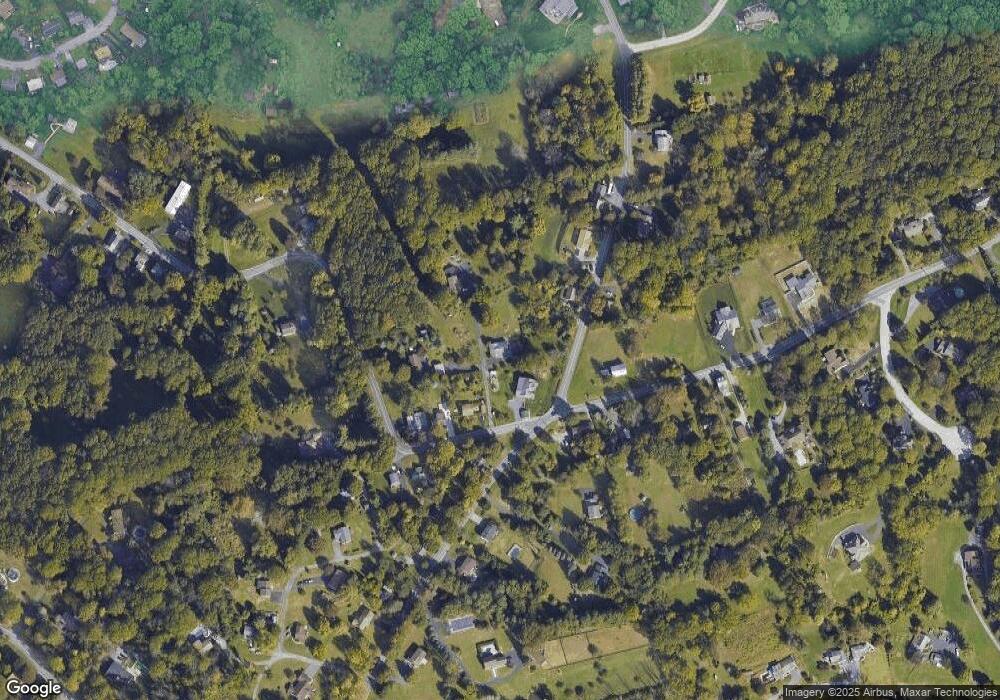
Map
Nearby Homes
- 153 E Wyomissing Ave
- 267 New Castle Dr
- 148 Main St
- 26 E Mohn St
- 17 E Summit St
- 508 S Sterley St
- 40 W Wyomissing Ave
- 1 Overview Ct
- 42 Chestnut St
- 135 Chestnut St
- 78 Chestnut St
- 512 Mifflin Blvd
- 106 Pear St
- 613 Leininger Ave
- 31 S Sterley St Unit 401
- 0 Cedar Top Rd
- 200 W Lancaster Ave
- 902 Bedford Ave
- 7 Buck Run
- 9 Katie Ln
- 1451 Welsh Rd
- 1481 Welsh Rd
- 1825 Cedar Top Rd
- 1819 Cedar Top Rd
- 1871 Cedar Top Rd
- 1480 Welsh Rd
- 1480 Welsh Rd
- 1835 Cedar Top Rd
- 1435 Welsh Rd
- 1841 Cedar Top Rd
- 1730 Cedar Top Rd
- 1515 Welsh Rd
- 1423 Welsh Rd
- 1842 Cedar Top Rd
- 1708 Cedar Top Rd
- 1870 Cedar Top Rd
- 1424 Welsh Rd
- 1508 Welsh Rd
- 205 Lost Ln
- 1536 Welsh Rd
Your Personal Tour Guide
Ask me questions while you tour the home.