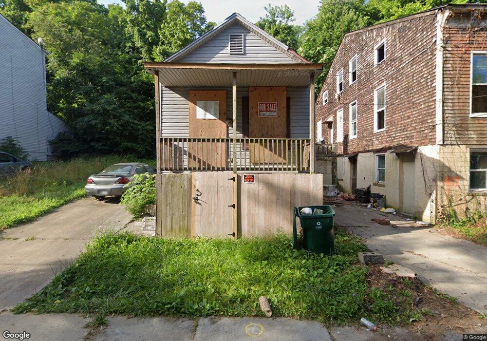
1815 Forbus St Cincinnati, OH 45214
South Fairmount NeighborhoodEstimated Value: $30,000 - $82,000
2
Beds
1
Bath
1,030
Sq Ft
$58/Sq Ft
Est. Value
About This Home
This home is located at 1815 Forbus St, Cincinnati, OH 45214 and is currently estimated at $60,235, approximately $58 per square foot. 1815 Forbus St is a home located in Hamilton County with nearby schools including Robert A. Taft Information Technology High School, Gilbert A. Dater High School, and Western Hills High School.
Ownership History
Date
Name
Owned For
Owner Type
Purchase Details
Closed on
Jan 16, 2024
Sold by
Snider Roxanne and Snider Norman
Bought by
Hernandez Denis Fidel Aguila and Ramirez Lourdes Jessenia
Current Estimated Value
Purchase Details
Closed on
Feb 17, 2005
Sold by
Doyal Thomas E
Bought by
Snider Roxanne
Purchase Details
Closed on
Jun 28, 2002
Sold by
Quintin Pick Garry
Bought by
Doyal Thomas E
Purchase Details
Closed on
Oct 17, 1997
Sold by
Cook Cathy R and Pick Lois J
Bought by
Pick Garry Quintin
Create a Home Valuation Report for This Property
The Home Valuation Report is an in-depth analysis detailing your home's value as well as a comparison with similar homes in the area
Home Values in the Area
Average Home Value in this Area
Purchase History
| Date | Buyer | Sale Price | Title Company |
|---|---|---|---|
| Hernandez Denis Fidel Aguila | $8,900 | Absolute Title Agency | |
| Hernandez Denis Fidel Aguila | $8,900 | Absolute Title Agency | |
| Snider Roxanne | $10,500 | None Available | |
| Doyal Thomas E | $5,000 | -- | |
| Pick Garry Quintin | $7,000 | -- |
Source: Public Records
Tax History
| Year | Tax Paid | Tax Assessment Tax Assessment Total Assessment is a certain percentage of the fair market value that is determined by local assessors to be the total taxable value of land and additions on the property. | Land | Improvement |
|---|---|---|---|---|
| 2025 | $232 | $3,528 | $1,694 | $1,834 |
| 2024 | $232 | $3,528 | $1,694 | $1,834 |
| 2023 | $232 | $3,528 | $1,694 | $1,834 |
| 2022 | $346 | $4,774 | $546 | $4,228 |
| 2021 | $337 | $4,774 | $546 | $4,228 |
| 2020 | $814 | $4,774 | $546 | $4,228 |
| 2019 | $371 | $4,774 | $546 | $4,228 |
| 2018 | $371 | $4,774 | $546 | $4,228 |
| 2017 | $357 | $4,774 | $546 | $4,228 |
| 2016 | $456 | $5,968 | $707 | $5,261 |
| 2015 | $408 | $5,968 | $707 | $5,261 |
| 2014 | $410 | $5,968 | $707 | $5,261 |
| 2013 | $425 | $6,090 | $721 | $5,369 |
Source: Public Records
Map
Nearby Homes
- 0 Clifford St Unit 1225342
- 1781 Westwood Ave
- 1769 Westwood Ave
- 2245 Quebec Rd
- 1879 Biegler St
- 1875 Biegler St
- 1724 Esmonde St
- 2465 Saturn St
- 1723 Montrose St
- 2457 Everglade Place
- 2227 Grand Ave
- 1712 Queen City Ave
- 1976 Queen City Ave
- 1699 Westwood Ave
- 1854 Knox St
- 2173 Clara St
- 2169 Clara St
- 2165 Clara St
- 2281 Northside Ave
- 1741 Grand Ave
- 1813 Forbus St
- 1811 Forbus St
- 1819 Forbus St
- 1821 Forbus St
- 1823 Forbus St
- 1805 Forbus St
- 1825 Forbus St
- 1827 Forbus St
- 1853 Westwood Ave
- 1831 Forbus St
- 1801 Forbus St
- 1857 Westwood Ave
- 1833 Westwood Ave
- 1835 Forbus St
- 1826 Esmonde St
- 1865 Westwood Ave
- 76 Lydia St
- 1824 Esmonde St
- 1867 Westwood Ave
- 1839 Forbus St
Your Personal Tour Guide
Ask me questions while you tour the home.