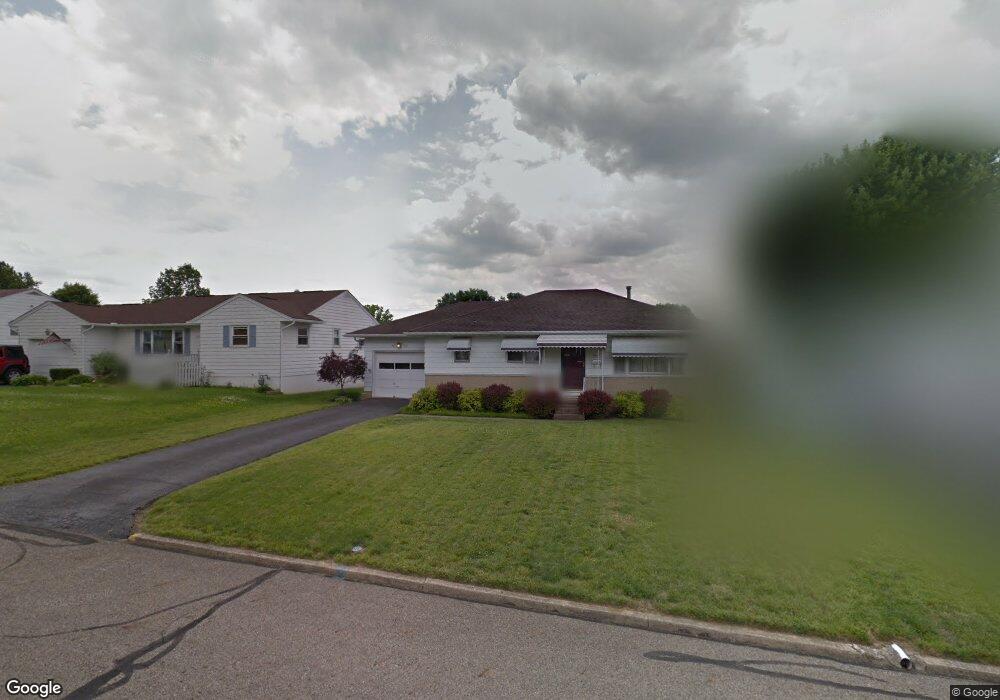
1815 Marrose Dr Lancaster, OH 43130
Estimated Value: $241,525 - $257,000
About This Home
This home is located at 1815 Marrose Dr, Lancaster, OH 43130 and is currently estimated at $249,381, approximately $218 per square foot. 1815 Marrose Dr is a home located in Fairfield County with nearby schools including Tarhe Elementary School, General Sherman Junior High School, and Lancaster High School.
Ownership History
We collect this data history from publicly available records. To have your information removed, we recommend requesting removal directly through your county’s website.
Purchase Details
Purchase Details
Purchase Details
Purchase Details
Home Financials for this Owner
Home Financials are based on the most recent Mortgage that was taken out on this home.Home Values in the Area
Average Home Value in this Area
Purchase History
We collect this data history from publicly available records. To have your information removed, we recommend requesting removal directly through your county’s website.
| Date | Buyer | Sale Price | Title Company |
|---|---|---|---|
| -- | None Available | ||
| -- | Attorney | ||
| -- | Attorney | ||
| $50,000 | -- |
Mortgage History
We collect this data history from publicly available records. To have your information removed, we recommend requesting removal directly through your county’s website.
| Date | Status | Borrower | Loan Amount |
|---|---|---|---|
| Closed | $27,000 |
Tax History
We collect this data history from publicly available records. To have your information removed, we recommend requesting removal directly through your county’s website.
| Year | Tax Paid | Tax Assessment Tax Assessment Total Assessment is a certain percentage of the fair market value that is determined by local assessors to be the total taxable value of land and additions on the property. | Land | Improvement |
|---|---|---|---|---|
| 2025 | $5,311 | $68,730 | $16,230 | $52,500 |
| 2024 | $5,311 | $59,080 | $8,250 | $50,830 |
| 2023 | $2,149 | $59,080 | $8,250 | $50,830 |
| 2022 | $2,157 | $59,080 | $8,250 | $50,830 |
| 2021 | $1,617 | $41,480 | $8,250 | $33,230 |
| 2020 | $1,549 | $41,480 | $8,250 | $33,230 |
| 2019 | $1,473 | $41,480 | $8,250 | $33,230 |
| 2018 | $1,336 | $31,620 | $8,250 | $23,370 |
| 2017 | $1,337 | $35,750 | $8,250 | $27,500 |
| 2016 | $1,302 | $35,750 | $8,250 | $27,500 |
| 2015 | $856 | $34,520 | $8,250 | $26,270 |
| 2014 | $794 | $34,520 | $8,250 | $26,270 |
| 2013 | $794 | $34,520 | $8,250 | $26,270 |
Map
- 1802 Marrose Dr
- 1693 Baltimore Rd NW
- 1917 Nichole Cir
- 0 Wacker Dr Unit 225036189
- 1621 Lookout St
- 2008 Coldspring Dr
- 321 Seneca Dr
- 272 Whittier Dr N
- 0 Marks Ave Unit 225036443
- 2185 N Columbus St
- 0 Hillside Ave
- 1570 Lancaster Kirkersville Rd NW
- 937 N Pierce Ave
- 1320 Beacon St
- 330 Park St
- 2184 Olde Ridge Ct
- 1540 N High St
- 308 Reber Ave
- 308 Reber Ave Unit 310
- 816 N Pierce Ave
- 1821 Marrose Dr
- 1814 Glenmar Dr
- 1803 Marrose Dr
- 1808 Glenmar Dr
- 1820 Glenmar Dr
- 1829 Marrose Dr
- 1802 Glenmar Dr
- 1828 Glenmar Dr
- 1812 Marrose Dr
- 1808 Marrose Dr
- 1820 Marrose Dr
- 1828 Marrose Dr
- 1789 Marrose Dr
- 1841 Marrose Dr
- 1836 Marrose Dr
- 1776 Glenmar Dr
- 215 Hartford Dr
- 1840 Glenmar Dr
- 1817 Glenmar Dr
- 1811 Glenmar Dr
Ask me questions while you tour the home.