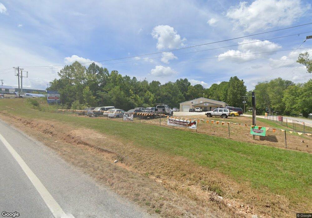
1815 N Farm Road 81 Shell Knob, MO 65747
Estimated Value: $966,000 - $988,000
3
Beds
6
Baths
4,572
Sq Ft
$214/Sq Ft
Est. Value
About This Home
This home is located at 1815 N Farm Road 81, Shell Knob, MO 65747 and is currently estimated at $977,000, approximately $213 per square foot. 1815 N Farm Road 81 is a home with nearby schools including Shell Knob Elementary School.
Ownership History
Date
Name
Owned For
Owner Type
Purchase Details
Closed on
Oct 21, 2011
Sold by
Mitchell Lawrence Reynald and Mitchell Dixie L G
Bought by
Gold Dwain L and Gold Mary Jo
Current Estimated Value
Purchase Details
Closed on
Dec 8, 2008
Sold by
Mitchell Dixie L G
Bought by
Mitchell Lawrence Reynald and Mitchell Dixie L G
Home Financials for this Owner
Home Financials are based on the most recent Mortgage that was taken out on this home.
Original Mortgage
$85,000
Interest Rate
4.92%
Mortgage Type
New Conventional
Create a Home Valuation Report for This Property
The Home Valuation Report is an in-depth analysis detailing your home's value as well as a comparison with similar homes in the area
Home Values in the Area
Average Home Value in this Area
Purchase History
| Date | Buyer | Sale Price | Title Company |
|---|---|---|---|
| Gold Dwain L | -- | None Available | |
| Mitchell Lawrence Reynald | -- | Alt |
Source: Public Records
Mortgage History
| Date | Status | Borrower | Loan Amount |
|---|---|---|---|
| Previous Owner | Mitchell Lawrence Reynald | $85,000 |
Source: Public Records
Tax History Compared to Growth
Tax History
| Year | Tax Paid | Tax Assessment Tax Assessment Total Assessment is a certain percentage of the fair market value that is determined by local assessors to be the total taxable value of land and additions on the property. | Land | Improvement |
|---|---|---|---|---|
| 2025 | $6,440 | $145,274 | $6,650 | $138,624 |
| 2024 | $6,440 | $132,677 | $6,650 | $126,027 |
| 2023 | $6,440 | $132,677 | $6,650 | $126,027 |
| 2022 | $6,439 | $132,677 | $6,650 | $126,027 |
| 2021 | $6,518 | $132,677 | $6,650 | $126,027 |
| 2020 | $6,518 | $129,428 | $3,401 | $126,027 |
| 2018 | $6,422 | $129,428 | $3,401 | $126,027 |
| 2017 | $5,624 | $129,428 | $3,401 | $126,027 |
| 2016 | $5,180 | $115,900 | $3,211 | $112,689 |
| 2015 | -- | $115,900 | $3,211 | $112,689 |
| 2014 | -- | $115,900 | $3,211 | $112,689 |
| 2012 | -- | $0 | $0 | $0 |
Source: Public Records
Map
Nearby Homes
- 26385 Rustic Rd
- 22868 Briarcliff Dr
- 22924 Farm Road 1260
- 22992 Farm Road 1260
- 22953 Dalton Dr
- 22410 White Rock Ln
- 000 Briarcliff Dr
- 27463 Cordwood Ridge Dr
- 000 Cordwood Ridge Dr
- 22636 Arrowhead Ln
- 28110 State Highway 39
- 26963 Cottage Ln
- 21866 Oak Ridge Dr
- 23403 Green Shores Dr
- 21992 Knob Hill Ln
- 26237 Twin Rivers Dr
- 000 N Sunset Ln
- 000 N Keystone St
- 224 S Millstone St
- 26386 State Highway Yy
- 26667 Villa Vinee Cir
- 26689 Villa Vinee Cir
- 26575 Villa Vinee Cir
- 26548 Villa Vinee Cir
- 26595 Villa Vinee Cir
- 26611 Villa Vinee Cir
- 22470 Farm Road 1248
- 26705 Villa Vinee Cir
- 22478 Private Road 1264
- 22562 Farm Road 1248
- Tbd Farm Road 1248
- Lot 6 Farm Road 1248
- 22364 Farm Road 1248
- 22373 Fr 1248
- 22373 Farm Road 1248 Cabin 2
- 22373 Farm Road 1248 Unit 2
- 22587 Farm Road 1248
- 4532 Tomahawk Dr
- 22359 Farm Road 1248
- 22359 Fr 1248
