1815 Rollins Ct Bel Air, MD 21014
Estimated Value: $537,942 - $600,000
Studio
3
Baths
2,293
Sq Ft
$252/Sq Ft
Est. Value
About This Home
This home is located at 1815 Rollins Ct, Bel Air, MD 21014 and is currently estimated at $577,986, approximately $252 per square foot. 1815 Rollins Ct is a home located in Harford County with nearby schools including Ring Factory Elementary School, Patterson Mill Middle School, and Patterson Mill High School.
Ownership History
Date
Name
Owned For
Owner Type
Purchase Details
Closed on
Aug 21, 2006
Sold by
Thomas John J
Bought by
James Finnegan and Finnegan Jo Carol
Current Estimated Value
Home Financials for this Owner
Home Financials are based on the most recent Mortgage that was taken out on this home.
Original Mortgage
$330,000
Outstanding Balance
$267,326
Interest Rate
6.83%
Mortgage Type
Purchase Money Mortgage
Estimated Equity
$310,660
Purchase Details
Closed on
Aug 11, 2006
Sold by
Thomas John J
Bought by
James Finnegan and Finnegan Jo Carol
Home Financials for this Owner
Home Financials are based on the most recent Mortgage that was taken out on this home.
Original Mortgage
$330,000
Outstanding Balance
$267,326
Interest Rate
6.83%
Mortgage Type
Purchase Money Mortgage
Estimated Equity
$310,660
Purchase Details
Closed on
Nov 19, 1998
Sold by
Turner Group Ltd
Bought by
Thomas John J and Thomas Susan L
Create a Home Valuation Report for This Property
The Home Valuation Report is an in-depth analysis detailing your home's value as well as a comparison with similar homes in the area
Home Values in the Area
Average Home Value in this Area
Purchase History
| Date | Buyer | Sale Price | Title Company |
|---|---|---|---|
| James Finnegan | $470,000 | -- | |
| James Finnegan | $470,000 | -- | |
| Thomas John J | $257,247 | -- |
Source: Public Records
Mortgage History
| Date | Status | Borrower | Loan Amount |
|---|---|---|---|
| Open | James Finnegan | $330,000 | |
| Closed | James Finnegan | $93,000 | |
| Closed | James Finnegan | $330,000 | |
| Closed | James Finnegan | $93,000 | |
| Closed | Thomas John J | -- |
Source: Public Records
Tax History
| Year | Tax Paid | Tax Assessment Tax Assessment Total Assessment is a certain percentage of the fair market value that is determined by local assessors to be the total taxable value of land and additions on the property. | Land | Improvement |
|---|---|---|---|---|
| 2025 | $4,402 | $420,400 | $115,000 | $305,400 |
| 2024 | $4,402 | $403,900 | $0 | $0 |
| 2023 | $4,222 | $387,400 | $0 | $0 |
| 2022 | $4,042 | $370,900 | $115,000 | $255,900 |
| 2021 | $4,280 | $370,900 | $115,000 | $255,900 |
| 2020 | $4,280 | $370,900 | $115,000 | $255,900 |
| 2019 | $4,390 | $380,400 | $115,000 | $265,400 |
| 2018 | $4,161 | $363,900 | $0 | $0 |
| 2017 | $3,973 | $380,400 | $0 | $0 |
| 2016 | $140 | $330,900 | $0 | $0 |
| 2015 | $4,324 | $330,900 | $0 | $0 |
| 2014 | $4,324 | $330,900 | $0 | $0 |
Source: Public Records
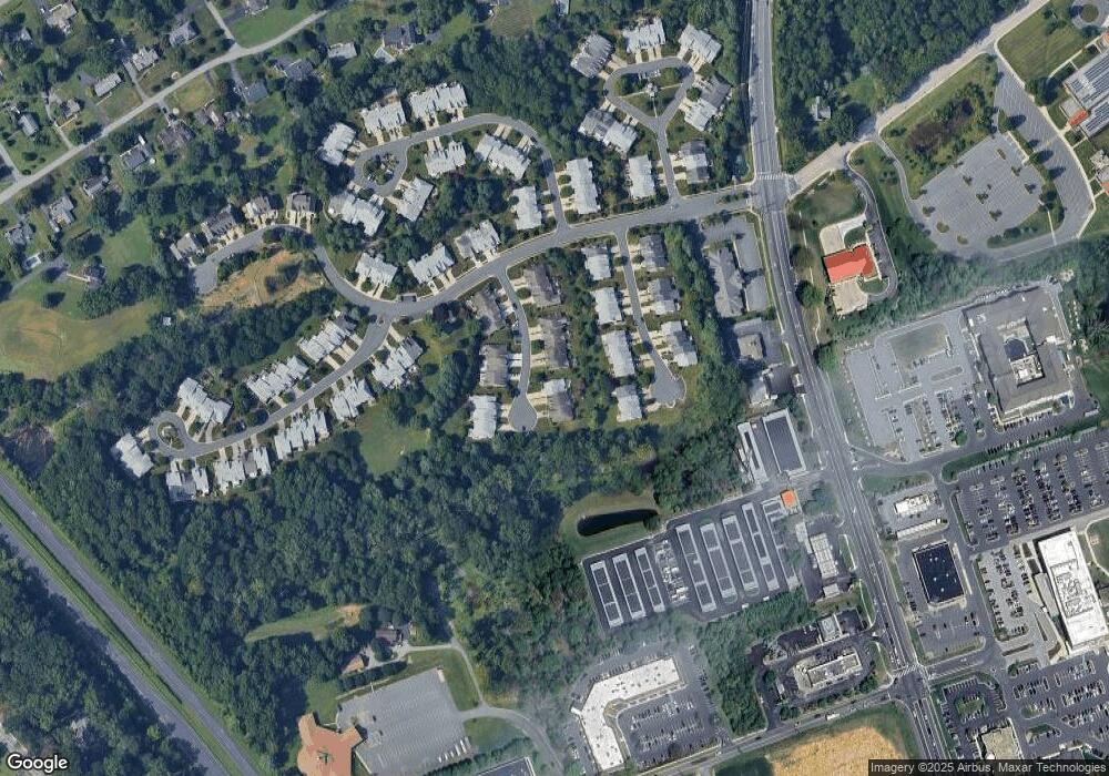
Map
Nearby Homes
- 1601 Westwood Dr
- 0 Bonnie Ave
- 1610 S Tollgate Rd
- 400 Hazelnut Ct Unit D
- 1604 S Tollgate Rd
- 140 Royal Oak Dr Unit 140-C
- 43 Oak Crest Ct
- 1500 S Tollgate Rd
- 506 Adelaide Ln
- 614 Camelot Dr
- 201 Burkwood Ct
- 308 Althea Ct
- 200 Temple Dr
- 202 Burkwood Ct
- 1320 Exmoor Ln
- 1611 Lynndale Ct
- 536 David Dr
- 508 Woodring Dr
- 2204 Autumn Glow Ct
- 1264 Colonnade Ln
- 1817 Rollins Ct
- 1813 Rollins Ct
- 1819 Rollins Ct
- 1811 Rollins Ct
- 1809 Rollins Ct
- 1810 Rollins Ct
- 1807 Rollins Ct
- 1808 Rollins Ct
- 1820 Barrington Village Ct
- 1816 Barrington Village Ct
- 1806 Rollins Ct
- 1818 Barrington Village Ct
- 1814 Barrington Village Ct
- 1812 Rollins Ct
- 1822 Barrington Village Ct
- 1812 Barrington Village Ct
- 1814 Rollins Ct
- 1824 Barrington Village Ct
- 1816 Rollins Ct
- 1810 Barrington Village Ct
Your Personal Tour Guide
Ask me questions while you tour the home.