1815 Royal Oak Dr Unit 2300G Painesville, OH 44077
Estimated Value: $135,446 - $176,000
1
Bed
1
Bath
837
Sq Ft
$190/Sq Ft
Est. Value
About This Home
This home is located at 1815 Royal Oak Dr Unit 2300G, Painesville, OH 44077 and is currently estimated at $158,862, approximately $189 per square foot. 1815 Royal Oak Dr Unit 2300G is a home located in Lake County with nearby schools including Henry F. Lamuth Middle School, Riverside Junior/Senior High School, and Summit Academy Community School - Painesville.
Ownership History
Date
Name
Owned For
Owner Type
Purchase Details
Closed on
Dec 15, 2004
Sold by
Collister Matthew W
Bought by
Hickerson Donna J
Current Estimated Value
Home Financials for this Owner
Home Financials are based on the most recent Mortgage that was taken out on this home.
Original Mortgage
$94,500
Outstanding Balance
$47,452
Interest Rate
5.77%
Mortgage Type
Purchase Money Mortgage
Estimated Equity
$111,410
Purchase Details
Closed on
Oct 18, 2002
Sold by
Great Eastern Builders
Bought by
Collister Matthew W
Home Financials for this Owner
Home Financials are based on the most recent Mortgage that was taken out on this home.
Original Mortgage
$88,255
Interest Rate
6.37%
Mortgage Type
Purchase Money Mortgage
Create a Home Valuation Report for This Property
The Home Valuation Report is an in-depth analysis detailing your home's value as well as a comparison with similar homes in the area
Home Values in the Area
Average Home Value in this Area
Purchase History
| Date | Buyer | Sale Price | Title Company |
|---|---|---|---|
| Hickerson Donna J | $105,000 | Real Living Title Agency Ltd | |
| Collister Matthew W | $92,900 | Midland Title Security Inc |
Source: Public Records
Mortgage History
| Date | Status | Borrower | Loan Amount |
|---|---|---|---|
| Open | Hickerson Donna J | $94,500 | |
| Previous Owner | Collister Matthew W | $88,255 |
Source: Public Records
Tax History Compared to Growth
Tax History
| Year | Tax Paid | Tax Assessment Tax Assessment Total Assessment is a certain percentage of the fair market value that is determined by local assessors to be the total taxable value of land and additions on the property. | Land | Improvement |
|---|---|---|---|---|
| 2024 | -- | $39,990 | $12,350 | $27,640 |
| 2023 | $3,256 | $29,880 | $10,290 | $19,590 |
| 2022 | $1,772 | $29,880 | $10,290 | $19,590 |
| 2021 | $1,778 | $29,880 | $10,290 | $19,590 |
| 2020 | $1,681 | $24,900 | $8,580 | $16,320 |
| 2019 | $1,693 | $24,900 | $8,580 | $16,320 |
| 2018 | $1,698 | $23,170 | $3,500 | $19,670 |
| 2017 | $1,629 | $23,170 | $3,500 | $19,670 |
| 2016 | $1,437 | $23,170 | $3,500 | $19,670 |
| 2015 | $1,326 | $23,170 | $3,500 | $19,670 |
| 2014 | $1,348 | $23,170 | $3,500 | $19,670 |
| 2013 | $1,317 | $23,170 | $3,500 | $19,670 |
Source: Public Records
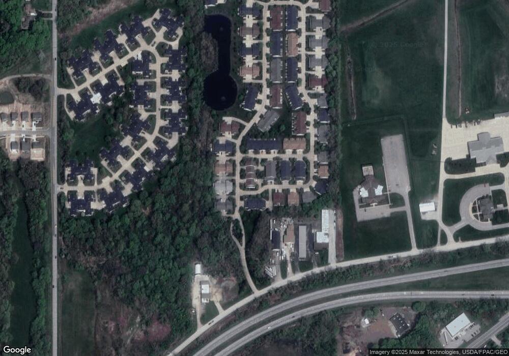
Map
Nearby Homes
- 634 N Creek Dr
- 1978 Marsh Ln Unit 1978
- 720 N Creek Dr
- 1865 Marsh Ln Unit 1865
- 751 Bacon Rd
- 1806 Muirfield Ln
- 1791 Muirfield Ln
- 1787 Muirfield Ln
- 1809 Muirfield Ln
- 0 N Ridge Rd Unit 5110949
- 1719 Duffton Ln
- 269 Hale Rd
- 1679 Duffton Ln
- 547 Greenside Dr
- 108 Birch Dr
- 499 Sand Trap Cir
- 1598 Bogie Ln
- 728 Bowhall Rd
- 389 Sand Trap Cir
- 399 Sandtrap Cir
- 1805 Royal Oak Dr
- 625 North Creek Dr Unit 2300B
- 2004 Mayapple Dr Unit 2300F
- 623 N Creek Dr
- 627 N Creek Dr
- 629 N Creek Dr
- 2008 Mayapple Dr Unit 2300E
- 629 North Creek Dr Unit 2300D
- 1825 Royal Oak Dr Unit 1825
- 2026 Mayapple Dr Unit 2026
- 1835 Royal Oak Dr
- 619 North Creek Dr Unit 2200C
- 2028 Mayapple Dr Unit 2028
- 619 N Creek Dr
- 1800 Royal Oak Dr Unit 2200D
- 1800 Royal Oak Dr Unit D
- 624 North Creek Dr Unit 200D
- 632 North Creek Dr Unit 632
- 632 N Creek Dr