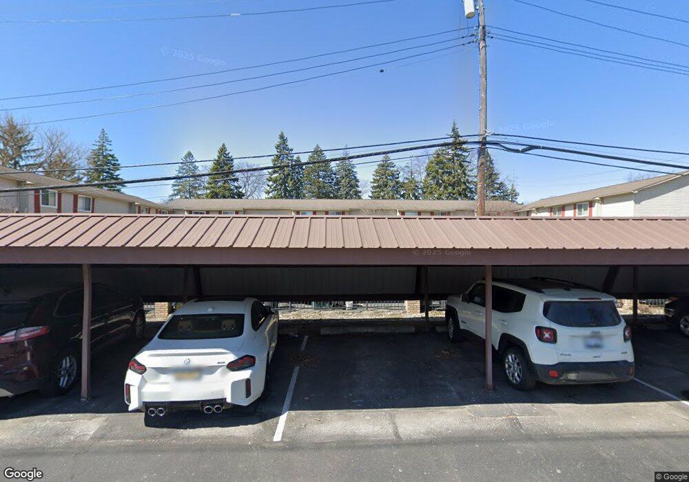
1815 Torquay Ave Unit 8 Royal Oak, MI 48073
Estimated Value: $228,068 - $246,000
2
Beds
2
Baths
1,246
Sq Ft
$191/Sq Ft
Est. Value
About This Home
This home is located at 1815 Torquay Ave Unit 8, Royal Oak, MI 48073 and is currently estimated at $238,517, approximately $191 per square foot. 1815 Torquay Ave Unit 8 is a home located in Oakland County with nearby schools including Alfred E. Upton Elementary School, Royal Oak Middle School, and Royal Oak High School.
Ownership History
Date
Name
Owned For
Owner Type
Purchase Details
Closed on
Nov 25, 2015
Sold by
Schiff Shira R
Bought by
Charles M Gerwin Revocable Living Trust
Current Estimated Value
Purchase Details
Closed on
Dec 20, 2005
Sold by
Cendant Mobility Financial Corporation
Bought by
Schiff Shira R
Home Financials for this Owner
Home Financials are based on the most recent Mortgage that was taken out on this home.
Original Mortgage
$117,600
Interest Rate
6.34%
Mortgage Type
New Conventional
Purchase Details
Closed on
Jul 23, 2005
Sold by
Bateson Amy
Bought by
Cendant Mobility Financial Corporation
Create a Home Valuation Report for This Property
The Home Valuation Report is an in-depth analysis detailing your home's value as well as a comparison with similar homes in the area
Home Values in the Area
Average Home Value in this Area
Purchase History
| Date | Buyer | Sale Price | Title Company |
|---|---|---|---|
| Charles M Gerwin Revocable Living Trust | $118,500 | Devonshire Title Agency | |
| Schiff Shira R | $147,000 | None Available | |
| Cendant Mobility Financial Corporation | $160,500 | None Available |
Source: Public Records
Mortgage History
| Date | Status | Borrower | Loan Amount |
|---|---|---|---|
| Previous Owner | Schiff Shira R | $117,600 |
Source: Public Records
Tax History Compared to Growth
Tax History
| Year | Tax Paid | Tax Assessment Tax Assessment Total Assessment is a certain percentage of the fair market value that is determined by local assessors to be the total taxable value of land and additions on the property. | Land | Improvement |
|---|---|---|---|---|
| 2024 | $2,951 | $91,270 | $0 | $0 |
| 2020 | $2,847 | $0 | $0 | $0 |
| 2018 | $3,218 | $54,830 | $0 | $0 |
| 2017 | $3,102 | $54,830 | $0 | $0 |
| 2015 | -- | $65,930 | $0 | $0 |
| 2014 | -- | $34,260 | $0 | $0 |
| 2011 | -- | $64,450 | $0 | $0 |
Source: Public Records
Map
Nearby Homes
- 4921 N Crooks Rd Unit N-10
- 4952 Coventry St Unit 315
- 4909 Crooks Rd Unit C7
- 4909 Crooks Rd Unit 4
- 4921 Crooks Rd Unit M-10
- 4909 Coventry St Unit 287
- 1806 Torquay Ave
- 1936 Torquay Ave Unit 205
- 5011 Thorncroft Ave
- 846 Phillips Ave
- 2420 Parmenter Blvd Unit 101
- 2440 Parmenter Blvd Unit 112
- 4859 Mansfield Ave Unit H5
- 4830 Briarwood Ave Unit 2
- 4859 Mansfield Ave Unit H-06
- 4910 Briarwood Ave Unit A 1
- 4820 Briarwood Ave Unit 4
- 2344 W 14 Mile Rd Unit 7
- 4840 Briarwood Ave Unit 8
- 908 W Elmwood Ave
- 1825 Torquay Ave
- 1823 Torquay Ave
- 1821 Torquay Ave
- 1819 Torquay Ave
- 1817 Torquay Ave Unit 9
- 1815 Torquay Ave
- 1813 Torquay Ave
- 1811 Torquay Ave
- 1809 Torquay Ave
- 1807 Torquay Ave
- 1805 Torquay Ave Unit 3
- 1803 Torquay Ave
- 1827 Torquay Ave
- 1827 Torquay Ave Unit 14
- 1801 Torquay Ave Unit 1
- 1801 Torquay Ave
- 1831 Torquay Ave
- 5095 Crooks Rd Unit 2
- 5095 Crooks Rd Unit 8
- 5095 Crooks Rd