1815 W Caroline Path Lecanto, FL 34461
Estimated Value: $254,000 - $517,000
2
Beds
2
Baths
1,602
Sq Ft
$203/Sq Ft
Est. Value
About This Home
This home is located at 1815 W Caroline Path, Lecanto, FL 34461 and is currently estimated at $325,358, approximately $203 per square foot. 1815 W Caroline Path is a home located in Citrus County with nearby schools including Forest Ridge Elementary School, Lecanto Middle School, and Lecanto High School.
Ownership History
Date
Name
Owned For
Owner Type
Purchase Details
Closed on
Dec 21, 2012
Sold by
Brindle Paul R and Brindle Jane A
Bought by
The Brindle Family Revocable Living Trus
Current Estimated Value
Purchase Details
Closed on
Dec 1, 2012
Bought by
Brindle Paul R and Brindle Jane A
Purchase Details
Closed on
Oct 19, 2011
Sold by
Pritzl Paula M and The Paula M Pritzl Revocable L
Bought by
Brindle Paul R and Brindle Jane Ann
Purchase Details
Closed on
Dec 28, 2007
Sold by
Brentwood Farms Lp
Bought by
Livin Pritzl Paula M and Livin Paula M Pritzl Revocable
Create a Home Valuation Report for This Property
The Home Valuation Report is an in-depth analysis detailing your home's value as well as a comparison with similar homes in the area
Home Values in the Area
Average Home Value in this Area
Purchase History
| Date | Buyer | Sale Price | Title Company |
|---|---|---|---|
| The Brindle Family Revocable Living Trus | -- | Attorney | |
| Brindle Paul R | $100 | -- | |
| Brindle Paul R | $145,000 | Manatee Title Company Inc | |
| Livin Pritzl Paula M | $240,800 | Manatee Title Company Inc |
Source: Public Records
Tax History
| Year | Tax Paid | Tax Assessment Tax Assessment Total Assessment is a certain percentage of the fair market value that is determined by local assessors to be the total taxable value of land and additions on the property. | Land | Improvement |
|---|---|---|---|---|
| 2025 | $2,252 | $189,041 | -- | -- |
| 2024 | $2,194 | $183,713 | -- | -- |
| 2023 | $2,194 | $178,362 | $0 | $0 |
| 2022 | $2,050 | $173,167 | $0 | $0 |
| 2021 | $1,966 | $168,123 | $15,730 | $152,393 |
| 2020 | $2,416 | $159,057 | $15,730 | $143,327 |
| 2019 | $2,369 | $155,980 | $15,730 | $140,250 |
| 2018 | $2,239 | $150,166 | $15,730 | $134,436 |
| 2017 | $2,116 | $140,845 | $15,730 | $125,115 |
| 2016 | $2,053 | $134,883 | $12,750 | $122,133 |
| 2015 | $1,782 | $103,801 | $8,250 | $95,551 |
| 2014 | $1,837 | $103,550 | $8,457 | $95,093 |
Source: Public Records
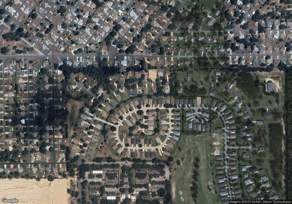
Map
Nearby Homes
- 1876 W Caroline Path
- 1882 W Angelica Loop
- 1874 W Angelica Loop
- 2488 N Brentwood Cir
- 316 S Lincoln Ave
- 1733 W Caroline Path
- 2394 N Brentwood Cir
- 43 Sj Kellner Blvd
- 2388 N Brentwood Cir
- 45 Sj Kellner Blvd
- 519 S Harrison St
- 2545 N Brentwood Cir
- 1636 W Caroline Path
- 515 S Monroe St
- 515 S Jefferson St
- 521 S Jefferson St
- 523 S Jefferson St
- 524 S Jefferson St
- 1870 W Shanelle Path
- 1912 W Shanelle Path
- 1809 W Caroline Path Unit 10
- 1809 W Caroline Path
- 1797 W Caroline Path
- 2461 N Brentwood Cir
- 1785 W Caroline Path
- 2899 N Kayla Point
- 1843 W Caroline Path
- 2455 N Brentwood Cir
- 1840 W Caroline Path
- 2887 N Kayla Point
- 1853 W Caroline Path
- 1755 W Angelica Loop
- 1771 W Caroline Path
- 1858 W Caroline Path
- 2875 N Kayla Point
- 2481 N Brentwood Cir
- 1863 W Caroline Path
- 1759 W Angelica Loop
- 1761 W Caroline Path
- 2441 N Brentwood Cir