1815 Wakefield Trace Unit 2 McDonough, GA 30252
Estimated Value: $311,805 - $342,000
3
Beds
2
Baths
2,252
Sq Ft
$147/Sq Ft
Est. Value
About This Home
This home is located at 1815 Wakefield Trace Unit 2, McDonough, GA 30252 and is currently estimated at $331,451, approximately $147 per square foot. 1815 Wakefield Trace Unit 2 is a home located in Henry County with nearby schools including Rock Spring Elementary School, Ola Middle School, and Ola High School.
Ownership History
Date
Name
Owned For
Owner Type
Purchase Details
Closed on
Jun 28, 2002
Sold by
Dlt Enterprises Inc
Bought by
Fenner Billy and Fenner Ella
Current Estimated Value
Home Financials for this Owner
Home Financials are based on the most recent Mortgage that was taken out on this home.
Original Mortgage
$167,150
Outstanding Balance
$69,687
Interest Rate
6.75%
Mortgage Type
VA
Estimated Equity
$261,764
Create a Home Valuation Report for This Property
The Home Valuation Report is an in-depth analysis detailing your home's value as well as a comparison with similar homes in the area
Home Values in the Area
Average Home Value in this Area
Purchase History
| Date | Buyer | Sale Price | Title Company |
|---|---|---|---|
| Fenner Billy | $163,900 | -- |
Source: Public Records
Mortgage History
| Date | Status | Borrower | Loan Amount |
|---|---|---|---|
| Open | Fenner Billy | $167,150 |
Source: Public Records
Tax History Compared to Growth
Tax History
| Year | Tax Paid | Tax Assessment Tax Assessment Total Assessment is a certain percentage of the fair market value that is determined by local assessors to be the total taxable value of land and additions on the property. | Land | Improvement |
|---|---|---|---|---|
| 2025 | $2,049 | $131,080 | $16,000 | $115,080 |
| 2024 | $2,049 | $123,960 | $16,000 | $107,960 |
| 2023 | $3,034 | $134,960 | $16,000 | $118,960 |
| 2022 | $2,957 | $110,360 | $16,000 | $94,360 |
| 2021 | $2,808 | $87,440 | $16,000 | $71,440 |
| 2020 | $2,722 | $83,800 | $14,800 | $69,000 |
| 2019 | $2,561 | $76,960 | $14,000 | $62,960 |
| 2018 | $2,373 | $69,000 | $12,000 | $57,000 |
| 2016 | $2,116 | $59,840 | $10,000 | $49,840 |
| 2015 | $2,041 | $56,600 | $8,000 | $48,600 |
| 2014 | $1,943 | $53,640 | $8,000 | $45,640 |
Source: Public Records
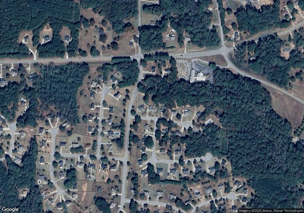
Map
Nearby Homes
- 1908 Munford Place
- 0 Wynn Rd Unit 10627608
- 1012 Gloria Grand Blvd
- 1512 Lincoln Terrace
- 4075 O Henry Ct
- 124 Wynn Rd
- 501 Barhams Ridge Dr
- 3000 Keeneland Blvd
- 185 Wynn Rd
- 146 Aubree Way
- 0 Highway 81 St E Unit 10597150
- 4904 Highway 81 E
- 523 Barhams Ridge Dr
- 545 Barhams Ridge Dr
- 120 Covenant Ct
- 108 Nobility Ln
- 530 Austin Dr
- 100 Lavender Way
- 393 Stallsworth Rd
- 505 Judith Ct
- 1825 Wakefield Trace
- 1805 Wakefield Trace
- 1005 Gloria Grand Blvd
- 1900 Munford Place
- 1835 Wakefield Trace
- 1901 Munford Place Unit 2
- 1240 Raleigh Dr Unit 1
- 1003 Gloria Grand Blvd
- 1904 Munford Place Unit 2
- 1845 Wakefield Trace
- 1230 Raleigh Dr
- 1001 Gloria Grand Blvd
- 1220 Raleigh Dr
- 1840 Wakefield Trace
- 1913 Munford Place
- 1250 Raleigh Dr
- 1250 Raleigh Dr Unit 1
- 1855 Wakefield Trace Unit 2
- 1210 Raleigh Dr Unit 1
- 1927 Munford Place