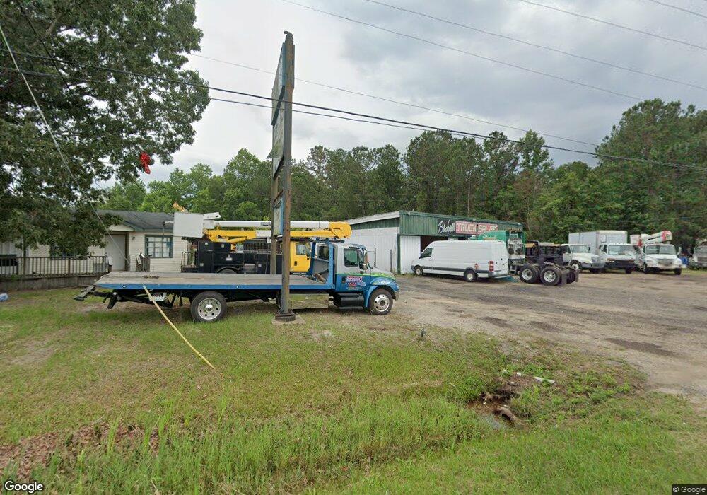
1816 E I-65 Service Rd N Mobile, AL 36617
Neely NeighborhoodEstimated Value: $308,489
--
Bed
1
Bath
4,750
Sq Ft
$65/Sq Ft
Est. Value
About This Home
This home is located at 1816 E I-65 Service Rd N, Mobile, AL 36617 and is currently estimated at $308,489, approximately $64 per square foot. 1816 E I-65 Service Rd N is a home located in Mobile County with nearby schools including Elizabeth S Chastang-Fournier K-8 School, Mattie T Blount High School, and Trinity Lutheran Elementary School.
Ownership History
Date
Name
Owned For
Owner Type
Purchase Details
Closed on
Aug 4, 2023
Sold by
Blackwell Cecil Dewayne
Bought by
Blackwells Truck Sales & Parts Llc
Current Estimated Value
Purchase Details
Closed on
Apr 1, 2022
Sold by
Blackwell Samuel B
Bought by
Blackwell Dewayne
Purchase Details
Closed on
Sep 14, 2011
Sold by
Roberts Bryan Keith
Bought by
Blackwell Samuel B and Blackwell Helen M
Create a Home Valuation Report for This Property
The Home Valuation Report is an in-depth analysis detailing your home's value as well as a comparison with similar homes in the area
Home Values in the Area
Average Home Value in this Area
Purchase History
| Date | Buyer | Sale Price | Title Company |
|---|---|---|---|
| Blackwells Truck Sales & Parts Llc | $16,500 | None Listed On Document | |
| Blackwell Dewayne | $268,200 | Pierce Ledyard Pc | |
| Blackwell Samuel B | $150,000 | Ct |
Source: Public Records
Tax History Compared to Growth
Tax History
| Year | Tax Paid | Tax Assessment Tax Assessment Total Assessment is a certain percentage of the fair market value that is determined by local assessors to be the total taxable value of land and additions on the property. | Land | Improvement |
|---|---|---|---|---|
| 2024 | $5,987 | $88,880 | $40,680 | $48,200 |
| 2023 | $5,987 | $53,640 | $16,880 | $36,760 |
| 2022 | $3,406 | $53,640 | $16,880 | $36,760 |
| 2021 | $3,406 | $53,640 | $16,880 | $36,760 |
| 2020 | $3,406 | $53,640 | $16,880 | $36,760 |
| 2019 | $3,109 | $48,960 | $16,880 | $32,080 |
| 2018 | $3,109 | $48,960 | $0 | $0 |
| 2017 | $3,109 | $48,960 | $0 | $0 |
| 2016 | $3,219 | $50,700 | $0 | $0 |
| 2013 | $3,240 | $49,280 | $0 | $0 |
Source: Public Records
Map
Nearby Homes
- 3209 First Ave
- 1721 Richardson Way
- 2621 Berkley Ave
- 4054 Pringle Dr
- 1413 Pine Grove Ave
- 2464 2nd Ave
- 1417 Pringle Dr
- 4020 Baker Rd
- 6632 Monarch Cir
- 1758 La Pine Dr
- 1800 La Pine Dr
- 3907 Moffett Ct
- 3825 Moffett Rd
- 4108 Chambord Ln
- 1053 Lubel Ave
- 0 Western Dr
- 653 Farrell St
- 1207 Clara Ave
- 2454 Pinetree Dr
- 1117 Neely Ave
- 1816 E Interstate 65 Service Rd N
- 3308 First Ave
- 3312 First Ave
- 3304 First Ave
- 3314 First Ave
- 1800 E I65 Service Rd N
- 1800 E Interstate 65 Service Rd N
- 3129 Ridgeway St
- 3212 First Ave
- 3210 First Ave
- 3307 First Ave
- 3309 First Ave
- 3311 First Ave
- 3313 First Ave
- 3125 Ridgeway St
- 3213 First Ave
- 3321 First Ave
- 3211 First Ave
- 3204 First Ave
- 3308 Rochester St