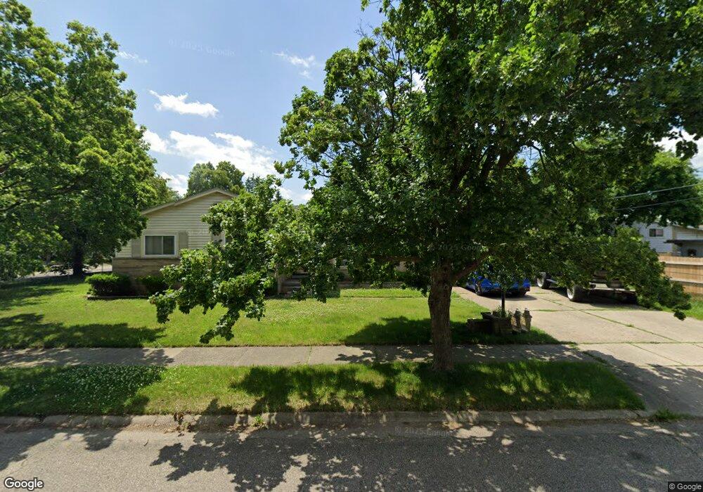
1816 Pingree Ave Flint, MI 48503
South Parks NeighborhoodEstimated Value: $123,000 - $142,000
3
Beds
2
Baths
1,679
Sq Ft
$80/Sq Ft
Est. Value
About This Home
This home is located at 1816 Pingree Ave, Flint, MI 48503 and is currently estimated at $134,364, approximately $80 per square foot. 1816 Pingree Ave is a home located in Genesee County with nearby schools including Freeman Elementary School, Flint Southwestern Classical Academy, and International Academy of Flint (K-12).
Ownership History
Date
Name
Owned For
Owner Type
Purchase Details
Closed on
Sep 25, 2018
Sold by
Wright Henry M and Wright Douglas C
Bought by
Alexander Chris
Current Estimated Value
Home Financials for this Owner
Home Financials are based on the most recent Mortgage that was taken out on this home.
Original Mortgage
$54,003
Interest Rate
4.99%
Mortgage Type
FHA
Purchase Details
Closed on
Jun 11, 2012
Sold by
Wright Louise
Bought by
Wright Henry M
Create a Home Valuation Report for This Property
The Home Valuation Report is an in-depth analysis detailing your home's value as well as a comparison with similar homes in the area
Home Values in the Area
Average Home Value in this Area
Purchase History
| Date | Buyer | Sale Price | Title Company |
|---|---|---|---|
| Alexander Chris | $55,000 | None Available | |
| Wright Henry M | -- | None Available |
Source: Public Records
Mortgage History
| Date | Status | Borrower | Loan Amount |
|---|---|---|---|
| Closed | Alexander Chris | $54,003 |
Source: Public Records
Tax History Compared to Growth
Tax History
| Year | Tax Paid | Tax Assessment Tax Assessment Total Assessment is a certain percentage of the fair market value that is determined by local assessors to be the total taxable value of land and additions on the property. | Land | Improvement |
|---|---|---|---|---|
| 2025 | $2,485 | $63,900 | $0 | $0 |
| 2024 | $2,272 | $56,200 | $0 | $0 |
| 2023 | $2,196 | $47,500 | $0 | $0 |
| 2022 | $0 | $42,500 | $0 | $0 |
| 2021 | $2,242 | $35,500 | $0 | $0 |
| 2020 | $2,031 | $28,800 | $0 | $0 |
| 2019 | $1,961 | $26,400 | $0 | $0 |
| 2018 | $1,201 | $25,000 | $0 | $0 |
| 2017 | $1,164 | $0 | $0 | $0 |
| 2016 | $1,155 | $0 | $0 | $0 |
| 2015 | -- | $0 | $0 | $0 |
| 2014 | -- | $0 | $0 | $0 |
| 2012 | -- | $24,900 | $0 | $0 |
Source: Public Records
Map
Nearby Homes
- 1917 Whittlesey St
- 1937 Chelan St
- 1601 Wayne St
- 1840 Mcphail St
- 9211 Owen St
- 1110 Pingree Ave
- 2029 Aitken Ave
- 2010 Crocker Ave
- 2618 Pinetree Dr
- 1510 S Franklin Ave
- 2221 Howard Ave
- 1409 S Franklin Ave
- 2224 Crocker Ave
- 2313 Brookside Dr
- 2121 Dwight Ave
- 1925 Gilmartin St
- 1940 Tebo St
- 3373 Kent St
- 1856 Tebo St
- 2050 Ferris Ave
- 2006 Whittlesey St
- 2010 Whittlesey St
- 2001 Barks St
- 2005 Barks St
- 1934 Whittlesey St
- 2009 Barks St
- 1801 Pingree Ave
- 1902 Pingree Ave
- 2014 Whittlesey St
- 2007 Whittlesey St
- 2013 Barks St
- 1901 Pingree Ave
- 1933 Barks St
- 2013 Whittlesey St
- 2018 Whittlesey St
- 1933 Whittlesey St
- 2017 Barks St
- 2017 Whittlesey St
- 1926 Whittlesey St
- 1929 Barks St