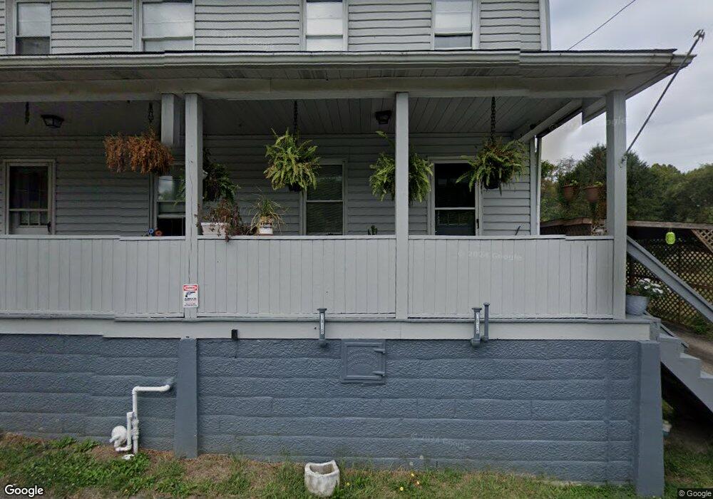
1816 Rock St Connellsville, PA 15425
Connellsville Township NeighborhoodEstimated Value: $79,000 - $151,000
4
Beds
2
Baths
2,112
Sq Ft
$55/Sq Ft
Est. Value
About This Home
This home is located at 1816 Rock St, Connellsville, PA 15425 and is currently estimated at $116,733, approximately $55 per square foot. 1816 Rock St is a home located in Fayette County with nearby schools including Connellsville Area Senior High School, Conn Area Catholic School, and Mt Carmel Christian School.
Ownership History
Date
Name
Owned For
Owner Type
Purchase Details
Closed on
Apr 10, 2020
Sold by
Lynnekendrish Carol and Lynnekendrish Stephen R
Bought by
Puskar Sophie A
Current Estimated Value
Home Financials for this Owner
Home Financials are based on the most recent Mortgage that was taken out on this home.
Original Mortgage
$78,551
Outstanding Balance
$69,388
Interest Rate
3.25%
Mortgage Type
FHA
Estimated Equity
$47,345
Purchase Details
Closed on
Mar 14, 2008
Sold by
Kreinbrook Cynthia K
Bought by
Kendrish Carol Lynne and Kendrish Stephen R
Home Financials for this Owner
Home Financials are based on the most recent Mortgage that was taken out on this home.
Original Mortgage
$60,000
Interest Rate
5.72%
Mortgage Type
New Conventional
Create a Home Valuation Report for This Property
The Home Valuation Report is an in-depth analysis detailing your home's value as well as a comparison with similar homes in the area
Home Values in the Area
Average Home Value in this Area
Purchase History
| Date | Buyer | Sale Price | Title Company |
|---|---|---|---|
| Puskar Sophie A | $80,000 | None Available | |
| Kendrish Carol Lynne | $80,000 | None Available |
Source: Public Records
Mortgage History
| Date | Status | Borrower | Loan Amount |
|---|---|---|---|
| Open | Puskar Sophie A | $78,551 | |
| Previous Owner | Kendrish Carol Lynne | $60,000 |
Source: Public Records
Tax History Compared to Growth
Tax History
| Year | Tax Paid | Tax Assessment Tax Assessment Total Assessment is a certain percentage of the fair market value that is determined by local assessors to be the total taxable value of land and additions on the property. | Land | Improvement |
|---|---|---|---|---|
| 2025 | $593 | $24,190 | $5,280 | $18,910 |
| 2024 | $566 | $24,190 | $5,280 | $18,910 |
| 2023 | $1,091 | $24,190 | $5,280 | $18,910 |
| 2022 | $1,091 | $24,190 | $5,280 | $18,910 |
| 2021 | $1,091 | $24,190 | $5,280 | $18,910 |
| 2020 | $1,067 | $24,190 | $5,280 | $18,910 |
| 2019 | $1,006 | $24,190 | $5,280 | $18,910 |
| 2018 | $1,006 | $24,190 | $5,280 | $18,910 |
| 2017 | $1,006 | $24,190 | $5,280 | $18,910 |
| 2016 | -- | $24,190 | $5,280 | $18,910 |
| 2015 | -- | $24,190 | $5,280 | $18,910 |
| 2014 | -- | $48,380 | $10,560 | $37,820 |
Source: Public Records
Map
Nearby Homes
- 205 E Georgia Ave
- 314 W Blake Ave
- 332 Johnson Ln
- 1114 N Jefferson St
- 221 Barbara Ln
- 224 E End Rd
- 304 Narrows Rd
- 608 E Crawford Ave
- 502 E Murphy Ave
- 410/410 1/2 Stephens St
- 120 Madison Ave
- 86 Dark St
- 243 E Fairview Ave
- 1102 Blackstone Ave
- 214 E Fairview Ave
- 118 S Carnegie Ave
- 316 W Crawford Ave
- 805 Mount Aetna Blvd
- 524 Race St
- 309 E Green St
- 1820 Rock St
- 1814 Rock St
- 1824 Rock St
- 1810 Rock St
- 1823 Rock St
- 1828 Rock St
- 1817 Rock St
- 1827 Rock St
- 1832 Rock St
- 1815 Buttermore Blvd
- 1602 Gulf St
- 1602 Gulf St
- 104 Coal Brook St
- 106 Coal Brook St
- 109 Coal Brook St
- US119 Whistle Park
- 1802 Buttermore Blvd
- 107 Coal Brook St
- 1713 Buttermore Blvd
- 1915 Idaho St