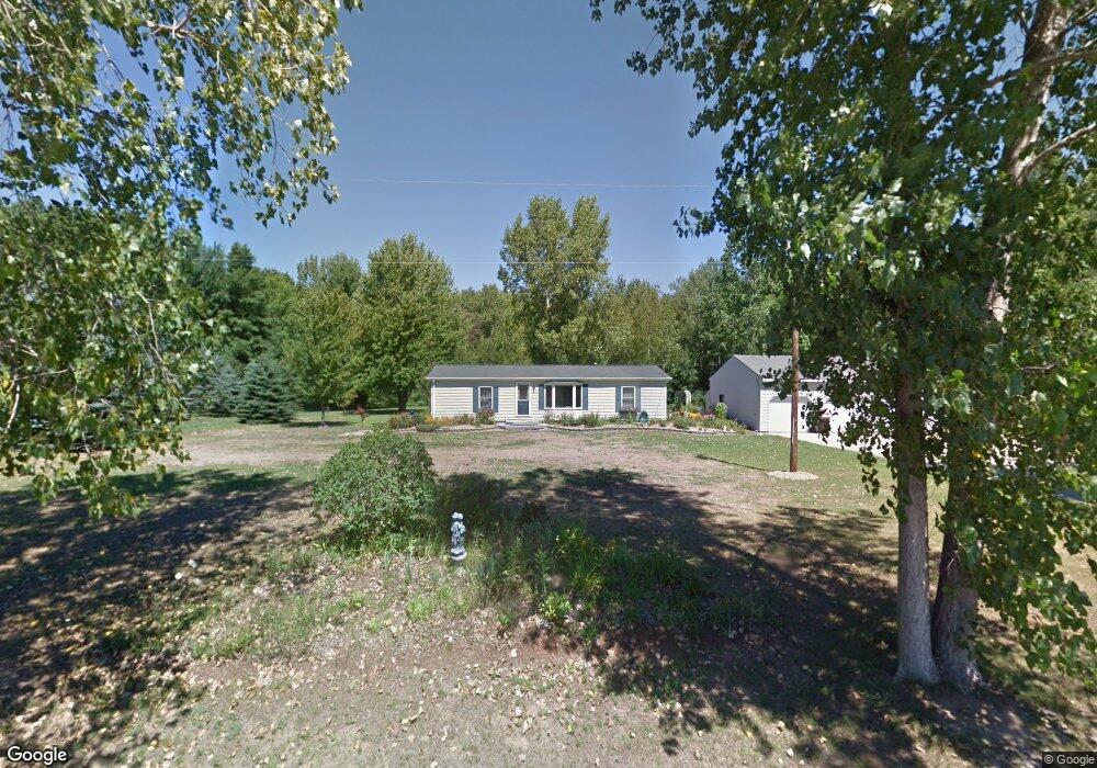
1816 W Linwood Rd Linwood, MI 48634
Estimated Value: $74,000 - $173,000
--
Bed
--
Bath
--
Sq Ft
21.68
Acres
About This Home
This home is located at 1816 W Linwood Rd, Linwood, MI 48634 and is currently estimated at $123,500. 1816 W Linwood Rd is a home located in Bay County with nearby schools including Linwood Elementary School, Pinconning Central Elementary School, and Pinconning Middle School.
Ownership History
Date
Name
Owned For
Owner Type
Purchase Details
Closed on
Jul 23, 2014
Sold by
Schlink Richard S
Bought by
Russell Angula D
Current Estimated Value
Home Financials for this Owner
Home Financials are based on the most recent Mortgage that was taken out on this home.
Original Mortgage
$134,910
Outstanding Balance
$42,886
Interest Rate
4.19%
Mortgage Type
New Conventional
Estimated Equity
$80,614
Purchase Details
Closed on
Feb 28, 2005
Sold by
Schlink Richard and Schlink Vonnie
Bought by
Schlink Richard S and Richard Schlink Trust
Purchase Details
Closed on
Aug 27, 2003
Sold by
Schlink John J and Schlink Debra S
Bought by
Schlink Richard and Schlink Vonnie
Purchase Details
Closed on
Oct 27, 1999
Sold by
Schlink John J and Schlink Debra S
Bought by
Schlink Richard and Schlink Vonnie
Create a Home Valuation Report for This Property
The Home Valuation Report is an in-depth analysis detailing your home's value as well as a comparison with similar homes in the area
Home Values in the Area
Average Home Value in this Area
Purchase History
| Date | Buyer | Sale Price | Title Company |
|---|---|---|---|
| Russell Angula D | $149,900 | None Available | |
| Schlink Richard S | -- | -- | |
| Schlink Richard | $43,358 | -- | |
| Schlink Richard | $43,400 | -- |
Source: Public Records
Mortgage History
| Date | Status | Borrower | Loan Amount |
|---|---|---|---|
| Open | Russell Angula D | $134,910 |
Source: Public Records
Tax History Compared to Growth
Tax History
| Year | Tax Paid | Tax Assessment Tax Assessment Total Assessment is a certain percentage of the fair market value that is determined by local assessors to be the total taxable value of land and additions on the property. | Land | Improvement |
|---|---|---|---|---|
| 2025 | $1,107 | $54,000 | $0 | $0 |
| 2024 | $1,047 | $41,050 | $0 | $0 |
| 2023 | $361 | $32,400 | $0 | $0 |
| 2022 | $996 | $29,100 | $0 | $0 |
| 2021 | $906 | $29,200 | $29,200 | $0 |
| 2020 | $892 | $28,700 | $28,700 | $0 |
| 2019 | $858 | $28,700 | $0 | $0 |
| 2018 | $815 | $28,700 | $0 | $0 |
| 2017 | $799 | $26,600 | $0 | $0 |
| 2016 | $807 | $26,600 | $0 | $26,600 |
| 2015 | -- | $26,600 | $0 | $26,600 |
| 2014 | -- | $26,600 | $0 | $26,600 |
Source: Public Records
Map
Nearby Homes
- 2730 W Anderson Rd
- 0 S 11 Mile Rd
- 4949 S Garfield Rd
- 1255 S Nine Mile Rd
- 2515 S 11 Mile Rd
- 2192 S Garfield Rd
- 5096 N Waldo Rd
- 2010 Eleven Mile
- 2041 S Carter Rd
- Lot B N Waldo
- Lot A N Waldo
- 1428 S 8 Mile Rd
- 2863 Erickson Rd
- 1560 N 8 Mile Rd
- 2615 N Waldo Rd
- 1826 8 Mile Rd
- 2509 N Waldo Rd
- 50 Schmidt Rd
- 0 W Beaver Rd
- 2858 N Cedaridge Dr
- 1816 W Linwood Rd
- 1868 W Linwood Rd
- 1746 W Linwood Rd
- 1741 W Linwood Rd
- 1702 W Linwood Rd
- 1938 W Linwood Rd
- 1721 W Linwood Rd
- 1951 W Linwood Rd
- 1663 W Linwood Rd
- 35 S Carter Rd
- 1649 W Linwood Rd
- VL W Linwood Rd
- 55 S Carter Rd
- 55 S Carter Rd
- 1636 W Linwood Rd
- 1627 W Linwood Rd
- 1620 W Linwood Rd
- 1579 W Linwood Rd
- 1560 W Linwood Rd
- 1557 W Linwood Rd