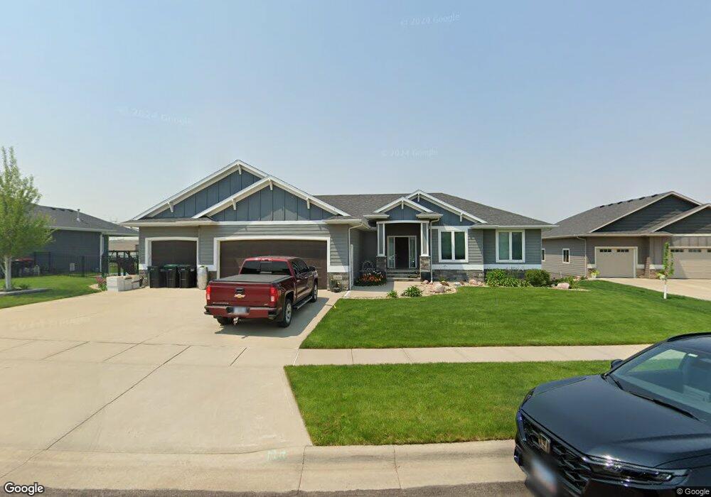
1816 W Thomas Cir Brandon, SD 57005
Estimated Value: $716,000 - $883,000
About This Home
This home is located at 1816 W Thomas Cir, Brandon, SD 57005 and is currently estimated at $802,848, approximately $215 per square foot. 1816 W Thomas Cir is a home located in Minnehaha County with nearby schools including Robert Bennis Elementary School, Brandon Valley Middle School, and Brandon Valley Intermediate School.
Ownership History
We collect this data history from publicly available records. To have your information removed, we recommend requesting removal directly through your county’s website.
Purchase Details
Home Financials for this Owner
Home Financials are based on the most recent Mortgage that was taken out on this home.Purchase Details
Home Financials for this Owner
Home Financials are based on the most recent Mortgage that was taken out on this home.Home Values in the Area
Average Home Value in this Area
Purchase History
We collect this data history from publicly available records. To have your information removed, we recommend requesting removal directly through your county’s website.
| Date | Buyer | Sale Price | Title Company |
|---|---|---|---|
| $600,000 | None Available | ||
| $64,000 | -- |
Mortgage History
We collect this data history from publicly available records. To have your information removed, we recommend requesting removal directly through your county’s website.
| Date | Status | Borrower | Loan Amount |
|---|---|---|---|
| Open | $480,000 | ||
| Previous Owner | $417,000 |
Tax History
We collect this data history from publicly available records. To have your information removed, we recommend requesting removal directly through your county’s website.
| Year | Tax Paid | Tax Assessment Tax Assessment Total Assessment is a certain percentage of the fair market value that is determined by local assessors to be the total taxable value of land and additions on the property. | Land | Improvement |
|---|---|---|---|---|
| 2025 | $9,738 | $739,100 | $126,200 | $612,900 |
| 2024 | $9,738 | $698,100 | $126,200 | $571,900 |
| 2023 | $9,405 | $675,100 | $90,200 | $584,900 |
| 2022 | $9,123 | $620,100 | $75,200 | $544,900 |
| 2021 | $9,625 | $616,700 | $0 | $0 |
| 2020 | $9,625 | $611,400 | $0 | $0 |
| 2019 | $9,172 | $570,503 | $0 | $0 |
| 2018 | $8,467 | $542,338 | $0 | $0 |
| 2017 | $8,467 | $521,369 | $60,062 | $461,307 |
| 2016 | $8,467 | $512,330 | $60,062 | $452,268 |
| 2015 | $8,541 | $494,433 | $54,055 | $440,378 |
| 2014 | -- | $472,935 | $54,055 | $418,880 |
Map
- 1705 W Ashton Trail
- 1701 W River Bend St
- 1504 W Bennett Dr
- 305 S Heritage Rd
- 1409 W Creekside Dr
- 1313 Creekside Dr
- 1517 W Autumn Cir
- 1324 Meadowbrook Trail
- 117 S Peaceful Ave Ave
- 708 Lakota Ave
- 8701 E Maple St
- 1000 S Lakota Ave Ave
- 204 W Birchwood Dr
- 312 W Evergreen Dr
- 104 Robin Place
- 201 S Cardinal Dr
- 808 N Sioux Blvd
- 900 N Sioux Blvd
- 804 N Sioux Blvd
- 904 N Sioux Blvd
- 1817 W Thomas Cir
- 1812 W Thomas Cir
- 1805 W River Bend St
- 1801 River Bend St
- 1809 W River Bend St
- 1813 W Thomas Cir
- 1809 W Thomas Cir
- 1821 Ashton Trail
- 1808 W Thomas Cir
- 1717 W River Bend St
- 1817 W Ashton Trail
- 1817 Ashton Trail
- 1813 Ashton Trail
- 1813 River Bend St
- 1804 W Thomas Cir
- 1805 W Thomas Cir
- 1800 W Thomas Cir
- 1900 River Bend St
- 1801 W Thomas Cir
- 1901 W River Bend St
Ask me questions while you tour the home.