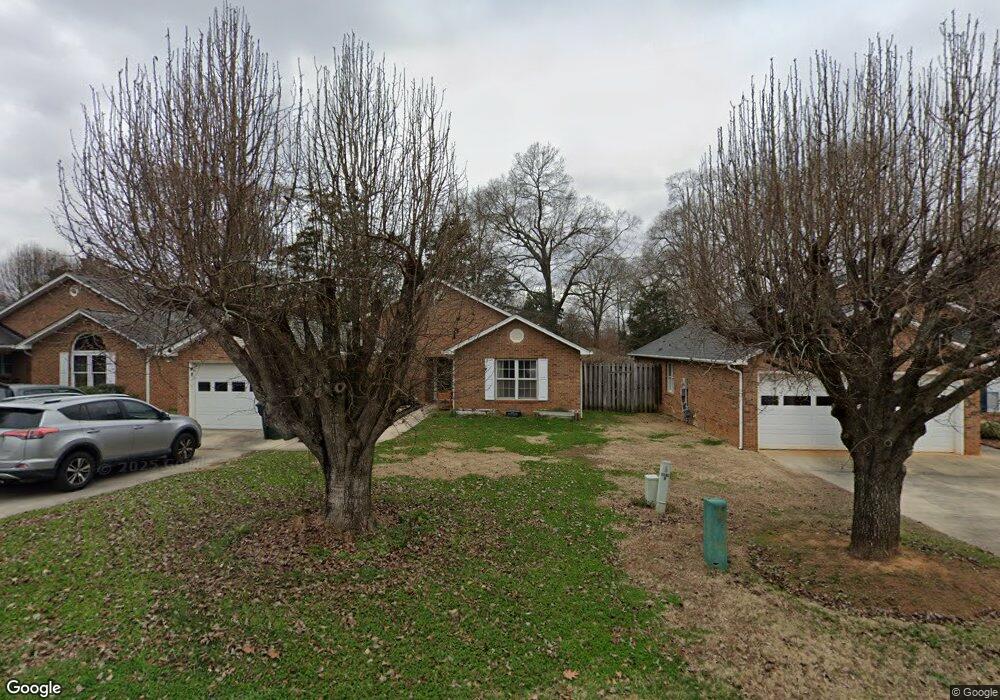
1817 Charter Dr Rock Hill, SC 29732
Estimated Value: $314,943 - $323,000
2
Beds
2
Baths
1,595
Sq Ft
$200/Sq Ft
Est. Value
About This Home
This home is located at 1817 Charter Dr, Rock Hill, SC 29732 and is currently estimated at $318,986, approximately $199 per square foot. 1817 Charter Dr is a home located in York County with nearby schools including Richmond Drive Elementary School, W.C. Sullivan Middle School, and Rock Hill High School.
Ownership History
Date
Name
Owned For
Owner Type
Purchase Details
Closed on
May 16, 2016
Sold by
Wease Angela Renee and Walden Melissa Nicole
Bought by
Woods Lawanda D and Woods William Lee
Current Estimated Value
Home Financials for this Owner
Home Financials are based on the most recent Mortgage that was taken out on this home.
Original Mortgage
$126,100
Outstanding Balance
$100,548
Interest Rate
3.71%
Mortgage Type
New Conventional
Estimated Equity
$218,438
Purchase Details
Closed on
Feb 17, 2012
Sold by
Estate Of Derrell Brock Miller
Bought by
Wease Angela Renee and Walden Melissa Nicole
Create a Home Valuation Report for This Property
The Home Valuation Report is an in-depth analysis detailing your home's value as well as a comparison with similar homes in the area
Home Values in the Area
Average Home Value in this Area
Purchase History
| Date | Buyer | Sale Price | Title Company |
|---|---|---|---|
| Woods Lawanda D | $130,000 | None Available | |
| Wease Angela Renee | -- | -- |
Source: Public Records
Mortgage History
| Date | Status | Borrower | Loan Amount |
|---|---|---|---|
| Open | Woods Lawanda D | $126,100 |
Source: Public Records
Tax History Compared to Growth
Tax History
| Year | Tax Paid | Tax Assessment Tax Assessment Total Assessment is a certain percentage of the fair market value that is determined by local assessors to be the total taxable value of land and additions on the property. | Land | Improvement |
|---|---|---|---|---|
| 2024 | $1,377 | $6,277 | $1,120 | $5,157 |
| 2023 | $1,381 | $6,278 | $1,120 | $5,158 |
| 2022 | $1,391 | $6,278 | $1,120 | $5,158 |
| 2021 | -- | $6,278 | $1,120 | $5,158 |
| 2020 | $1,394 | $6,278 | $0 | $0 |
| 2019 | $1,424 | $6,220 | $0 | $0 |
| 2018 | $1,423 | $6,220 | $0 | $0 |
| 2017 | $1,370 | $6,220 | $0 | $0 |
| 2016 | $1,222 | $6,220 | $0 | $0 |
| 2014 | $840 | $5,600 | $1,120 | $4,480 |
| 2013 | $840 | $6,040 | $1,000 | $5,040 |
Source: Public Records
Map
Nearby Homes
- 1811 Charter Dr
- 1155 Cedar Grove Ln
- 1738 Northgate Ln
- 1233 Sapaugh Ave
- 1642 Amber Ln
- 1948 Marett Blvd
- 128 Front Porch Dr
- 1098 Farm Pond Ln Unit 5A
- 1110 Mckinnon Dr
- 873 Kentwood Dr
- 1134 Mckinnon Dr
- 1140 Mckinnon Dr Unit 15
- 2135 Eden Terrace
- 876 Kentwood Dr
- 1319 Mount Gallant Rd
- 2009 Pinevalley Rd
- 1062 Cherry Meadow Ln
- 1149 Mckinnon Dr
- 1151 Mckinnon Dr
- 2236 Myers St
- 1821 Charter Dr
- 1825 Charter Dr
- 1803 Charter Dr
- 1148 Ebinport Rd
- 1820 Charter Dr
- 1831 Charter Dr
- 1122 Delamere Ct
- 1824 Charter Dr
- 1828 Charter Dr
- 1154 Ebinport Rd
- 1835 Charter Dr
- 1832 Charter Dr
- 1836 Charter Dr
- 1118 Delamere Ct
- 1839 Charter Dr
- 1139 Ebinport Rd
- 1156 Ebinport Rd
- 1116 Ebinport Rd
- 1129 Ebinport Rd
- 1145 Ebinport Rd