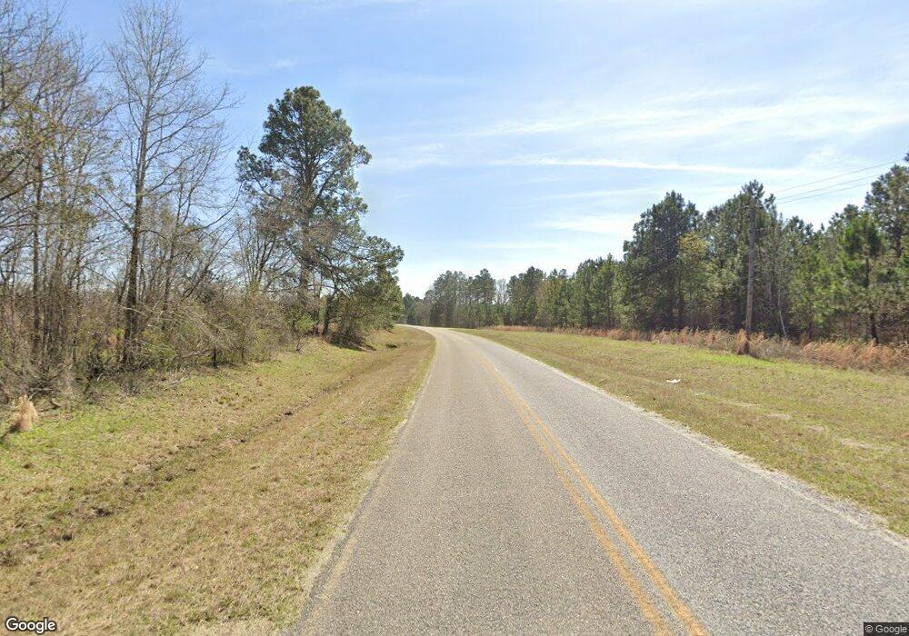
1817 Drone Rd Waynesboro, GA 30830
Estimated Value: $224,000 - $1,132,098
1
Bed
1
Bath
1,504
Sq Ft
$426/Sq Ft
Est. Value
About This Home
This home is located at 1817 Drone Rd, Waynesboro, GA 30830 and is currently estimated at $641,033, approximately $426 per square foot. 1817 Drone Rd is a home with nearby schools including Burke County High School.
Ownership History
Date
Name
Owned For
Owner Type
Purchase Details
Closed on
May 21, 2025
Sold by
Brown Mary R
Bought by
3 Gulls Llc
Current Estimated Value
Purchase Details
Closed on
Sep 20, 2013
Sold by
Brown Stephen W Sr Estate Of
Bought by
Stephen W Brown Jr Gst Trust
Purchase Details
Closed on
Sep 20, 2012
Sold by
Brown Stephen W
Bought by
Brown Stephen W and Stephen W Gst Brown Trust
Purchase Details
Closed on
Sep 19, 2012
Sold by
Stephen W Brown Fam Ll
Bought by
Brown Stephen W
Purchase Details
Closed on
Mar 31, 2006
Sold by
Not Provided
Bought by
Brown Stephen W and Brown Fam Ll Stephen W
Purchase Details
Closed on
Aug 20, 2003
Sold by
Brown Stephen W
Bought by
Brown Stephen W Family Llp
Purchase Details
Closed on
Jun 26, 2003
Sold by
Brown Avis M Est
Bought by
Brown Stephen W
Purchase Details
Closed on
Mar 11, 1994
Bought by
Brown Stephen W
Create a Home Valuation Report for This Property
The Home Valuation Report is an in-depth analysis detailing your home's value as well as a comparison with similar homes in the area
Home Values in the Area
Average Home Value in this Area
Purchase History
| Date | Buyer | Sale Price | Title Company |
|---|---|---|---|
| 3 Gulls Llc | -- | -- | |
| Brown Mary R | -- | -- | |
| Stephen W Brown Jr Gst Trust | -- | -- | |
| Brown Stephen W | -- | -- | |
| Brown Stephen W | -- | -- | |
| Brown Stephen W | $283,200 | -- | |
| Brown Stephen W Family Llp | -- | -- | |
| Brown Stephen W | -- | -- | |
| Brown Stephen W | $275,900 | -- |
Source: Public Records
Tax History Compared to Growth
Tax History
| Year | Tax Paid | Tax Assessment Tax Assessment Total Assessment is a certain percentage of the fair market value that is determined by local assessors to be the total taxable value of land and additions on the property. | Land | Improvement |
|---|---|---|---|---|
| 2024 | $3,630 | $278,487 | $217,045 | $61,442 |
| 2023 | $3,757 | $259,730 | $196,061 | $63,669 |
| 2022 | $3,497 | $237,671 | $182,963 | $54,708 |
| 2021 | $3,400 | $232,402 | $182,963 | $49,439 |
| 2020 | $3,340 | $232,402 | $182,963 | $49,439 |
| 2019 | $2,787 | $209,067 | $184,155 | $24,912 |
| 2018 | $2,724 | $209,067 | $184,155 | $24,912 |
| 2017 | $2,548 | $197,565 | $178,245 | $19,320 |
| 2016 | $2,474 | $197,565 | $178,245 | $19,320 |
| 2015 | $2,501 | $199,042 | $0 | $0 |
| 2014 | $2,463 | $199,042 | $0 | $0 |
| 2013 | -- | $199,614 | $178,245 | $21,369 |
Source: Public Records
Map
Nearby Homes
