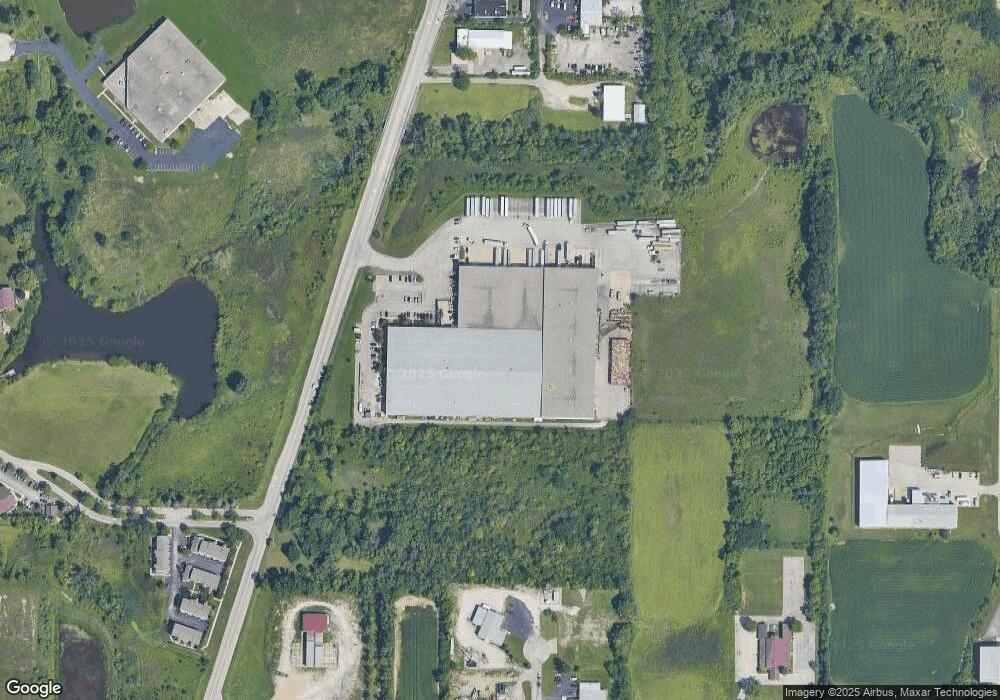
1817 Kenosha Rd Zion, IL 60099
West Zion Neighborhood
--
Bed
--
Bath
--
Sq Ft
15.11
Acres
About This Home
This home is located at 1817 Kenosha Rd, Zion, IL 60099. 1817 Kenosha Rd is a home located in Lake County with nearby schools including Kenneth Murphy School, Beach Park Middle School, and Zion-Benton Township High School.
Ownership History
Date
Name
Owned For
Owner Type
Purchase Details
Closed on
Oct 15, 2014
Sold by
El Dorado Building Partners Llc
Bought by
Vk 1817 Kenosha Llc
Home Financials for this Owner
Home Financials are based on the most recent Mortgage that was taken out on this home.
Original Mortgage
$10,000
Outstanding Balance
$7,703
Interest Rate
4.23%
Mortgage Type
Credit Line Revolving
Purchase Details
Closed on
May 20, 2005
Sold by
H & M Enterprises Llc
Bought by
El Dorado Building Partners Llc
Home Financials for this Owner
Home Financials are based on the most recent Mortgage that was taken out on this home.
Original Mortgage
$9,500,000
Interest Rate
5.91%
Mortgage Type
Construction
Purchase Details
Closed on
Mar 16, 1995
Sold by
Jans George H and Jans Corrine R
Bought by
H & M Enterprises Llc
Home Financials for this Owner
Home Financials are based on the most recent Mortgage that was taken out on this home.
Original Mortgage
$3,200,000
Interest Rate
8.97%
Mortgage Type
Commercial
Create a Home Valuation Report for This Property
The Home Valuation Report is an in-depth analysis detailing your home's value as well as a comparison with similar homes in the area
Home Values in the Area
Average Home Value in this Area
Purchase History
| Date | Buyer | Sale Price | Title Company |
|---|---|---|---|
| Vk 1817 Kenosha Llc | $4,445,000 | None Available | |
| El Dorado Building Partners Llc | -- | -- | |
| H & M Enterprises Llc | $433,000 | -- |
Source: Public Records
Mortgage History
| Date | Status | Borrower | Loan Amount |
|---|---|---|---|
| Open | Vk 1817 Kenosha Llc | $10,000 | |
| Previous Owner | El Dorado Building Partners Llc | $9,500,000 | |
| Previous Owner | H & M Enterprises Llc | $3,200,000 |
Source: Public Records
Tax History Compared to Growth
Tax History
| Year | Tax Paid | Tax Assessment Tax Assessment Total Assessment is a certain percentage of the fair market value that is determined by local assessors to be the total taxable value of land and additions on the property. | Land | Improvement |
|---|---|---|---|---|
| 2024 | $269,751 | $2,368,117 | $344,315 | $2,023,802 |
| 2023 | $271,705 | $2,111,374 | $306,986 | $1,804,388 |
| 2022 | $271,705 | $2,082,428 | $239,158 | $1,843,270 |
| 2021 | $269,325 | $1,953,497 | $224,351 | $1,729,146 |
| 2020 | $261,251 | $1,837,375 | $211,015 | $1,626,360 |
| 2019 | $255,574 | $1,711,574 | $196,567 | $1,515,007 |
| 2018 | $262,267 | $1,711,575 | $196,568 | $1,515,007 |
| 2017 | $260,307 | $1,587,732 | $182,345 | $1,405,387 |
| 2016 | $242,548 | $1,441,296 | $165,527 | $1,275,769 |
| 2015 | $236,062 | $1,578,929 | $150,192 | $1,428,737 |
| 2014 | $43,290 | $1,971,798 | $140,926 | $1,830,872 |
| 2012 | $308,993 | $2,099,891 | $150,081 | $1,949,810 |
Source: Public Records
Map
Nearby Homes
- 1524 Anderson Trail
- 4013 Ridge Rd
- 4109 Sarah Dr
- 1817 Joppa Ave
- 12434 W Van Ct
- 1531 Southport Ct
- 42334 N Heritage Lot 7 Trail
- 2010 Sunset Ct
- 1521 Southport Ct
- 2407 Phillip Dr
- 2407 Miriam Ave
- 3717 Willow Crest Dr
- 1304 Pelican Ct
- 2413 Michael Ave
- 2414 Phillip Dr
- 4533 Illinois 173
- 4539 Illinois 173
- 1814 Jethro Ave
- 41320 N Green Bay Rd
- 3404 Sarah Dr
- 1711 Kenosha Rd
- 1701 Kenosha Rd
- 1911 Freedom Ct Unit 391
- 1911 Freedom Ct Unit 1911
- 1911 Freedom Ct Unit 1
- 1908 Freedom Ct Unit 371
- 1906 Freedom Ct Unit 372
- 1908 Freedom Ct Unit 1908
- 1908 Freedom Ct Unit 4
- 1917 Freedom Ct
- 1915 Freedom Ct Unit 393
- 1913 Freedom Ct Unit 392
- 1903 Freedom Ct Unit 384
- 1905 Freedom Ct Unit 383
- 1907 Freedom Ct Unit 382
- 1909 Freedom Ct Unit 381
- 1929 Freedom Ct Unit 411
- 1901 Freedom Ct Unit 385
- 1915 Freedom Ct Unit 1915
- 1901 Freedom Ct Unit 1901