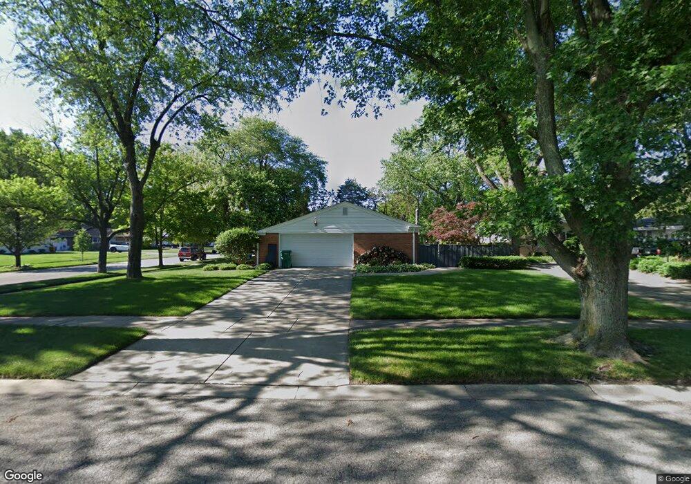
1817 Lambert Ln Munster, IN 46321
Estimated Value: $362,000 - $439,000
4
Beds
2
Baths
4,198
Sq Ft
$95/Sq Ft
Est. Value
About This Home
This home is located at 1817 Lambert Ln, Munster, IN 46321 and is currently estimated at $399,748, approximately $95 per square foot. 1817 Lambert Ln is a home with nearby schools including Munster High School, St. Thomas More School, and Highland Christian School.
Ownership History
Date
Name
Owned For
Owner Type
Purchase Details
Closed on
Sep 27, 2024
Sold by
Beatty Lisa Kmak
Bought by
Hughes Eric and Hughes Kimberly Rutledge
Current Estimated Value
Home Financials for this Owner
Home Financials are based on the most recent Mortgage that was taken out on this home.
Original Mortgage
$347,200
Outstanding Balance
$342,272
Interest Rate
6.46%
Mortgage Type
New Conventional
Estimated Equity
$57,476
Purchase Details
Closed on
May 13, 2021
Sold by
Kmak Lisa Ann
Bought by
Kmak Marilyn Ann
Create a Home Valuation Report for This Property
The Home Valuation Report is an in-depth analysis detailing your home's value as well as a comparison with similar homes in the area
Home Values in the Area
Average Home Value in this Area
Purchase History
| Date | Buyer | Sale Price | Title Company |
|---|---|---|---|
| Hughes Eric | -- | Chicago Title Insurance Compan | |
| Kmak Marilyn Ann | -- | None Listed On Document |
Source: Public Records
Mortgage History
| Date | Status | Borrower | Loan Amount |
|---|---|---|---|
| Open | Hughes Eric | $347,200 |
Source: Public Records
Tax History Compared to Growth
Tax History
| Year | Tax Paid | Tax Assessment Tax Assessment Total Assessment is a certain percentage of the fair market value that is determined by local assessors to be the total taxable value of land and additions on the property. | Land | Improvement |
|---|---|---|---|---|
| 2025 | $3,794 | $375,700 | $68,300 | $307,400 |
| 2024 | $8,844 | $313,100 | $68,300 | $244,800 |
| 2023 | $3,749 | $289,300 | $70,000 | $219,300 |
| 2022 | $3,533 | $268,000 | $70,000 | $198,000 |
| 2021 | $3,074 | $234,200 | $41,100 | $193,100 |
| 2020 | $2,996 | $228,000 | $41,100 | $186,900 |
| 2019 | $2,817 | $217,300 | $41,100 | $176,200 |
| 2018 | $3,119 | $208,500 | $41,100 | $167,400 |
| 2017 | $3,080 | $205,700 | $41,100 | $164,600 |
| 2016 | $2,935 | $204,100 | $41,100 | $163,000 |
| 2014 | $2,924 | $201,700 | $41,100 | $160,600 |
| 2013 | $2,805 | $197,700 | $41,100 | $156,600 |
Source: Public Records
Map
Nearby Homes
- 8800 Baring Ave
- 1841 Lambert Ln
- 8969 Hudson Ct
- 9123 Crestwood Ct
- 9133 Foliage Ln
- 1608 Tulip Ln
- 8339 Northcote Ave
- 8450 Kraay Ave
- 8309 Northcote Ave
- 1324 Vivian Ln
- 2305 Martha St Unit D2
- 2306 Martha St Unit 101
- 2306 Martha St Unit 302
- 1825 Oriole Dr
- 9401 Fran Lin Pkwy
- 8306 Walnut Dr
- 8831 Schneider Ave Unit 53
- 8831 Schneider Ave Unit 64
- 8134 Oakwood Ave
- 1938 Magnolia Ln
- 1823 Lambert Ln
- 8801 Baring Ave
- 1820 Mirmar Rd
- 1820 Mirmar Ln
- 1829 Lambert Ln
- 1826 Mirmar Ln
- 8744 Baring Ave
- 1840 Mirmar Ln
- 8804 Baring Ave
- 8811 Baring Ave
- 1830 Mirmar Ln
- 8738 Baring Ave
- 1824 Lambert Ln
- 1835 Lambert Ln
- 8810 Baring Ave
- 8732 Baring Ave
- 1836 Lambert Ln
- 8728 Baring Ave
- 8816 Baring Ave
- 8717 Baring Ave