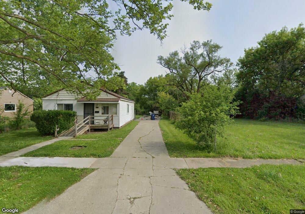
1817 Polly St Flint, MI 48505
Northeast Village NeighborhoodEstimated Value: $118,000
3
Beds
1
Bath
950
Sq Ft
$124/Sq Ft
Est. Value
About This Home
This home is located at 1817 Polly St, Flint, MI 48505 and is currently estimated at $118,000, approximately $124 per square foot. 1817 Polly St is a home located in Genesee County with nearby schools including Brownell STEM Academy, The New Standard Academy, and Richfield Public School Academy.
Ownership History
Date
Name
Owned For
Owner Type
Purchase Details
Closed on
Dec 20, 2013
Sold by
Genesee County Treasurer
Bought by
Genesee County Land Bank
Current Estimated Value
Purchase Details
Closed on
Nov 1, 2005
Sold by
Flint Rentals Llc
Bought by
Havasu Llc
Home Financials for this Owner
Home Financials are based on the most recent Mortgage that was taken out on this home.
Original Mortgage
$29,900
Interest Rate
7%
Mortgage Type
Seller Take Back
Purchase Details
Closed on
Nov 16, 2004
Sold by
Kildee Daniel T
Bought by
Servico Inc
Purchase Details
Closed on
Jul 10, 2003
Sold by
Dodson Randy
Bought by
Bogart Christopher
Create a Home Valuation Report for This Property
The Home Valuation Report is an in-depth analysis detailing your home's value as well as a comparison with similar homes in the area
Home Values in the Area
Average Home Value in this Area
Purchase History
| Date | Buyer | Sale Price | Title Company |
|---|---|---|---|
| Genesee County Land Bank | -- | None Available | |
| Havasu Llc | $29,900 | -- | |
| Servico Inc | $2,800 | -- | |
| Bogart Christopher | -- | -- |
Source: Public Records
Mortgage History
| Date | Status | Borrower | Loan Amount |
|---|---|---|---|
| Previous Owner | Havasu Llc | $29,900 |
Source: Public Records
Tax History
| Year | Tax Paid | Tax Assessment Tax Assessment Total Assessment is a certain percentage of the fair market value that is determined by local assessors to be the total taxable value of land and additions on the property. | Land | Improvement |
|---|---|---|---|---|
| 2025 | -- | $0 | $0 | $0 |
| 2024 | -- | $0 | $0 | $0 |
| 2023 | -- | $0 | $0 | $0 |
| 2022 | $0 | $0 | $0 | $0 |
| 2021 | $0 | $0 | $0 | $0 |
| 2020 | $0 | $0 | $0 | $0 |
| 2019 | $0 | $0 | $0 | $0 |
| 2018 | $0 | $0 | $0 | $0 |
| 2017 | $0 | $0 | $0 | $0 |
| 2016 | $0 | $0 | $0 | $0 |
| 2015 | -- | $0 | $0 | $0 |
| 2014 | -- | $0 | $0 | $0 |
| 2012 | -- | $2,000 | $0 | $0 |
Source: Public Records
Map
Nearby Homes
- 1704 E Webster Rd
- 5910 N Dort Hwy
- E E Carpenter Rd
- 5919 Western Rd
- 1218 E Piper Ave
- 1206 E Home Ave
- 2727 Eaton Place
- 6101 Selby St
- 2825 Eaton Place
- 2909 E Pierson Rd
- 5190 Branch Rd
- 2806 Epsilon Trail
- 802 E Russell Ave
- 4907 Delta Dr
- 1151 E Cornell Ave
- 1023 E Princeton Ave
- 418 E Foss Ave
- 1080 E Cornell Ave
- 2135 E Coldwater Rd
- 638 E Foss Ave
Your Personal Tour Guide
Ask me questions while you tour the home.