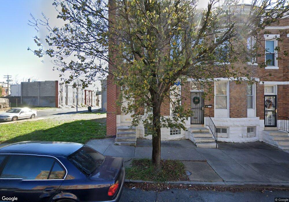
1817 Riggs Ave Baltimore, MD 21217
Sandtown-Winchester NeighborhoodEstimated Value: $42,755 - $64,000
Studio
--
Bath
--
Sq Ft
1,220
Sq Ft
About This Home
This home is located at 1817 Riggs Ave, Baltimore, MD 21217 and is currently estimated at $53,378. 1817 Riggs Ave is a home located in Baltimore City with nearby schools including Sandtown-Winchester Achievement Academy, Booker T. Washington Middle School, and Frederick Douglass High School.
Ownership History
Date
Name
Owned For
Owner Type
Purchase Details
Closed on
Nov 18, 2022
Sold by
Turf Llc
Bought by
Baltimore Excel 03 Llc
Current Estimated Value
Purchase Details
Closed on
Nov 22, 2021
Sold by
Samuel Jackson
Bought by
Baltimore Excel 03 Llc
Purchase Details
Closed on
Jun 29, 2007
Sold by
Hudson Rea
Bought by
Mcdonald Daryl
Home Financials for this Owner
Home Financials are based on the most recent Mortgage that was taken out on this home.
Original Mortgage
$30,000
Interest Rate
12%
Mortgage Type
Purchase Money Mortgage
Purchase Details
Closed on
Feb 12, 2007
Sold by
Canty Rosa
Bought by
Hudson Andrea and Parrish Charles
Create a Home Valuation Report for This Property
The Home Valuation Report is an in-depth analysis detailing your home's value as well as a comparison with similar homes in the area
Home Values in the Area
Average Home Value in this Area
Purchase History
| Date | Buyer | Sale Price | Title Company |
|---|---|---|---|
| Baltimore Excel 03 Llc | $1,300 | None Listed On Document | |
| Baltimore Excel 03 Llc | $23,000 | None Listed On Document | |
| Mcdonald Daryl | $25,300 | -- | |
| Hudson Andrea | $1,500 | -- |
Source: Public Records
Mortgage History
| Date | Status | Borrower | Loan Amount |
|---|---|---|---|
| Previous Owner | Mcdonald Daryl | $30,000 |
Source: Public Records
Tax History
| Year | Tax Paid | Tax Assessment Tax Assessment Total Assessment is a certain percentage of the fair market value that is determined by local assessors to be the total taxable value of land and additions on the property. | Land | Improvement |
|---|---|---|---|---|
| 2025 | $645 | $27,733 | -- | -- |
| 2024 | $645 | $27,467 | -- | -- |
| 2023 | $164 | $7,000 | $1,000 | $6,000 |
| 2022 | $165 | $7,000 | $1,000 | $6,000 |
| 2021 | $165 | $7,000 | $1,000 | $6,000 |
| 2020 | $382 | $16,200 | $3,000 | $13,200 |
| 2019 | $364 | $15,500 | $0 | $0 |
| 2018 | $349 | $14,800 | $0 | $0 |
| 2017 | $333 | $14,100 | $0 | $0 |
| 2016 | $71 | $14,100 | $0 | $0 |
| 2015 | $71 | $14,100 | $0 | $0 |
| 2014 | $71 | $3,000 | $0 | $0 |
Source: Public Records
Map
Nearby Homes
- 1106 Mckean Ave
- 1114 N Fulton Ave
- 1032 N Fulton Ave
- 1011 N Monroe St
- 1028 N Fulton Ave
- 1904 W Mosher St
- 1023 N Fulton Ave
- 1022 Appleton St
- 1909 W Mosher St
- 1919 W Mosher St
- 1942 W Mosher St
- 908 Mckean Ave
- 1137 N Mount St
- 1326 N Fulton Ave
- 1820 W Lafayette Ave
- 1019 N Mount St
- 1011 N Mount St
- 1007 N Mount St
- 1631 Laurens St
- 1934 W Lafayette Ave
- 1819 Riggs Ave
- 1815 Riggs Ave
- 1813 Riggs Ave
- 1821 Riggs Ave
- 1823 Riggs Ave
- 1020 Mckean Ave
- 1825 Riggs Ave
- 1018 Mckean Ave
- 1827 Riggs Ave
- 1016 Mckean Ave
- 1829 Riggs Ave
- 1811 Riggs Ave
- 1014 Mckean Ave
- 1021 N Monroe St
- 1831 Riggs Ave
- 1809 Riggs Ave
- 1012 Mckean Ave
- 1019 N Monroe St
- 1833 Riggs Ave
- 1017 N Monroe St
Your Personal Tour Guide
Ask me questions while you tour the home.