1817 S 680 W Provo, UT 84601
Franklin NeighborhoodEstimated Value: $591,000 - $636,510
3
Beds
2
Baths
1,685
Sq Ft
$368/Sq Ft
Est. Value
About This Home
This home is located at 1817 S 680 W, Provo, UT 84601 and is currently estimated at $620,878, approximately $368 per square foot. 1817 S 680 W is a home with nearby schools including Franklin Elementary School, Dixon Middle School, and Provo High School.
Ownership History
Date
Name
Owned For
Owner Type
Purchase Details
Closed on
Sep 1, 2017
Sold by
D R Horton Inc
Bought by
Hovik Michael S and Hovik Amber S
Current Estimated Value
Home Financials for this Owner
Home Financials are based on the most recent Mortgage that was taken out on this home.
Original Mortgage
$319,779
Outstanding Balance
$265,755
Interest Rate
3.9%
Mortgage Type
New Conventional
Estimated Equity
$355,123
Purchase Details
Closed on
Dec 7, 2016
Sold by
Mitchell Development L C
Bought by
D R Horton Inc
Create a Home Valuation Report for This Property
The Home Valuation Report is an in-depth analysis detailing your home's value as well as a comparison with similar homes in the area
Home Values in the Area
Average Home Value in this Area
Purchase History
| Date | Buyer | Sale Price | Title Company |
|---|---|---|---|
| Hovik Michael S | -- | Cottonwood Title | |
| D R Horton Inc | -- | None Available |
Source: Public Records
Mortgage History
| Date | Status | Borrower | Loan Amount |
|---|---|---|---|
| Open | Hovik Michael S | $319,779 |
Source: Public Records
Tax History
| Year | Tax Paid | Tax Assessment Tax Assessment Total Assessment is a certain percentage of the fair market value that is determined by local assessors to be the total taxable value of land and additions on the property. | Land | Improvement |
|---|---|---|---|---|
| 2025 | $3,103 | $311,465 | -- | -- |
| 2024 | $3,103 | $305,415 | $0 | $0 |
| 2023 | $3,088 | $299,695 | $0 | $0 |
| 2022 | $2,961 | $289,740 | $0 | $0 |
| 2021 | $2,342 | $399,700 | $132,100 | $267,600 |
| 2020 | $2,253 | $360,400 | $114,900 | $245,500 |
| 2019 | $1,974 | $328,400 | $114,900 | $213,500 |
| 2018 | $1,802 | $304,100 | $107,800 | $196,300 |
| 2017 | $1,046 | $97,000 | $0 | $0 |
Source: Public Records
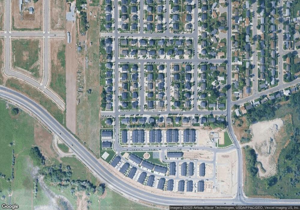
Map
Nearby Homes
- 1799 S 730 W
- 1864 S 730 W Unit 1009
- 658 W 1920 S Unit 1059
- 540 W 1770 S
- 1094 S 450 W
- 354 W 1670 S
- 311 W 1610 S
- 641 W 1280 S
- 1095 S 500 W Unit 11
- 914 W 1150 S Unit 2
- 1956 E 1700 S
- 1951 E 1700 S
- 991 S 500 W
- 939 S Freedom Blvd Unit 11
- 939 S Freedom Blvd Unit 13
- 933 S Blvd W
- 933 S Freedom Blvd Unit 7
- 239 S Meadow Dr Unit 10
- 131 S Meadow Dr Unit 20
- 340 W 920 S Unit 16
- 1799 S 680 W Unit 217
- 1799 S 680 W
- 1812 S 620 W
- 1812 S 620 W Unit LOT225
- 1794 S 620 W Unit LOT224
- 1814 S 680 W Unit 211
- 661 W 1820 S Unit 204
- 675 W 1820 S Unit LOT205
- 1796 S 680 W Unit LOT212
- 1781 S 680 W
- 645 W 1820 S Unit LOT203
- 1776 S 620 W Unit LOT223
- 691 W 1820 S
- 631 W 1820 S
- 1778 S 680 W
- 1815 S 620 W
- 1813 S 730 W Unit 210
- 1759 S 680 W
- 1799 S 730 W Unit 241
- 1797 S 620 W
Your Personal Tour Guide
Ask me questions while you tour the home.