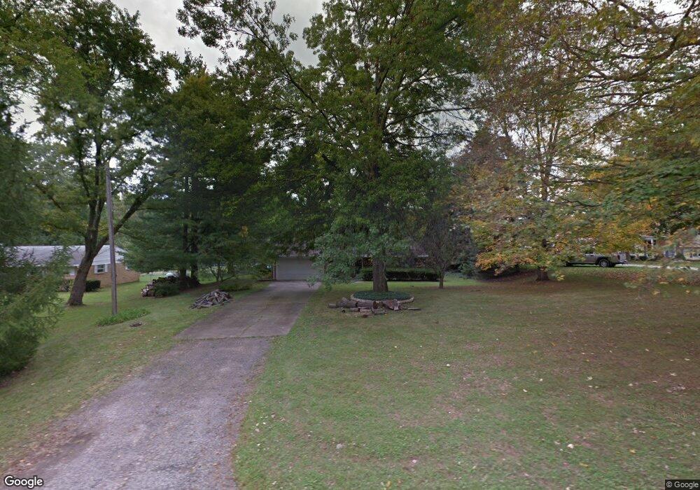
1817 Simison Rd Spring Valley, OH 45370
Estimated Value: $136,000 - $316,000
2
Beds
1
Bath
1,133
Sq Ft
$180/Sq Ft
Est. Value
About This Home
This home is located at 1817 Simison Rd, Spring Valley, OH 45370 and is currently estimated at $204,244, approximately $180 per square foot. 1817 Simison Rd is a home located in Greene County with nearby schools including Xenia High School and Summit Academy Community School for Alternative Learners - Xenia.
Ownership History
Date
Name
Owned For
Owner Type
Purchase Details
Closed on
Dec 2, 2022
Sold by
Eilerman Kevin D and Eilerman Lori J
Bought by
Efp Properties Llc
Current Estimated Value
Purchase Details
Closed on
Mar 28, 2002
Sold by
Eilerman Donald L and Eilerman Norma J
Bought by
Eilerman Kevin D and Eilerman Lori J
Home Financials for this Owner
Home Financials are based on the most recent Mortgage that was taken out on this home.
Original Mortgage
$70,000
Interest Rate
6.93%
Create a Home Valuation Report for This Property
The Home Valuation Report is an in-depth analysis detailing your home's value as well as a comparison with similar homes in the area
Purchase History
| Date | Buyer | Sale Price | Title Company |
|---|---|---|---|
| Efp Properties Llc | -- | -- | |
| Eilerman Kevin D | $100,000 | -- |
Source: Public Records
Mortgage History
| Date | Status | Borrower | Loan Amount |
|---|---|---|---|
| Previous Owner | Eilerman Kevin D | $70,000 |
Source: Public Records
Tax History
| Year | Tax Paid | Tax Assessment Tax Assessment Total Assessment is a certain percentage of the fair market value that is determined by local assessors to be the total taxable value of land and additions on the property. | Land | Improvement |
|---|---|---|---|---|
| 2024 | $2,252 | $43,860 | $8,960 | $34,900 |
| 2023 | $2,234 | $43,860 | $8,960 | $34,900 |
| 2022 | $1,956 | $33,170 | $8,060 | $25,110 |
| 2021 | $1,980 | $33,170 | $8,060 | $25,110 |
| 2020 | $1,818 | $33,170 | $8,060 | $25,110 |
| 2019 | $1,999 | $34,190 | $7,840 | $26,350 |
| 2018 | $1,972 | $34,190 | $7,840 | $26,350 |
| 2017 | $1,859 | $34,190 | $7,840 | $26,350 |
| 2016 | $1,859 | $32,900 | $7,840 | $25,060 |
| 2015 | $1,864 | $32,900 | $7,840 | $25,060 |
| 2014 | $1,790 | $32,900 | $7,840 | $25,060 |
Source: Public Records
Map
Nearby Homes
- 2471 Lower Bellbrook Rd
- 2336 Washington Mill Rd
- 2644 Center Creek Cir
- 196 Mound St
- 1068 Hedges Rd
- 244 Washington Mill Rd
- 1293 Baybury Ave
- 1256 Baybury Ave
- 1253 Baybury Ave
- 1282 Baybury Ave
- 1298 Baybury Ave
- 1304 Baybury Ave
- 1299 Baybury Ave
- 1104 Mcbee Rd
- 1161 Shannon Ln
- 2821 Raxit Ct
- 1254 Prem Place
- 2852 Raxit Ct
- 2795 Kingman Dr
- 45 N East St Unit 45
- 1803 Simison Rd
- 1829 Simison Rd
- 1781 Simison Rd
- 1987 Lower Bellbrook Rd
- 1969 Lower Bellbrook Rd
- 2035 Lower Bellbrook Rd
- 2015 Lower Bellbrook Rd
- 1794 Simison Rd
- 1955 Lower Bellbrook Rd
- 1861 Simison Rd
- 1860 Simison Rd
- 1806 Simison Rd
- 1818 Simison Rd
- 1828 Simison Rd
- 1840 Simison Rd
- 2029 Lower Bellbrook Rd
- 1941 Lower Bellbrook Rd
- 2029 Lower Bellbrook Rd
- 1960 Lower Bellbrook Rd
- 1929 Lower Bellbrook Rd
Your Personal Tour Guide
Ask me questions while you tour the home.