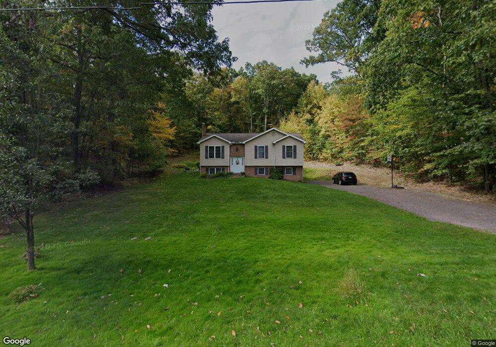
1817 State Route 29 Hwy Hunlock Creek, PA 18621
Estimated Value: $221,000 - $278,083
--
Bed
--
Bath
1,232
Sq Ft
$194/Sq Ft
Est. Value
About This Home
This home is located at 1817 State Route 29 Hwy, Hunlock Creek, PA 18621 and is currently estimated at $239,521, approximately $194 per square foot. 1817 State Route 29 Hwy is a home.
Ownership History
Date
Name
Owned For
Owner Type
Purchase Details
Closed on
Oct 6, 2022
Sold by
Unknown
Bought by
Orlofski Edmund J
Current Estimated Value
Purchase Details
Closed on
Jun 10, 2015
Sold by
Orlofski Edmund and Orlofski Diane
Bought by
Orlofski Edmund and Hurst Diane M
Home Financials for this Owner
Home Financials are based on the most recent Mortgage that was taken out on this home.
Original Mortgage
$139,000
Interest Rate
3.83%
Mortgage Type
New Conventional
Purchase Details
Closed on
Jul 26, 2007
Sold by
Orlofski Edmund and Orlofski Edmund J
Bought by
Orlofski Edmund and Hurst Diane M
Home Financials for this Owner
Home Financials are based on the most recent Mortgage that was taken out on this home.
Original Mortgage
$125,200
Interest Rate
6.74%
Mortgage Type
New Conventional
Create a Home Valuation Report for This Property
The Home Valuation Report is an in-depth analysis detailing your home's value as well as a comparison with similar homes in the area
Home Values in the Area
Average Home Value in this Area
Purchase History
| Date | Buyer | Sale Price | Title Company |
|---|---|---|---|
| Orlofski Edmund J | -- | -- | |
| Orlofski Edmund | -- | Hlc Settlement Services Inc | |
| Orlofski Edmund | -- | None Available |
Source: Public Records
Mortgage History
| Date | Status | Borrower | Loan Amount |
|---|---|---|---|
| Previous Owner | Orlofski Edmund | $139,000 | |
| Previous Owner | Orlofski Edmund | $125,200 |
Source: Public Records
Tax History Compared to Growth
Tax History
| Year | Tax Paid | Tax Assessment Tax Assessment Total Assessment is a certain percentage of the fair market value that is determined by local assessors to be the total taxable value of land and additions on the property. | Land | Improvement |
|---|---|---|---|---|
| 2025 | $4,052 | $183,400 | $37,000 | $146,400 |
| 2024 | $4,029 | $183,400 | $37,000 | $146,400 |
| 2023 | $4,011 | $183,400 | $37,000 | $146,400 |
| 2022 | $3,793 | $183,400 | $37,000 | $146,400 |
| 2021 | $3,640 | $183,400 | $37,000 | $146,400 |
| 2020 | $3,640 | $183,400 | $37,000 | $146,400 |
| 2019 | $3,505 | $183,400 | $37,000 | $146,400 |
| 2018 | $3,362 | $183,400 | $37,000 | $146,400 |
| 2017 | $3,302 | $183,400 | $37,000 | $146,400 |
| 2016 | -- | $183,400 | $37,000 | $146,400 |
| 2015 | -- | $183,400 | $37,000 | $146,400 |
| 2014 | -- | $183,400 | $37,000 | $146,400 |
Source: Public Records
Map
Nearby Homes
- 15 Pearl St
- 983 Swamp Rd
- 141 Sayre Rd
- 641 Sorbertown Hill Rd
- 0 Sunnyside Dr
- 102 Lakeview Dr
- 127 White Oak Dr
- 356 Old Tavern Rd
- 1B & C Hayfield Rd
- 0 Hunlock-Harveyville Rd
- 85 Sorbertown Hill Rd
- 1011 Mill St
- 53 Hunlock-Harveyville Rd
- 7 Sorbertown Hill Rd
- 113 Jackson Rd
- Lot 54 Garden Dr
- 0 Beech St
- 34 Northview Ave
- 41 Northview Ave
- 127 Beaver Dr
- 1797 State Route 29 Hwy
- 1836 Pennsylvania 29
- 2 Virginia Dr
- 1836 State Route 29 Hwy
- 1848 State Route 29 Hwy
- 1825 State Route 29 Hwy
- 70 Lakewood Dr
- 90 Lakewood Dr
- 82 Lakewood Dr
- 1839 State Route 29 Hwy
- 48 Lakewood Dr
- 1805 Pennsylvania 29
- 1848 Pennsylvania 29
- 1806 State Route 29 Hwy
- 30 Lakewood Dr
- 1847 State Route 29 Hwy
- 1805 State Route 29 Hwy
- 1843 State Route 29 Hwy
- 53 Lakewood Dr
- 22 Lakewood Dr