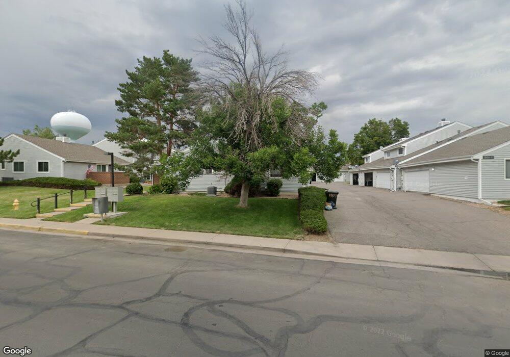
1817 W 102nd Ave Thornton, CO 80260
Estimated Value: $341,000 - $359,000
3
Beds
2
Baths
1,248
Sq Ft
$280/Sq Ft
Est. Value
About This Home
This home is located at 1817 W 102nd Ave, Thornton, CO 80260 and is currently estimated at $350,011, approximately $280 per square foot. 1817 W 102nd Ave is a home located in Adams County with nearby schools including Hillcrest Elementary School, Silver Hills Middle School, and Northglenn High School.
Ownership History
Date
Name
Owned For
Owner Type
Purchase Details
Closed on
Jul 22, 2025
Sold by
Unison Midgard Holdings Llc
Bought by
Rhoda Michael J
Current Estimated Value
Purchase Details
Closed on
Jun 21, 2010
Sold by
Rhoda Donald C and Rhoda Anne T
Bought by
Rhoda Michael J
Purchase Details
Closed on
Oct 6, 1997
Sold by
Hayes Troy S
Bought by
Rhoda Donald C and Rhoda Anne T
Home Financials for this Owner
Home Financials are based on the most recent Mortgage that was taken out on this home.
Original Mortgage
$73,500
Interest Rate
7.49%
Purchase Details
Closed on
Mar 24, 1992
Create a Home Valuation Report for This Property
The Home Valuation Report is an in-depth analysis detailing your home's value as well as a comparison with similar homes in the area
Home Values in the Area
Average Home Value in this Area
Purchase History
| Date | Buyer | Sale Price | Title Company |
|---|---|---|---|
| Rhoda Michael J | -- | None Listed On Document | |
| Rhoda Michael J | -- | None Available | |
| Rhoda Donald C | $105,000 | Land Title | |
| -- | $64,900 | -- |
Source: Public Records
Mortgage History
| Date | Status | Borrower | Loan Amount |
|---|---|---|---|
| Previous Owner | Rhoda Donald C | $73,500 |
Source: Public Records
Tax History Compared to Growth
Tax History
| Year | Tax Paid | Tax Assessment Tax Assessment Total Assessment is a certain percentage of the fair market value that is determined by local assessors to be the total taxable value of land and additions on the property. | Land | Improvement |
|---|---|---|---|---|
| 2024 | $2,329 | $22,370 | $4,560 | $17,810 |
| 2023 | $2,306 | $25,170 | $3,520 | $21,650 |
| 2022 | $2,148 | $18,630 | $3,610 | $15,020 |
| 2021 | $2,219 | $18,630 | $3,610 | $15,020 |
| 2020 | $2,090 | $17,910 | $3,720 | $14,190 |
| 2019 | $2,094 | $17,910 | $3,720 | $14,190 |
| 2018 | $1,743 | $14,470 | $1,440 | $13,030 |
| 2017 | $1,587 | $14,470 | $1,440 | $13,030 |
| 2016 | $1,371 | $12,150 | $1,590 | $10,560 |
| 2015 | $1,369 | $12,150 | $1,590 | $10,560 |
| 2014 | -- | $9,120 | $1,590 | $7,530 |
Source: Public Records
Map
Nearby Homes
- 10143 Quivas St
- 1935 W 102nd Ave
- 10204 Quivas St
- 1945 W 102nd Ave
- 1923 W 101st Ave
- 2025 W 102nd Ave
- 2029 W 102nd Ave
- 2012 W 101st Ave
- 10116 Quivas St
- 2123 W 101st Cir
- 10023 Pecos St
- 2100 W 100th Ave Unit 351
- 2100 W 100th Ave
- 2100 W 100th Ave Unit 124
- 2100 W 100th Ave Unit 347
- 2100 W 100th Ave Unit 357
- 2100 W 100th Ave Unit 73
- 2100 W 100th Ave Unit 94
- 2100 W 100th Ave Unit 59
- 2100 W 100th Ave Unit 166
- 1815 W 102nd Ave
- 1819 W 102nd Ave
- 1821 W 102nd Ave
- 1807 W 102nd Ave
- 1805 W 102nd Ave
- 1825 W 102nd Ave
- 1827 W 102nd Ave
- 1823 W 102nd Ave
- 1803 W 102nd Ave
- 1829 W 102nd Ave
- 1813 W 102nd Ave
- 1801 W 102nd Ave
- 1811 W 102nd Ave
- 1831 W 102nd Ave
- 1839 W 102nd Ave
- 1835 W 102nd Ave
- 1841 W 102nd Ave
- 1741 W 102nd Ave
- 1743 W 102nd Ave
- 1739 W 102nd Ave