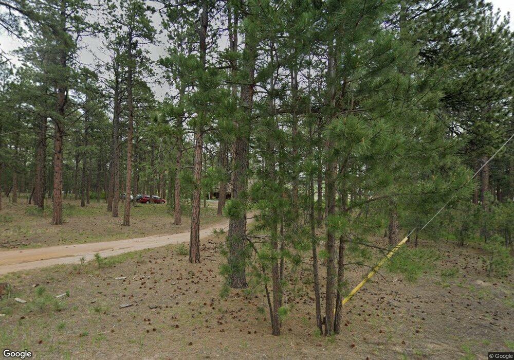
18175 Canterbury Dr Monument, CO 80132
Kings Deer NeighborhoodEstimated Value: $767,000 - $833,000
3
Beds
3
Baths
2,211
Sq Ft
$365/Sq Ft
Est. Value
About This Home
This home is located at 18175 Canterbury Dr, Monument, CO 80132 and is currently estimated at $807,459, approximately $365 per square foot. 18175 Canterbury Dr is a home located in El Paso County with nearby schools including Ray E Kilmer Elementary School, Lewis-Palmer Middle School, and Lewis-Palmer High School.
Ownership History
Date
Name
Owned For
Owner Type
Purchase Details
Closed on
Sep 2, 2003
Sold by
Clark Sandra R
Bought by
Clark Stephen P and Clark Sandra R
Current Estimated Value
Home Financials for this Owner
Home Financials are based on the most recent Mortgage that was taken out on this home.
Original Mortgage
$231,000
Outstanding Balance
$81,307
Interest Rate
2.87%
Mortgage Type
Unknown
Estimated Equity
$726,152
Purchase Details
Closed on
Aug 25, 2003
Sold by
Clark Stephen P and Clark Sandra R
Bought by
Clark Sandra R
Home Financials for this Owner
Home Financials are based on the most recent Mortgage that was taken out on this home.
Original Mortgage
$231,000
Outstanding Balance
$81,307
Interest Rate
2.87%
Mortgage Type
Unknown
Estimated Equity
$726,152
Purchase Details
Closed on
Jun 18, 2001
Sold by
Wells Gregory M and Wells Jennifer M
Bought by
Clark Stephen P and Clark Sandra R
Home Financials for this Owner
Home Financials are based on the most recent Mortgage that was taken out on this home.
Original Mortgage
$229,200
Interest Rate
7.08%
Purchase Details
Closed on
Jun 11, 1999
Sold by
Townsend Laura E and Townsend Marshall A
Bought by
Wells Gregory M and Wells Jennifer M
Home Financials for this Owner
Home Financials are based on the most recent Mortgage that was taken out on this home.
Original Mortgage
$212,850
Interest Rate
7.02%
Purchase Details
Closed on
Jan 26, 1995
Sold by
Gordon Valerie J and Spencer Valerie J Gordon
Bought by
Townsend Laura E and Townsend Marshall A
Home Financials for this Owner
Home Financials are based on the most recent Mortgage that was taken out on this home.
Original Mortgage
$50,000
Interest Rate
9.2%
Purchase Details
Closed on
Apr 28, 1992
Bought by
Clark Stephen P
Purchase Details
Closed on
Oct 3, 1991
Bought by
Clark Stephen P
Purchase Details
Closed on
Dec 21, 1989
Bought by
Clark Stephen P
Purchase Details
Closed on
May 7, 1987
Bought by
Clark Stephen P
Purchase Details
Closed on
Sep 1, 1984
Bought by
Clark Sandra R
Create a Home Valuation Report for This Property
The Home Valuation Report is an in-depth analysis detailing your home's value as well as a comparison with similar homes in the area
Home Values in the Area
Average Home Value in this Area
Purchase History
| Date | Buyer | Sale Price | Title Company |
|---|---|---|---|
| Clark Stephen P | -- | -- | |
| Clark Sandra R | -- | -- | |
| Clark Stephen P | $286,500 | Security Title | |
| Wells Gregory M | $236,500 | Security Title | |
| Townsend Laura E | $179,000 | Unified Title Co Inc | |
| Clark Stephen P | $129,200 | -- | |
| Clark Stephen P | -- | -- | |
| Clark Stephen P | $134,400 | -- | |
| Clark Stephen P | -- | -- | |
| Clark Sandra R | -- | -- |
Source: Public Records
Mortgage History
| Date | Status | Borrower | Loan Amount |
|---|---|---|---|
| Open | Clark Sandra R | $231,000 | |
| Closed | Clark Stephen P | $229,200 | |
| Previous Owner | Wells Gregory M | $212,850 | |
| Previous Owner | Townsend Laura E | $50,000 |
Source: Public Records
Tax History Compared to Growth
Tax History
| Year | Tax Paid | Tax Assessment Tax Assessment Total Assessment is a certain percentage of the fair market value that is determined by local assessors to be the total taxable value of land and additions on the property. | Land | Improvement |
|---|---|---|---|---|
| 2025 | $3,305 | $58,680 | -- | -- |
| 2024 | $3,196 | $54,040 | $17,300 | $36,740 |
| 2023 | $3,196 | $54,040 | $17,300 | $36,740 |
| 2022 | $2,480 | $36,660 | $13,380 | $23,280 |
| 2021 | $2,567 | $37,720 | $13,770 | $23,950 |
| 2020 | $2,297 | $32,370 | $11,980 | $20,390 |
| 2019 | $2,285 | $32,370 | $11,980 | $20,390 |
| 2018 | $2,070 | $27,770 | $10,620 | $17,150 |
| 2017 | $2,070 | $27,770 | $10,620 | $17,150 |
| 2016 | $1,975 | $28,300 | $11,350 | $16,950 |
| 2015 | $1,973 | $28,300 | $11,350 | $16,950 |
| 2014 | $2,065 | $28,300 | $11,350 | $16,950 |
Source: Public Records
Map
Nearby Homes
- 17990 Canterbury Dr
- 18040 Saddlewood Rd
- 17850 Canterbury Dr
- 17895 Queensmere Dr
- 4166 Mesa Top Dr
- 18561 Cherry Springs Ranch Dr
- 17695 Roller Coaster Rd
- 1360 Trumpeters Ct E
- 1325 Boldmere Ct
- 17940 Appaloosa Rd
- 18525 Glenthorne Ln
- 17815 Saddlewood Rd
- 2585 Mohawk Way
- 1260 Scottswood Dr
- 18905 Brockenbury Ct
- 18050 Archers Dr
- 19089 Malmsbury Ct
- 1045 E Highway 105
- 710 Caspian Ct W
- 18095 Canterbury Dr
- 18285 Canterbury Dr
- 18180 Canterbury Dr
- 2085 Charros Loop
- 18130 Canterbury Dr
- 18290 Canterbury Dr
- 2115 Charros Loop
- 18375 Canterbury Dr
- 18060 Canterbury Dr
- 18215 Roller Coaster Rd
- 18045 Canterbury Dr
- 18065 Saddlewood Rd
- 18380 Canterbury Dr
- 2110 Charros Loop
- 18285 Roller Coaster Rd
- 17985 Canterbury Dr
- 18135 Roller Coaster Rd
- 18055 Roller Coaster Rd
- 18475 Canterbury Dr
- 2155 E Highway 105
