1818 Baltusrol Trail Unit 6A Duluth, GA 30097
Estimated Value: $916,297 - $968,000
4
Beds
4
Baths
3,678
Sq Ft
$254/Sq Ft
Est. Value
About This Home
This home is located at 1818 Baltusrol Trail Unit 6A, Duluth, GA 30097 and is currently estimated at $935,074, approximately $254 per square foot. 1818 Baltusrol Trail Unit 6A is a home located in Gwinnett County with nearby schools including Parsons Elementary School, Hull Middle School, and Peachtree Ridge High School.
Ownership History
Date
Name
Owned For
Owner Type
Purchase Details
Closed on
Dec 31, 2003
Sold by
John Wieland Hms & Ngbhds Inc
Bought by
Adams Melissa B and Adams Eric
Current Estimated Value
Home Financials for this Owner
Home Financials are based on the most recent Mortgage that was taken out on this home.
Original Mortgage
$230,000
Interest Rate
5.11%
Mortgage Type
New Conventional
Create a Home Valuation Report for This Property
The Home Valuation Report is an in-depth analysis detailing your home's value as well as a comparison with similar homes in the area
Home Values in the Area
Average Home Value in this Area
Purchase History
| Date | Buyer | Sale Price | Title Company |
|---|---|---|---|
| Adams Melissa B | $481,900 | -- |
Source: Public Records
Mortgage History
| Date | Status | Borrower | Loan Amount |
|---|---|---|---|
| Closed | Adams Melissa B | $230,000 |
Source: Public Records
Tax History Compared to Growth
Tax History
| Year | Tax Paid | Tax Assessment Tax Assessment Total Assessment is a certain percentage of the fair market value that is determined by local assessors to be the total taxable value of land and additions on the property. | Land | Improvement |
|---|---|---|---|---|
| 2025 | $11,031 | $404,880 | $60,120 | $344,760 |
| 2024 | $9,863 | $335,120 | $76,000 | $259,120 |
| 2023 | $9,863 | $335,120 | $76,000 | $259,120 |
| 2022 | $8,833 | $286,080 | $56,000 | $230,080 |
| 2021 | $7,609 | $220,200 | $44,000 | $176,200 |
| 2020 | $7,661 | $220,200 | $44,000 | $176,200 |
| 2019 | $7,408 | $220,200 | $44,000 | $176,200 |
| 2018 | $7,196 | $209,440 | $40,000 | $169,440 |
| 2016 | $7,088 | $205,840 | $40,000 | $165,840 |
| 2015 | $7,161 | $205,840 | $40,000 | $165,840 |
| 2014 | $6,311 | $173,480 | $36,800 | $136,680 |
Source: Public Records
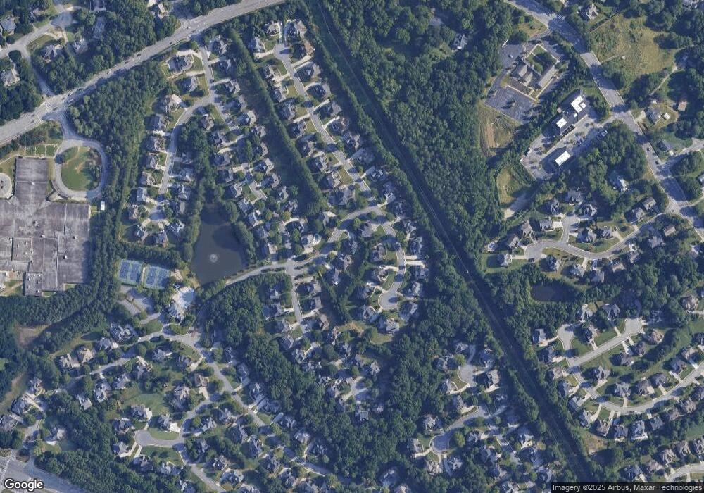
Map
Nearby Homes
- 3184 Islesworth Trace
- 1806 Royal Troon Ct
- 1760 Berkshire Hill Dr
- 3068 Prestwyck Haven Dr
- 1658 Walden Pond Rd
- 2011 Old Peachtree Rd NW
- 3258 Bransley Way
- 2017 Parsons Ridge Cir
- 3429 Parsons Ridge Ln
- 3505 Stately Oaks Ln Unit 3
- 3448 Parsons Ridge Ln
- 1752 Mitzi Ct
- 3473 Stoneham Dr
- 2569 Wynnton Dr
- 2245 Taylor Grady Terrace
- 1800 Sugarloaf Club Dr
- 1602 Belmont Creek Pointe
- 2035 Kyrle Ln NW
- 1828 Baltusrol Trail
- 3216 Birkdale Ave
- 3196 Birkdale Ave
- 3176 Birkdale Ave Unit 6A
- 1838 Baltusrol Trail
- 0 Baltusrol Trail Unit 7040312
- 1811 Baltusrol Trail Unit 6A
- 3267 Isleworth Trace
- 3267 Islesworth Trace Unit 248
- 3267 Islesworth Trace
- 3166 Birkdale Ave
- 3236 Birkdale Ave Unit 6A
- 3257 Islesworth Trace Unit 2
- 3277 Islesworth Trace Unit 249
- 3217 Birkdale Ave
- 3207 Birkdale Ave Unit 6A
- 1839 Baltusrol Trail
- 3227 Birkdale Ave
- 3237 Islesworth Trace Unit 2
- 3197 Birkdale Ave