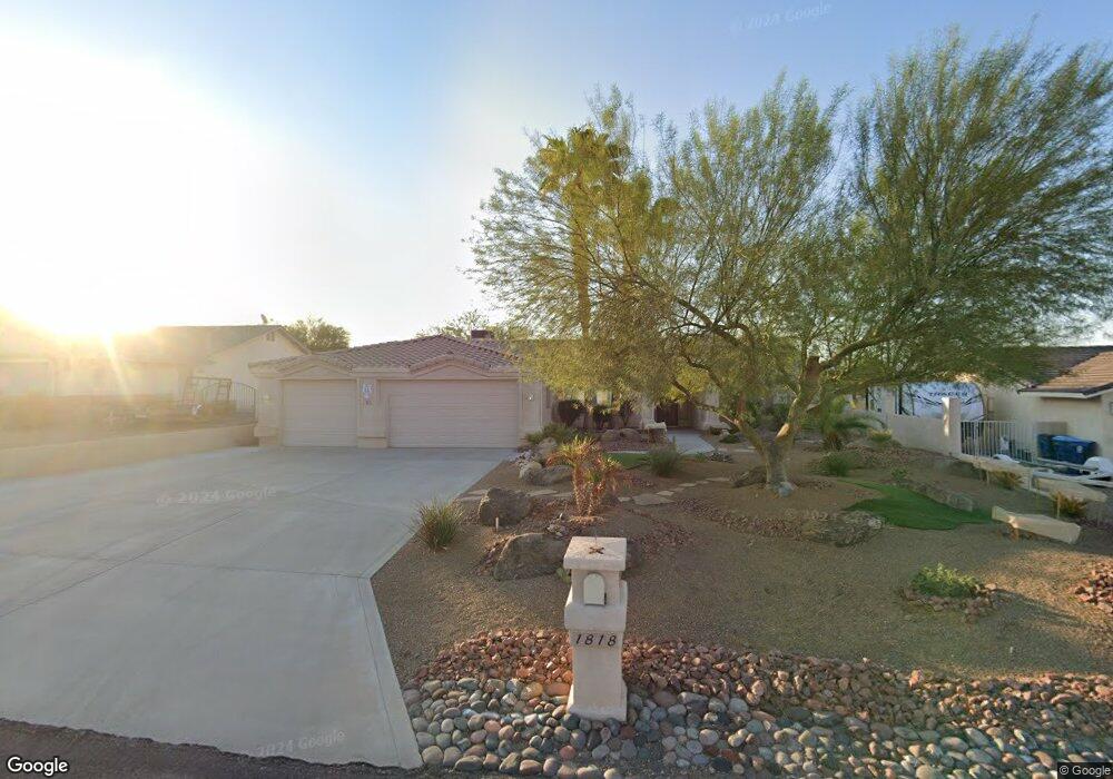
1818 Combat Dr Lake Havasu City, AZ 86403
Estimated Value: $510,978 - $640,000
3
Beds
2
Baths
1,854
Sq Ft
$322/Sq Ft
Est. Value
About This Home
This home is located at 1818 Combat Dr, Lake Havasu City, AZ 86403 and is currently estimated at $596,995, approximately $322 per square foot. 1818 Combat Dr is a home located in Mohave County with nearby schools including Starline Elementary School, Thunderbolt Middle School, and Lake Havasu High School.
Ownership History
Date
Name
Owned For
Owner Type
Purchase Details
Closed on
Feb 3, 2009
Sold by
Deutsche Bank National Trust Company
Bought by
Norwick John and Norwick Terri
Current Estimated Value
Home Financials for this Owner
Home Financials are based on the most recent Mortgage that was taken out on this home.
Original Mortgage
$200,000
Interest Rate
5.15%
Mortgage Type
New Conventional
Purchase Details
Closed on
Aug 7, 2008
Sold by
Ropchak Anne B
Bought by
Deutsche Bank National Trust Co
Purchase Details
Closed on
Oct 2, 2007
Sold by
Ropchak April D
Bought by
Ropchak Guy A and Ropchak Anne B
Purchase Details
Closed on
Apr 8, 1999
Sold by
Ropchak Anne B
Bought by
Ropchak Anne B
Home Financials for this Owner
Home Financials are based on the most recent Mortgage that was taken out on this home.
Original Mortgage
$47,650
Interest Rate
7.04%
Create a Home Valuation Report for This Property
The Home Valuation Report is an in-depth analysis detailing your home's value as well as a comparison with similar homes in the area
Home Values in the Area
Average Home Value in this Area
Purchase History
| Date | Buyer | Sale Price | Title Company |
|---|---|---|---|
| Norwick John | $255,000 | American Title Service Agenc | |
| Deutsche Bank National Trust Co | $303,062 | Security Title Agency | |
| Ropchak Guy A | -- | First American Title Ins Co | |
| Ropchak Anne B | -- | Transnation Title Ins Co |
Source: Public Records
Mortgage History
| Date | Status | Borrower | Loan Amount |
|---|---|---|---|
| Previous Owner | Norwick John | $200,000 | |
| Previous Owner | Ropchak Anne B | $47,650 |
Source: Public Records
Tax History Compared to Growth
Tax History
| Year | Tax Paid | Tax Assessment Tax Assessment Total Assessment is a certain percentage of the fair market value that is determined by local assessors to be the total taxable value of land and additions on the property. | Land | Improvement |
|---|---|---|---|---|
| 2026 | -- | -- | -- | -- |
| 2025 | $2,089 | $41,212 | $0 | $0 |
| 2024 | $2,089 | $50,226 | $0 | $0 |
| 2023 | $2,089 | $38,068 | $0 | $0 |
| 2022 | $1,999 | $31,820 | $0 | $0 |
| 2021 | $2,178 | $27,778 | $0 | $0 |
| 2019 | $2,068 | $24,903 | $0 | $0 |
| 2018 | $1,997 | $24,148 | $0 | $0 |
| 2017 | $1,978 | $23,492 | $0 | $0 |
| 2016 | $1,789 | $21,819 | $0 | $0 |
| 2015 | $1,713 | $20,319 | $0 | $0 |
Source: Public Records
Map
Nearby Homes
- 1827 Combat Dr
- 371 Cottonwood Dr
- 1852 Montana Vista Unit B
- 1711 Combat Dr Unit 12
- 500 Lake Havasu Ave S Unit A12
- 1840 Montana Vista Unit D
- 1838 Montana Vista Unit C
- 220 White Oak Dr
- 1884 Montana Vista Unit 63B
- 1881 Pinion Tree Dr
- 1958 Montana Vista Unit D
- 1824 Montana Vista Unit D
- 1723 Montana Vista Unit D
- 1793 Montana Vista Unit C
- 190 Aspen Dr
- 2041 Oak Dr
- 1786 Los Lagos Dr Unit A
- 160 Aspen Dr
- 565 Jones Dr Unit 3b
- 539 Burkemo Ln Unit A1
- 1820 Combat Dr
- 1816 Combat Dr
- 1822 Combat Dr
- 1814 Combat Dr
- 1813 Combat Dr
- 391 Mulberry Ln
- 381 Mulberry Ln
- 1811 Combat Dr
- 1815 Combat Dr
- 1824 Combat Dr
- 1812 Combat Dr
- 421 Mulberry Ave
- 1809 Combat Dr
- 351 Mulberry Ave
- 401 Mulberry Ave
- 1812 Ambas Dr
- 1817 Combat Dr
- 1817 Combat Dr
- 431 Mulberry Ave
- 1816 Ambas Dr