1818 Flintlock Cir Lansdale, PA 19446
Estimated Value: $547,000 - $586,000
3
Beds
3
Baths
2,234
Sq Ft
$253/Sq Ft
Est. Value
About This Home
This home is located at 1818 Flintlock Cir, Lansdale, PA 19446 and is currently estimated at $565,010, approximately $252 per square foot. 1818 Flintlock Cir is a home located in Montgomery County with nearby schools including Gwynedd Square Elementary School, Penndale Middle School, and North Penn Senior High School.
Ownership History
Date
Name
Owned For
Owner Type
Purchase Details
Closed on
Feb 5, 1998
Sold by
Malony Robert S and Nelson Pamela M
Bought by
Malony Robert S and Nelson Pamela M
Current Estimated Value
Purchase Details
Closed on
Jun 30, 1997
Sold by
Volksdorf Sylvia R
Bought by
Malony Robert S and Nelson Pamela M
Create a Home Valuation Report for This Property
The Home Valuation Report is an in-depth analysis detailing your home's value as well as a comparison with similar homes in the area
Home Values in the Area
Average Home Value in this Area
Purchase History
| Date | Buyer | Sale Price | Title Company |
|---|---|---|---|
| Malony Robert S | -- | -- | |
| Malony Robert S | $175,000 | -- |
Source: Public Records
Tax History Compared to Growth
Tax History
| Year | Tax Paid | Tax Assessment Tax Assessment Total Assessment is a certain percentage of the fair market value that is determined by local assessors to be the total taxable value of land and additions on the property. | Land | Improvement |
|---|---|---|---|---|
| 2025 | $6,841 | $168,880 | $50,130 | $118,750 |
| 2024 | $6,841 | $168,880 | $50,130 | $118,750 |
| 2023 | $6,551 | $168,880 | $50,130 | $118,750 |
| 2022 | $6,149 | $168,880 | $50,130 | $118,750 |
| 2021 | $5,971 | $168,880 | $50,130 | $118,750 |
| 2020 | $5,700 | $168,880 | $50,130 | $118,750 |
| 2019 | $5,601 | $168,880 | $50,130 | $118,750 |
| 2018 | $1,122 | $168,880 | $50,130 | $118,750 |
| 2017 | $5,378 | $168,880 | $50,130 | $118,750 |
| 2016 | $5,312 | $168,880 | $50,130 | $118,750 |
| 2015 | $5,090 | $168,880 | $50,130 | $118,750 |
| 2014 | $5,090 | $168,880 | $50,130 | $118,750 |
Source: Public Records
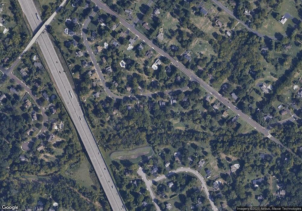
Map
Nearby Homes
- 1653 Bridle Path Dr
- 172 Oberlin Terrace
- 1040 Hunter Hill Dr
- 144 Oberlin Terrace Unit 15-B
- 177 Oberlin Terrace Unit 18-L
- 210 Berwick Place Unit 20E
- 1808 Beth Ln
- 980 Jacks Ln
- 1627 Clearbrook Rd
- 108 Hickory Ct
- 911 Tricorn Dr
- 1959 Supplee Rd
- 2272 Locust Dr
- 1381 Village Way
- 2234 Locust Dr
- 1622 Samantha Ct
- 846 Fulton Ave
- 1231 Meadowview Cir
- 2806 Morris Rd
- 109 Durham Ct
- 1812 Flintlock Cir
- 1824 Flintlock Cir
- 1806 Flintlock Cir
- 1830 Flintlock Cir
- 1815 Flintlock Cir
- 1805 Flintlock Cir
- 1804 Flintlock Cir
- 1825 Flintlock Cir
- 1801 Flintlock Cir
- 1836 Flintlock Cir
- 1250 Anders Rd
- 1835 Flintlock Cir
- 1260 Anders Rd
- 1800 Flintlock Cir
- 1842 Flintlock Cir
- 1270 Anders Rd
- 1201 Archer Ln
- 1221 Archer Ln
- 1220 Anders Rd
- 1845 Flintlock Cir