1818 Manchester Way Unit M1 Myrtle Beach, SC 29575
South Myrtle Beach NeighborhoodEstimated Value: $327,846 - $353,000
3
Beds
2
Baths
1,776
Sq Ft
$193/Sq Ft
Est. Value
About This Home
This home is located at 1818 Manchester Way Unit M1, Myrtle Beach, SC 29575 and is currently estimated at $342,962, approximately $193 per square foot. 1818 Manchester Way Unit M1 is a home located in Horry County with nearby schools including Lakewood Elementary, Socastee Middle, and Socastee High School.
Ownership History
Date
Name
Owned For
Owner Type
Purchase Details
Closed on
Apr 12, 2004
Sold by
Seacoast Properties Inc
Bought by
Needham Richard L and Needham Tammy G
Current Estimated Value
Purchase Details
Closed on
Sep 23, 2002
Sold by
Seacoast Properties Inc
Bought by
Needham Richard L and Needham Tammy G
Home Financials for this Owner
Home Financials are based on the most recent Mortgage that was taken out on this home.
Original Mortgage
$131,500
Interest Rate
6.27%
Mortgage Type
Purchase Money Mortgage
Create a Home Valuation Report for This Property
The Home Valuation Report is an in-depth analysis detailing your home's value as well as a comparison with similar homes in the area
Home Values in the Area
Average Home Value in this Area
Purchase History
| Date | Buyer | Sale Price | Title Company |
|---|---|---|---|
| Needham Richard L | -- | -- | |
| Needham Richard L | $181,500 | -- |
Source: Public Records
Mortgage History
| Date | Status | Borrower | Loan Amount |
|---|---|---|---|
| Previous Owner | Needham Richard L | $131,500 |
Source: Public Records
Tax History Compared to Growth
Tax History
| Year | Tax Paid | Tax Assessment Tax Assessment Total Assessment is a certain percentage of the fair market value that is determined by local assessors to be the total taxable value of land and additions on the property. | Land | Improvement |
|---|---|---|---|---|
| 2024 | $772 | $18,774 | $0 | $18,774 |
| 2023 | $772 | $21,525 | $0 | $21,525 |
| 2021 | $676 | $21,525 | $0 | $21,525 |
| 2020 | $584 | $21,525 | $0 | $21,525 |
| 2019 | $584 | $21,525 | $0 | $21,525 |
| 2018 | $517 | $19,110 | $0 | $19,110 |
| 2017 | $502 | $19,110 | $0 | $19,110 |
| 2016 | $0 | $19,110 | $0 | $19,110 |
| 2015 | -- | $7,280 | $0 | $7,280 |
| 2014 | $629 | $7,280 | $0 | $7,280 |
Source: Public Records
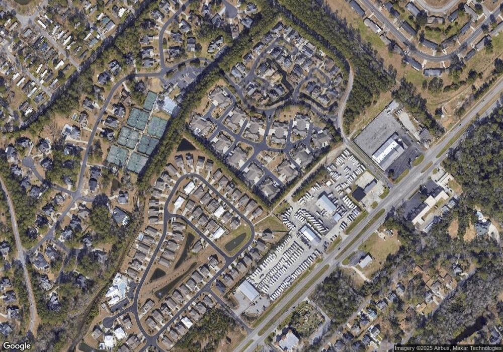
Map
Nearby Homes
- 2019 Balfour Ct Unit L-4
- 183 Coral Beach Cir
- 5036 S Kings Hwy Unit 5036
- 4811 S Kings Hwy
- 5308 S Kings Hwy Unit 5308
- 4907 Woodview Ln
- 1517 Pisces Ln
- 324 Saint Catherine Bay Ct
- 361 Saint Catherine Bay Ct Unit 361
- 4909 Yaupon Cir
- 3766 Spruce Dr Unit 3766
- 2700 Capricorn Dr
- 2737 Capricorn Dr
- 5211 S Kings Hwy Unit 5211
- 2705 Capricorn Dr
- 539 Redwood Ave Unit 539
- 5614 S Kings Hwy Unit 5614 Tern Dr
- 5644 S Kings Hwy
- 3645 Cypress Cir Unit 3645
- 2729 Libra Dr
- 1822 Manchester Way Unit M2
- 2011 Balfour Ct Unit M4
- 2007 Balfour Ct Unit Manchester Place
- 2007 Balfour Ct Unit M3
- 2019 Balfour Ct Unit 2019 Manchester Plac
- 2019 Balfour Ct
- 2015 Balfour Ct
- 2015 Balfour Ct Unit L1
- 2015 Balfour Ct Unit L4
- 2015 Balfour Ct Unit L3
- 2015 Balfour Ct Unit L2
- 1823 Manchester Way Unit F-3
- 225 Coral Beach Cir
- 225 Coral Beach Cir Unit Lot 59
- 1925 Rimsdale Dr Unit F-1 Manchester Place
- 1925 Rimsdale Dr Unit Manchester Place
- 1925 Rimsdale Dr Unit F-1
- 221 Coral Beach Cir
- 221 Coral Beach Cir Unit Lot 58 Garrett A
- 221 Coral Beach Cir Unit Ocean Walk