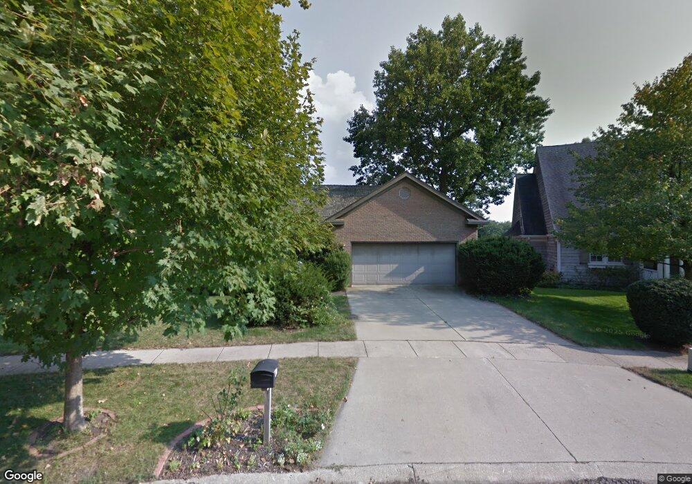
1818 Maynard Dr Champaign, IL 61822
Estimated Value: $504,000 - $684,000
4
Beds
3
Baths
4,013
Sq Ft
$145/Sq Ft
Est. Value
About This Home
This home is located at 1818 Maynard Dr, Champaign, IL 61822 and is currently estimated at $580,397, approximately $144 per square foot. 1818 Maynard Dr is a home located in Champaign County with nearby schools including Centennial High School, Countryside School, and Swann Special Care Center-Elem/Secondary School.
Ownership History
Date
Name
Owned For
Owner Type
Purchase Details
Closed on
Oct 10, 2019
Sold by
Miner Debra J and Estate Of Ronald L Miner
Bought by
Pate Gregory J and Graebner Melissa E
Current Estimated Value
Home Financials for this Owner
Home Financials are based on the most recent Mortgage that was taken out on this home.
Original Mortgage
$275,000
Outstanding Balance
$183,337
Interest Rate
3.5%
Mortgage Type
New Conventional
Estimated Equity
$397,060
Purchase Details
Closed on
May 26, 2017
Sold by
Conrad Edward H and Conrad Carolyn C
Bought by
Miner Ronald L
Purchase Details
Closed on
Nov 1, 2013
Sold by
Conrad Carolyn C
Bought by
Conrad H Edward and Conrad Carolyn C
Create a Home Valuation Report for This Property
The Home Valuation Report is an in-depth analysis detailing your home's value as well as a comparison with similar homes in the area
Purchase History
| Date | Buyer | Sale Price | Title Company |
|---|---|---|---|
| Pate Gregory J | $475,000 | None Available | |
| Miner Ronald L | $390,000 | None Available | |
| Conrad H Edward | -- | None Available |
Source: Public Records
Mortgage History
| Date | Status | Borrower | Loan Amount |
|---|---|---|---|
| Open | Pate Gregory J | $275,000 |
Source: Public Records
Tax History
| Year | Tax Paid | Tax Assessment Tax Assessment Total Assessment is a certain percentage of the fair market value that is determined by local assessors to be the total taxable value of land and additions on the property. | Land | Improvement |
|---|---|---|---|---|
| 2024 | $10,083 | $155,280 | $44,620 | $110,660 |
| 2023 | $10,083 | $143,380 | $41,200 | $102,180 |
| 2022 | $9,628 | $133,750 | $38,430 | $95,320 |
| 2021 | $9,255 | $131,380 | $37,750 | $93,630 |
| 2020 | $9,179 | $130,080 | $37,380 | $92,700 |
| 2019 | $8,883 | $127,910 | $36,760 | $91,150 |
| 2018 | $8,622 | $124,460 | $36,760 | $87,700 |
| 2017 | $7,977 | $120,380 | $36,760 | $83,620 |
| 2016 | $6,926 | $117,090 | $36,760 | $80,330 |
| 2015 | $6,563 | $117,090 | $36,760 | $80,330 |
| 2014 | $6,517 | $108,760 | $36,760 | $72,000 |
| 2013 | $6,408 | $108,760 | $36,760 | $72,000 |
Source: Public Records
Map
Nearby Homes
- 3120 Moraine Dr
- 1850 Maynard Dr
- 3510 S Duncan Rd
- 1610 Stratford Dr
- 2605 Trafalgar Square
- 1309 Maplepark Dr
- 2704 W Kirby Ave
- 1914 Woodfield Rd
- 2703 Lawndale Dr
- 2612 W Kirby Ave
- 1914 Trout Valley Dr
- 2705 Willowpark Dr
- 2504 Hathaway Dr
- 2812 Alton Dr
- 2205 Edgewater Place
- 2401 Arden Dr
- 4002 Lakepoint Rd
- 1904 Scottsdale Dr
- 2104 Morningview Place
- 1601 Carolyn Dr
- 1822 Maynard Dr
- 1814 Maynard Dr
- 1826 Maynard Dr
- 1810 Maynard Dr
- 1817 Maynard Dr
- 1813 Maynard Dr
- 1830 Maynard Dr
- 1806 Maynard Dr
- 1821 Maynard Dr
- 1834 Maynard Dr
- 1809 Maynard Dr
- 2 Moraine Ct
- 1800 Maynard Dr
- 1838 Maynard Dr
- 1808 Bridgestone Dr
- 1825 Moraine Dr
- 1821 Moraine Dr
- 1829 Moraine Dr
- 1829 Maynard Dr
- 1817 Moraine Dr
Your Personal Tour Guide
Ask me questions while you tour the home.