1818 Riverland Dr Columbus, GA 31903
Southern Columbus NeighborhoodEstimated Value: $73,000 - $104,000
3
Beds
3
Baths
1,156
Sq Ft
$78/Sq Ft
Est. Value
About This Home
This home is located at 1818 Riverland Dr, Columbus, GA 31903 and is currently estimated at $90,134, approximately $77 per square foot. 1818 Riverland Dr is a home located in Muscogee County with nearby schools including South Columbus Elementary School, Eddy Middle School, and Spencer High School.
Ownership History
Date
Name
Owned For
Owner Type
Purchase Details
Closed on
Nov 8, 2013
Sold by
Turman Frankie E
Bought by
Turman Frankie E and Turman Robert D
Current Estimated Value
Purchase Details
Closed on
May 7, 2013
Sold by
Bank Of America
Bought by
Sec Of Housing & Urban
Purchase Details
Closed on
Feb 1, 2010
Sold by
Upshaw Bobby L
Bought by
Upshaw Genevin O
Create a Home Valuation Report for This Property
The Home Valuation Report is an in-depth analysis detailing your home's value as well as a comparison with similar homes in the area
Home Values in the Area
Average Home Value in this Area
Purchase History
| Date | Buyer | Sale Price | Title Company |
|---|---|---|---|
| Turman Frankie E | -- | -- | |
| Turman Frankie E | $24,500 | -- | |
| Sec Of Housing & Urban | $85,356 | -- | |
| Bank Of America | $85,356 | -- | |
| Upshaw Genevin O | -- | None Available |
Source: Public Records
Tax History Compared to Growth
Tax History
| Year | Tax Paid | Tax Assessment Tax Assessment Total Assessment is a certain percentage of the fair market value that is determined by local assessors to be the total taxable value of land and additions on the property. | Land | Improvement |
|---|---|---|---|---|
| 2025 | $928 | $23,696 | $4,664 | $19,032 |
| 2024 | $928 | $23,696 | $4,664 | $19,032 |
| 2023 | $933 | $23,696 | $4,664 | $19,032 |
| 2022 | $946 | $23,172 | $4,664 | $18,508 |
| 2021 | $878 | $21,492 | $4,664 | $16,828 |
| 2020 | $878 | $21,492 | $4,664 | $16,828 |
| 2019 | $881 | $21,492 | $4,664 | $16,828 |
| 2018 | $881 | $21,492 | $4,664 | $16,828 |
| 2017 | $883 | $21,492 | $4,664 | $16,828 |
| 2016 | $404 | $9,800 | $2,973 | $6,827 |
| 2015 | $405 | $9,800 | $2,973 | $6,827 |
| 2014 | $162 | $9,800 | $2,973 | $6,827 |
| 2013 | -- | $15,220 | $2,973 | $12,247 |
Source: Public Records
Map
Nearby Homes
- 3009 Plantation Rd
- 2463 Brownie St
- 2973 Hawthorne Dr
- 3015 Hendrix St
- 3042 Colonial Dr
- 2102 Somerset Ave
- 2451 Brownie Ln
- 1274 Providence Ln
- 2463 Brownie Ln
- 2309 Ginny Ave
- 2203 Simmons Ave
- 2313 Dorothy Ave
- 3110 Victory Dr
- 2317 Sharon Ave
- 2425 Howe Ave
- 2333 Bruce Ave
- 3026 Victory Dr
- 3135 Baker Cir
- 2846 Walker St
- 1029 Harbison Dr
- 1812 Riverland Dr
- 2707 Ramsey Rd
- 2704 Ramsey Rd
- 2708 Ramsey Rd
- 1804 Riverland Dr
- 2711 Ramsey Rd
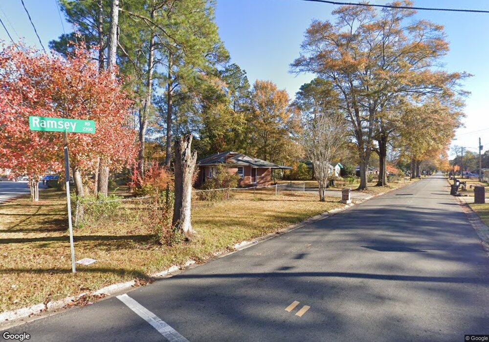
- 2700 Ramsey Rd
- 2710 Ramsey Rd
- 2706 Hawthorne Dr
- 2714 Ramsey Rd
- 2712 Hawthorne Dr
- 2719 Ramsey Rd
- 2839 Avondale Rd
- 2718 Ramsey Rd
- 2718 Hawthorne Dr
- 2843 Avondale Rd
- 2723 Ramsey Rd
- 2847 Avondale Rd
- 2722 Ramsey Rd
- 2724 Hawthorne Dr