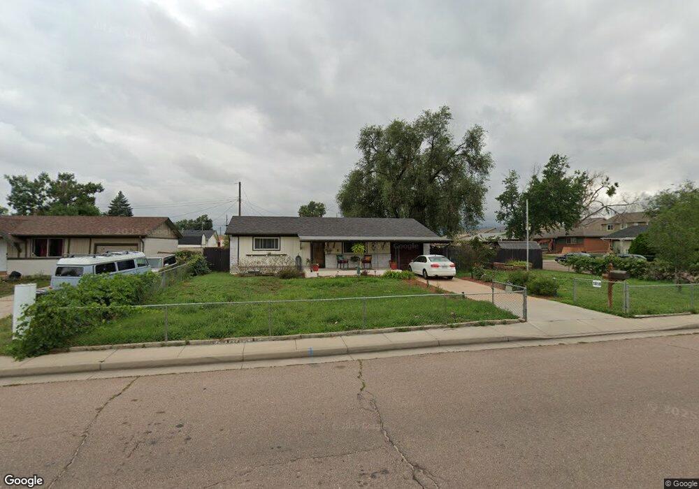
1818 Security Blvd Colorado Springs, CO 80911
Security-Widefield NeighborhoodEstimated Value: $354,701 - $379,000
4
Beds
1
Bath
913
Sq Ft
$404/Sq Ft
Est. Value
About This Home
This home is located at 1818 Security Blvd, Colorado Springs, CO 80911 and is currently estimated at $368,675, approximately $403 per square foot. 1818 Security Blvd is a home located in El Paso County with nearby schools including Pinello Elementary School, Sproul Junior High School, and Widefield High School.
Ownership History
Date
Name
Owned For
Owner Type
Purchase Details
Closed on
Oct 12, 2022
Sold by
Sanghera Satnam Kaur and Sanghera Ramandeep Kaur
Bought by
Sanghera Family Trust and Sanghera
Current Estimated Value
Purchase Details
Closed on
Jan 18, 2022
Sold by
Satnam Sanghera
Bought by
Sanghera Satnam and Sanghera Ramandeep Kaur
Purchase Details
Closed on
Jul 2, 2021
Sold by
Nelson David and Nelson Vicki L
Bought by
Sanghera Satnam
Purchase Details
Closed on
Sep 12, 2016
Sold by
Baker Roberts Karen L
Bought by
Nelson David and Nelson Vicki L
Home Financials for this Owner
Home Financials are based on the most recent Mortgage that was taken out on this home.
Original Mortgage
$181,649
Interest Rate
3.87%
Mortgage Type
FHA
Purchase Details
Closed on
Sep 16, 2003
Sold by
Kelley James F and Kelley Mary J
Bought by
Baker Roberts Karen L
Home Financials for this Owner
Home Financials are based on the most recent Mortgage that was taken out on this home.
Original Mortgage
$145,000
Interest Rate
6.22%
Mortgage Type
VA
Create a Home Valuation Report for This Property
The Home Valuation Report is an in-depth analysis detailing your home's value as well as a comparison with similar homes in the area
Home Values in the Area
Average Home Value in this Area
Purchase History
| Date | Buyer | Sale Price | Title Company |
|---|---|---|---|
| Sanghera Family Trust | -- | None Listed On Document | |
| Sanghera Satnam | -- | First American Mortgage Soluti | |
| Sanghera Satnam | $365,000 | Guardian Title | |
| Nelson David | $185,000 | Land Title Guarantee | |
| Baker Roberts Karen L | $145,000 | Chicago Title Co |
Source: Public Records
Mortgage History
| Date | Status | Borrower | Loan Amount |
|---|---|---|---|
| Previous Owner | Nelson David | $181,649 | |
| Previous Owner | Baker Roberts Karen L | $145,000 |
Source: Public Records
Tax History Compared to Growth
Tax History
| Year | Tax Paid | Tax Assessment Tax Assessment Total Assessment is a certain percentage of the fair market value that is determined by local assessors to be the total taxable value of land and additions on the property. | Land | Improvement |
|---|---|---|---|---|
| 2025 | $1,539 | $24,510 | -- | -- |
| 2024 | $1,479 | $24,480 | $3,220 | $21,260 |
| 2023 | $1,479 | $24,480 | $3,220 | $21,260 |
| 2022 | $1,384 | $18,540 | $2,220 | $16,320 |
| 2021 | $1,493 | $19,080 | $2,290 | $16,790 |
| 2020 | $1,173 | $14,560 | $2,000 | $12,560 |
| 2019 | $1,166 | $14,560 | $2,000 | $12,560 |
| 2018 | $895 | $10,430 | $1,500 | $8,930 |
| 2017 | $905 | $10,430 | $1,500 | $8,930 |
| 2016 | $738 | $10,380 | $1,590 | $8,790 |
| 2015 | $756 | $10,380 | $1,590 | $8,790 |
| 2014 | $697 | $9,600 | $1,430 | $8,170 |
Source: Public Records
Map
Nearby Homes
- 4027 Silver Star Grove
- 4020 Silver Star Grove
- 105 Larch Dr
- 93 Sumac Dr
- 124 Sumac Dr
- 213 Sumac Dr
- 4634 Cassidy St
- 4666 Hennings Dr
- 4658 Hennings Dr
- 2246 Bison Dr
- 4790 Hennings Dr
- 96 Davie Dr
- 405 Birch Dr
- 308 Steven Dr
- 217 Steven Dr
- 208 Davie Dr
- 4385 Cassidy St
- 4375 Cassidy St
- 4145 Dooley Way
- 324 Davie Dr
- 1814 Security Blvd
- 1817 Couch Place
- 1813 Couch Place
- 1810 Security Blvd
- 96 Hallam Place
- 100 Sitka Dr
- 92 Hallam Place
- 1809 Couch Place
- 1936 Hallam Ave
- 1806 Security Blvd
- 88 Hallam Place
- 1805 Couch Place
- 101 Sitka Dr
- 104 Sitka Dr
- 4063 Silver Star Grove
- 4051 Silver Star Grove
- 1932 Hallam Ave
- 84 Hallam Place
- 4057 Silver Star Grove
- 1818 Couch Place